MyTopo
Classic USGS Powell Pennsylvania 7.5'x7.5' Topo Map
Couldn't load pickup availability
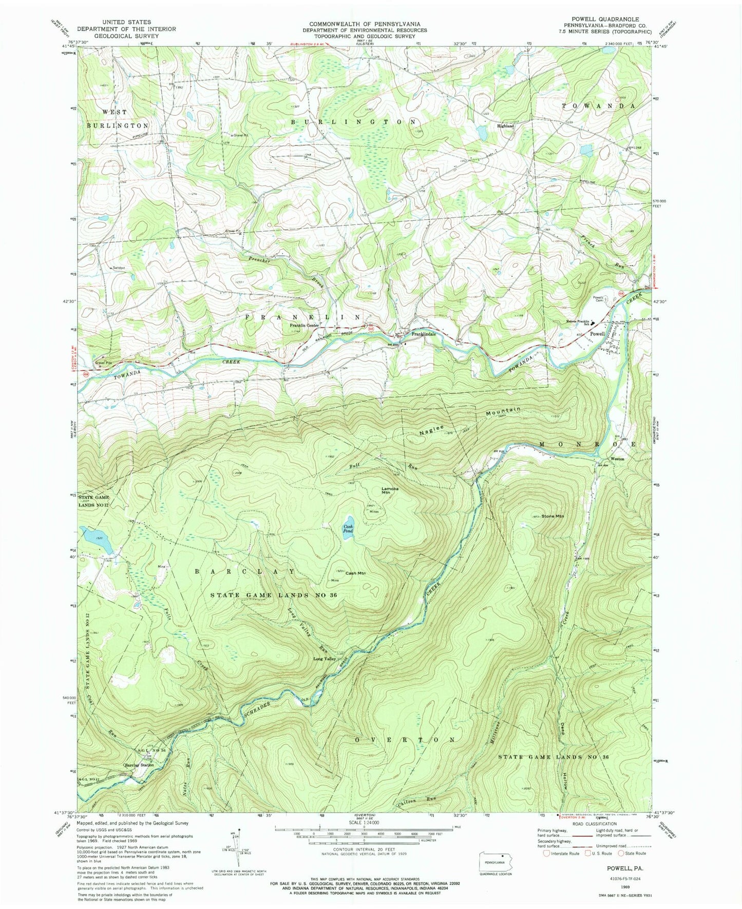
Historical USGS topographic quad map of Powell in the state of Pennsylvania. Typical map scale is 1:24,000, but may vary for certain years, if available. Print size: 24" x 27"
This quadrangle is in the following counties: Bradford.
The map contains contour lines, roads, rivers, towns, and lakes. Printed on high-quality waterproof paper with UV fade-resistant inks, and shipped rolled.
Contains the following named places: Barclay Station, Bull Run, Cash Mountain, Cash Pond, Coal Run, Deep Hollow, Falls Creek, Franklin Center, Franklindale, French Run, Lamoka Mountain, Long Valley Run, Monroe Franklin School, Naglee Mountain, Nates Run, North Branch Towanda Creek, Powell, Powell Cemetery, Preacher Brook, State Game Lands Number 36, Stone Mountain, Chilson Run, Millstone Creek, Schrader Creek, Sugar Run, Highland, Long Valley, Weston, Township of Barclay (historical), Township of Franklin, Franklin Township Volunteer Fire and Rescue Department, Dodge Cemetery Old, Franklin Center Christian Cemetery, Franklindale Cemetery, West Franklin Cemetery, Willey Family Cemetery


