MyTopo
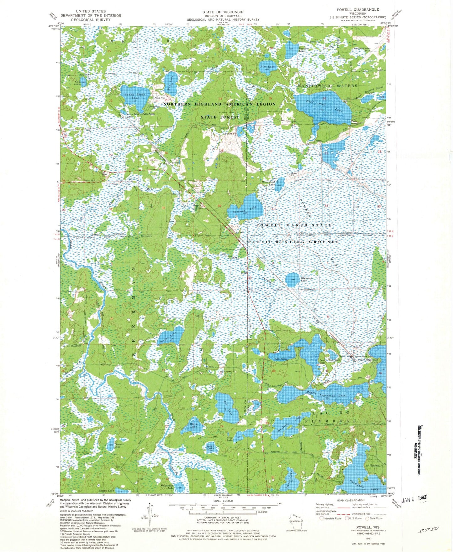
Classic USGS Powell Wisconsin 7.5'x7.5' Topo Map
Couldn't load pickup availability
Historical USGS topographic quad map of Powell in the state of Wisconsin. Typical map scale is 1:24,000, but may vary for certain years, if available. Print size: 24" x 27"
This quadrangle is in the following counties: Iron, Vilas.
The map contains contour lines, roads, rivers, towns, and lakes. Printed on high-quality waterproof paper with UV fade-resistant inks, and shipped rolled.
Contains the following named places: Birch Lake, Black Lake, Chewelah Lake, Cub Lake, Dead Pike Lake, Deerfoot Lake, Doud Lake, Fat Lake, Grey Lake, Homestead Lake, Little Bear Lake, Lost Creek, Lower Sugarbush Lake, Middle Sugarbush Lake, Mud Lake, Munnomin Lake, Muskesin Lake, Pier Lake, Powell, Powell Marsh, Randall Creek, Sandy Beach Lake, Sherman Lake, Signal Lake, Sugarbush Creek, Thomas Lake, Three Stepping Stones Lakes, Upper Sugarbush Lake, Negani Lake, Manitowish Waters Airport, Powell Marsh State Public Hunting Grounds, Manitowish Waters Fire Company, Sugarbush Flowage, Stepping Stone Lake Number 2, Stepping Stone Lake Number 3


