MyTopo
Classic USGS Powellton Virginia 7.5'x7.5' Topo Map
Couldn't load pickup availability
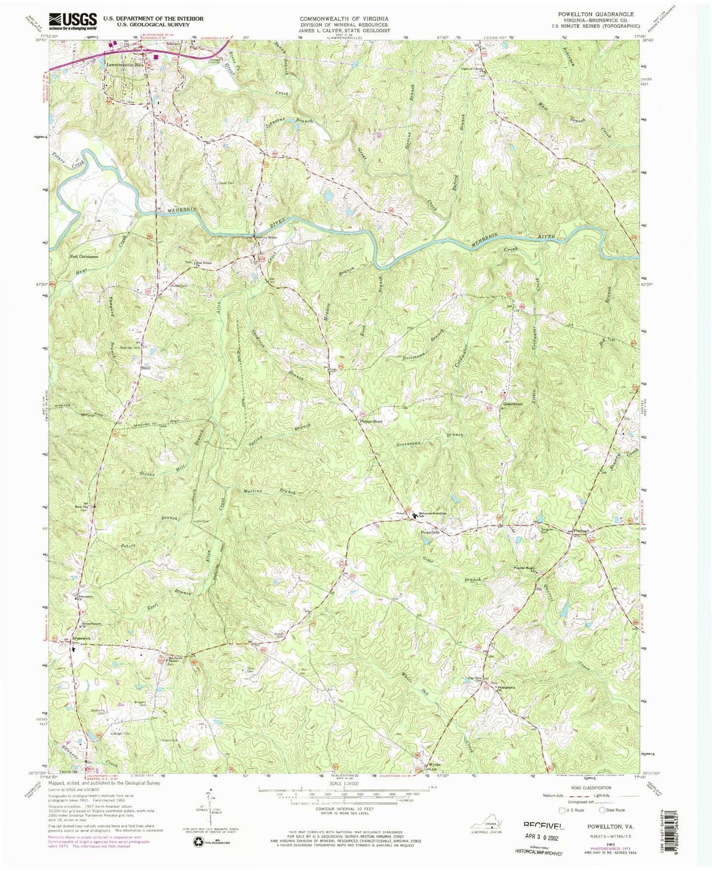
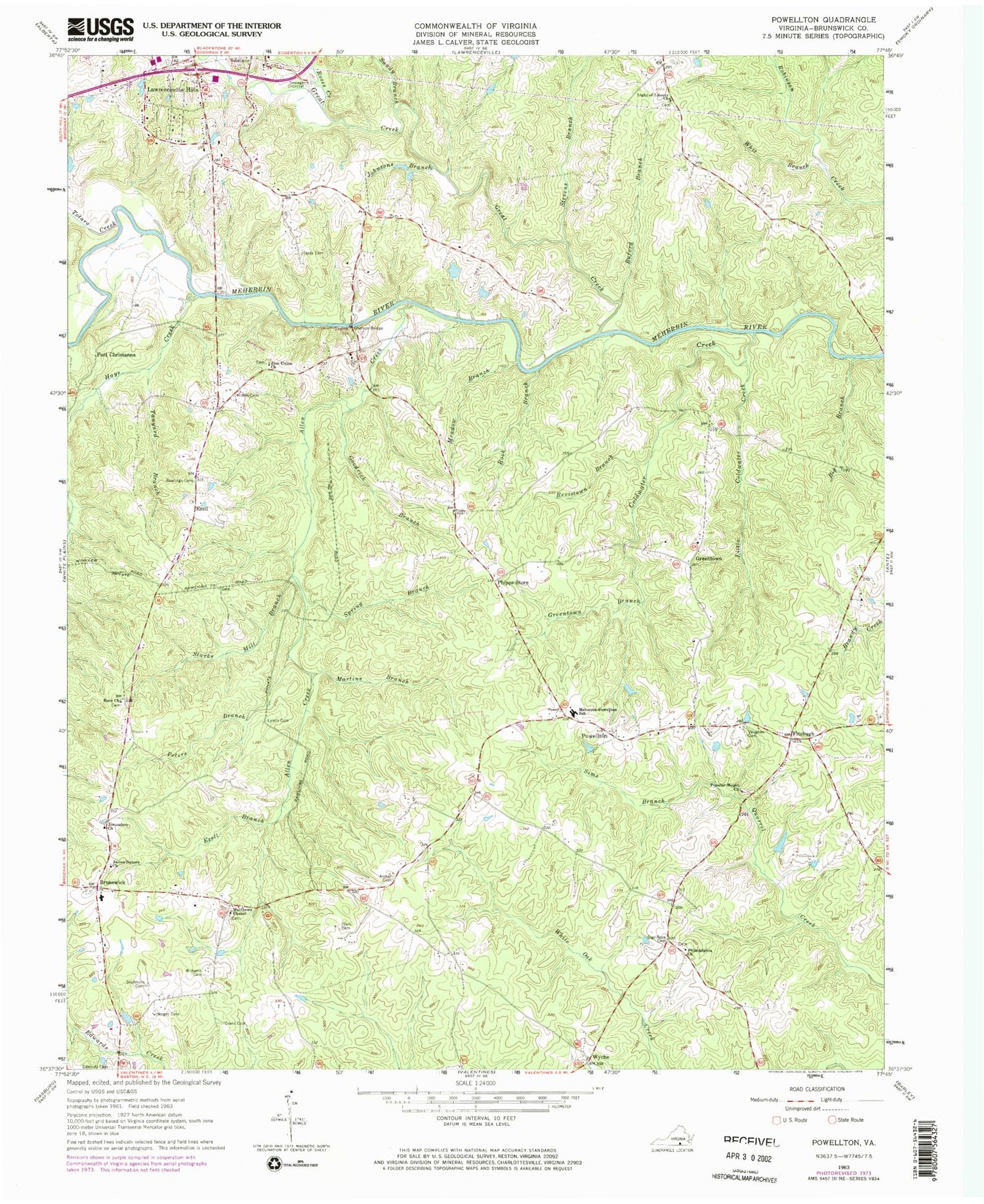
Historical USGS topographic quad map of Powellton in the state of Virginia. Map scale may vary for some years, but is generally around 1:24,000. Print size is approximately 24" x 27"
This quadrangle is in the following counties: Brunswick.
The map contains contour lines, roads, rivers, towns, and lakes. Printed on high-quality waterproof paper with UV fade-resistant inks, and shipped rolled.
Contains the following named places: Allen Creek, Archer Cemetery, Big Branch, Bonners Grove Church, Bonners Grove Junction, Bonners Grove School, Brunswick, Brunswick Preparatory School, Buford Branch, Camp Number Two, Clark Cemetery, Coldwater Creek, Drumgooles Store, Edwards Cemetery, Evans Cemetery, Ezell, Ezell Branch, Fitzhugh, Fort Christanna, Fort Hill, Gholson Bridge, Goodrich Branch, Great Creek, Greentown, Greentown Branch, Hardy Cemetery, Hays Creek, James Square Church, Jerusalem Church, Johnsons Branch, Jones Low Bridge, Lawrenceville Hills, Light of Liberty Church, Little Coldwater Creek, Lynch Cemetery, Martins Branch, Matthews Chapel, Meadow Branch, Meherrin - Powellton Elementary School, Old Fitzhugh, Peters Branch, Philadelphia Church, Phipps Store, Popular Mount Church, Powellton, Powellton District, Rawlings Cemetery, Revistown, Revistown Branch, Rock Branch, Rock Church, Roses Creek, Ruffin Cemetery, Sandy Branch, Sculthorp Cemetery, Sign Rock Cemetery, Sims Branch, Sims Mill, Spring Branch, Starks Mill Branch, Stevens Branch, Tanyard Branch, Totaro Creek, Vaughan Cemetery, Vineland, Whit Branch, Williams Cemetery, Wright Cemetery, Wyche, Zion Union Church, Zion Union School Number One, Zion Union School Number Two, ZIP Code: 23868


