MyTopo
Classic USGS Powhatan Point Ohio 7.5'x7.5' Topo Map
Couldn't load pickup availability
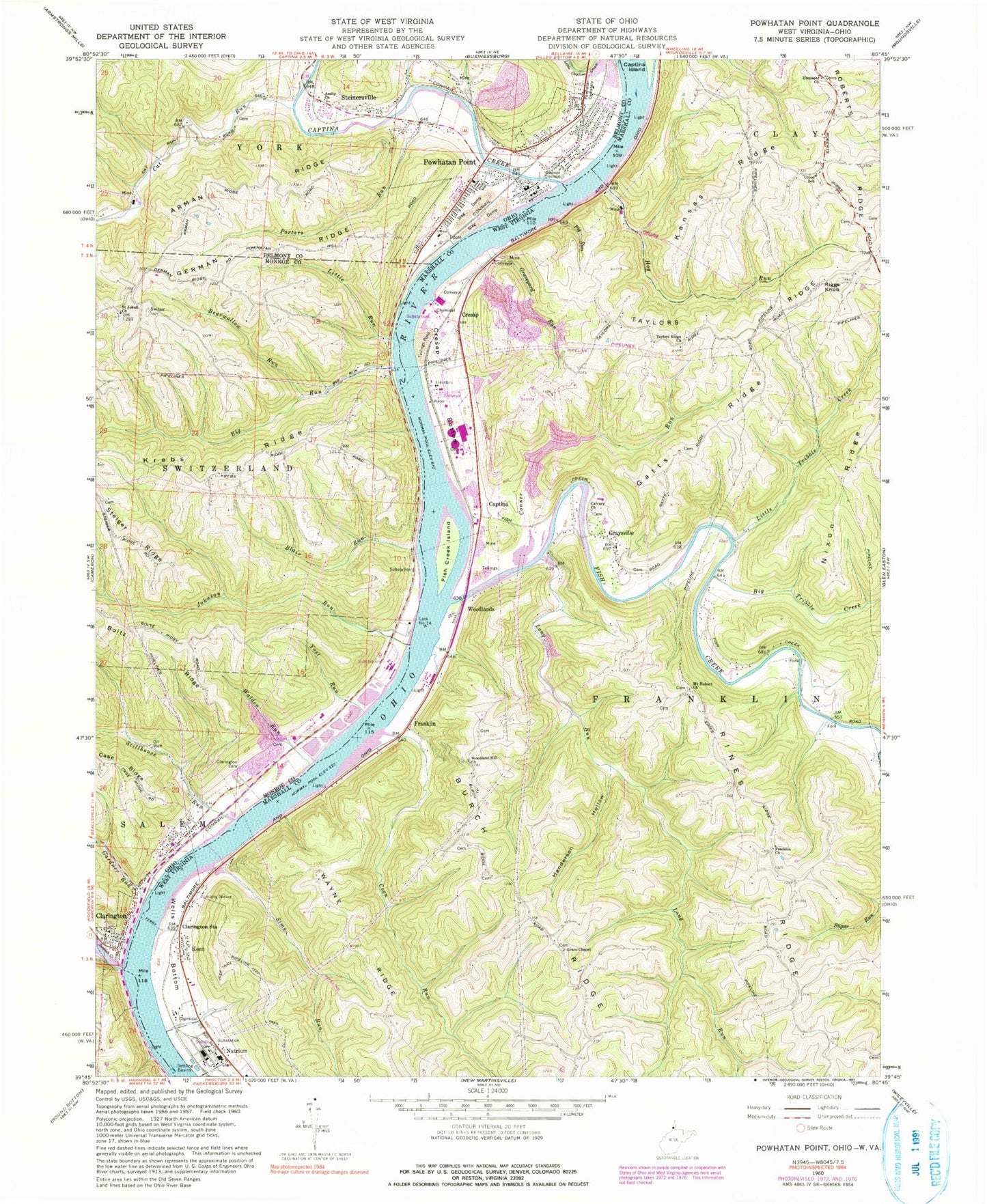
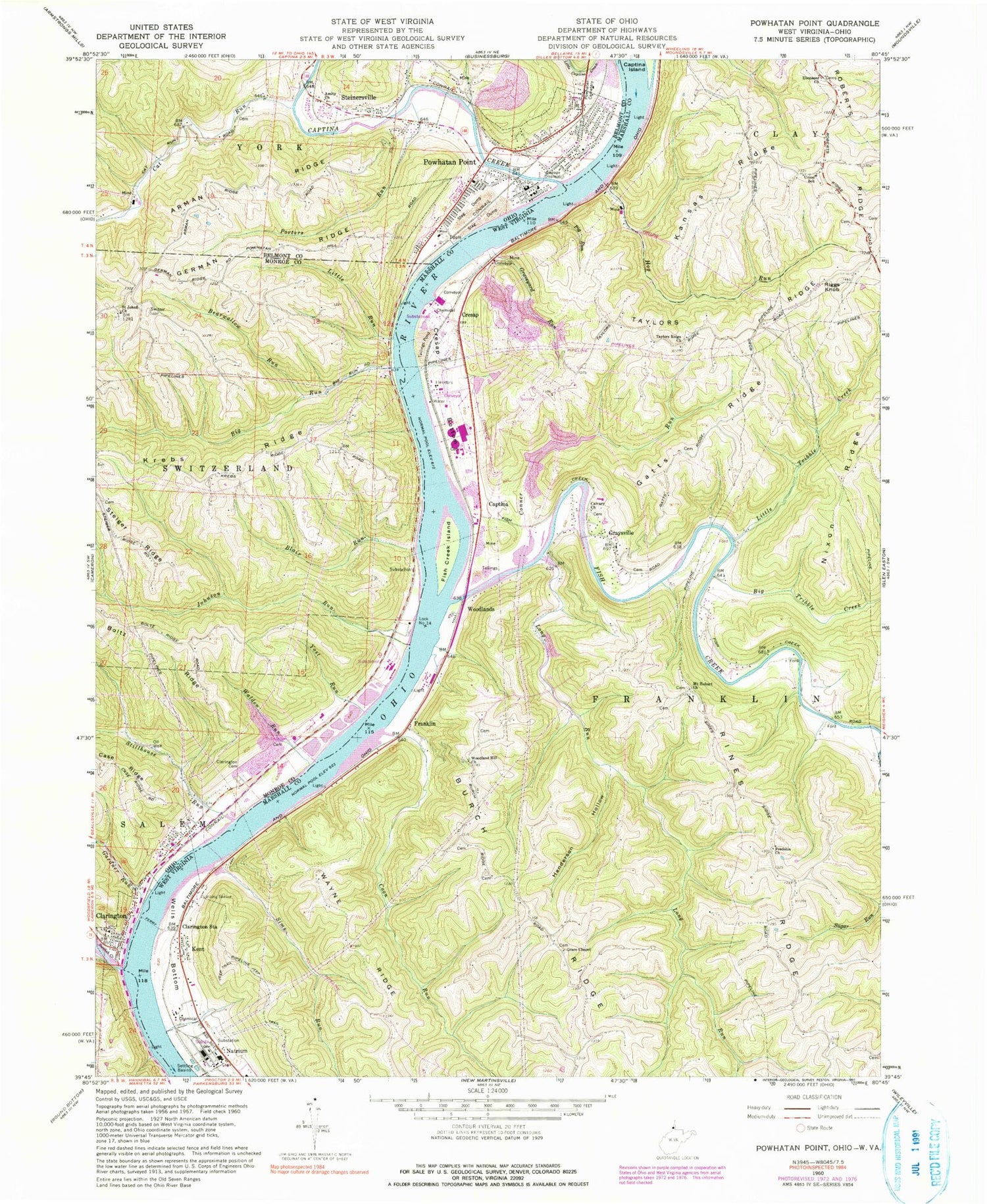
Historical USGS topographic quad map of Powhatan Point in the states of Ohio, West Virginia. Typical map scale is 1:24,000, but may vary for certain years, if available. Print size: 24" x 27"
This quadrangle is in the following counties: Belmont, Marshall, Monroe.
The map contains contour lines, roads, rivers, towns, and lakes. Printed on high-quality waterproof paper with UV fade-resistant inks, and shipped rolled.
Contains the following named places: Amity Church, Arman Ridge, Bearwallow Run, Blair Run, Boltz Ridge, Clarington Cemetery, Little Run, Porters Run, Powhatan Cemetery, Saint Johns Church, Walden Run, Yost Run, Powhatan Elementary School, Clarington Elementary School, Clines Island (historical), Krebs Landing, Johnson Run, Clarington, Sunfish Creek State Forest, Powhatan Point, Steinersville, Cat Run, Powhatan Point, Big Run, Gardner Run, Stillhouse Run, Little Run Landing, Stillhouse Run (historical), Powhatan High School (historical), Captina Creek, Clarington United Methodist Church, Sunfish Creek, Quarto Mine Number Four Dam Number One, Quarto Mine Number Four Dam Number One, Quarto Mine Number Four Dam Number Two, Quarto Mine Number Four Dam Number Two, Quarto Mine Number Four Dam Number Three, Quarto Mine Number Four Dam Number Three, Quarto Mine Number Four Dam Number Four, Quarto Mine Number Four Dam Number Four, Quarto Mine Number Four Dam Number Five, Quarto Mine Number Four Dam Number Five, Saint Johns Cemetery, Kingdom Hall of Jehovahs Witnesses, Powhatan United Methodist Church, Powhatan Point Post Office, Village of Clarington, Village of Powhatan Point, Clarington Volunteer Fire Department, Powhatan Fire and Emergency Medical Services Station 33, Monroe County Emergency Medical Services Squad 3 Clarington, Van Dyne Trailer Court, Powhatan Point Police Department, Clarington Post Office, Big Tribble Creek, Burch Ridge, Calvary United Methodist Church, Clarington Station, Conner Run, Coon Run, Cresap Bottom, Ebenezer United Methodist Church, Fish Creek, Fish Creek Island, Fredonia Church, Gatts Ridge, Grace Chapel, Graveyard Run, Graysville, Henderson Hollow, Hog Run, Kansas Ridge, Little Tribble Creek, Long Run, Mount Hobart Church, Nixon Ridge, Pig Run, Riggs Knob, Rines Ridge, Roberts Ridge, Sims Run, Taylors Ridge, Taylors Ridge Church, Union Junior High School (historical), Wayne Ridge, Wells Bottom, Woodland Hill Church, Hubbs Landing, Cresap Bend, Cresap, Captina, Franklin, Kent, Woodlands, Mitchell Plant Bottom Ash Pond Dam, WRKP-FM (Moundsville), White Spring, Homer Bulter Spring, Lionel Persinger Spring, Albert Kuhens Spring, William Hamilton Spring, Ralph Corley Spring, Joseph Kramer Spring, Stella Barlow Spring, Doty Cemetery, Grace Chapel Cemetery, Harbison Cemetery, Waye Cemetery, Bowman School (historical), Ebenezer Cemetery, Fredonia Cemetery, Gravel School (historical), Graysville Cemetery, Green View Cemetery, Jefferson - Staniford Cemetery, Mount Hobart Cemetery, Rine - Yoho Cemetery, Taylors Ridge Cemetery, Welcome School (historical), Burch School (historical), Captina-Graysville School (historical), Cleveland-Arnold School (historical), Cresap Methodist Episcopal Church (historical), Cresap School (historical), Fort Baker (historical), Franklin-Lower Graysville School (historical), Fredonia School (historical), Graysville School (historical), Hall School (historical), Ireland Mine, Miller School (historical), Mount Hobart School (historical), Rock Hill Baptist Church (historical), Slippery Ford, Sloane Christian Church (historical), Taylors Ridge School (historical), Woco School (historical), Woodland Hill School (historical), Mitchell Power Plant, Lock Number 14 (historical), Roberts Ridge Volunteer Fire Department, Fish Creek Volunteer Fire Department, Woodlands Bridge, Graysville Bridge


