MyTopo
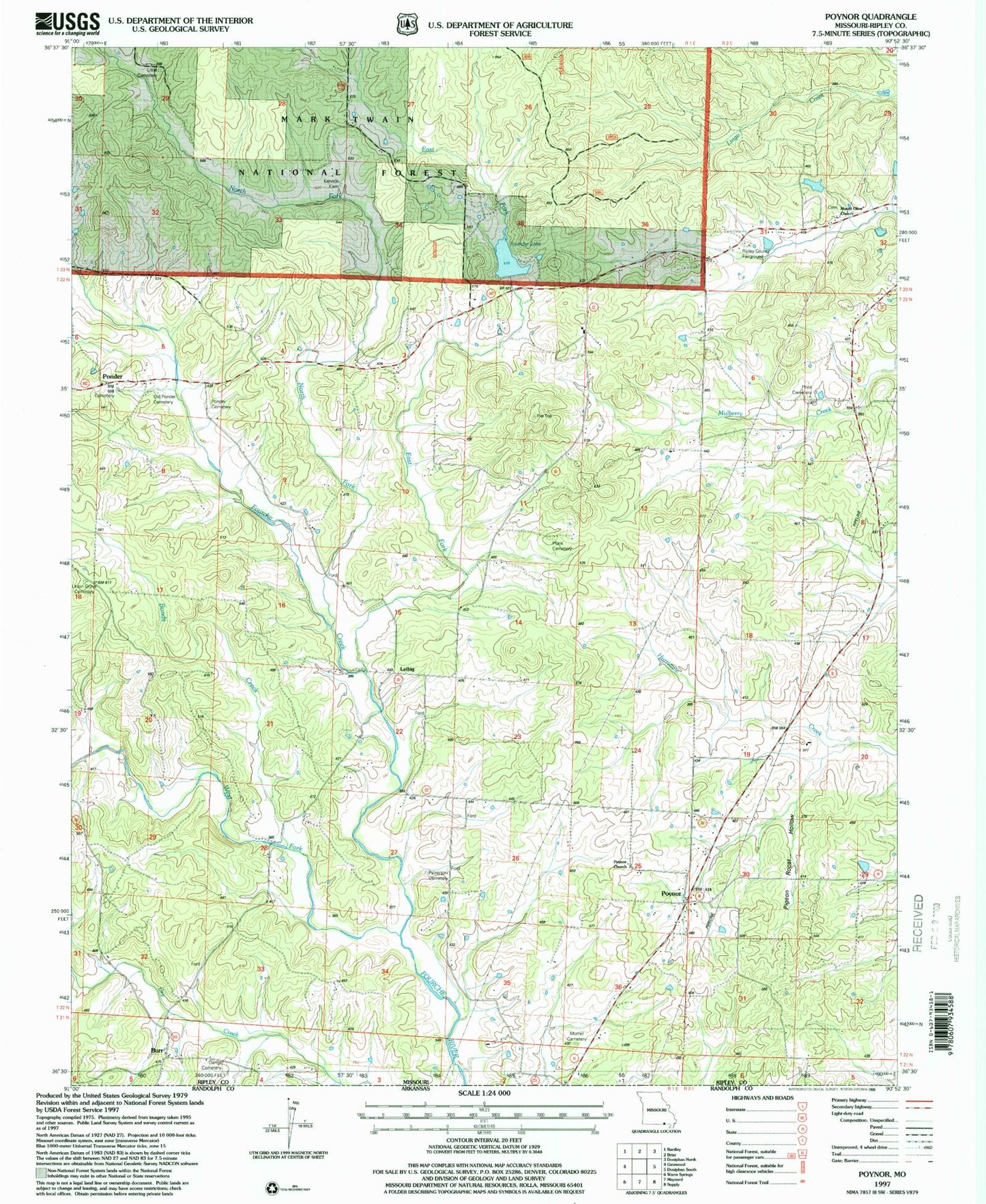
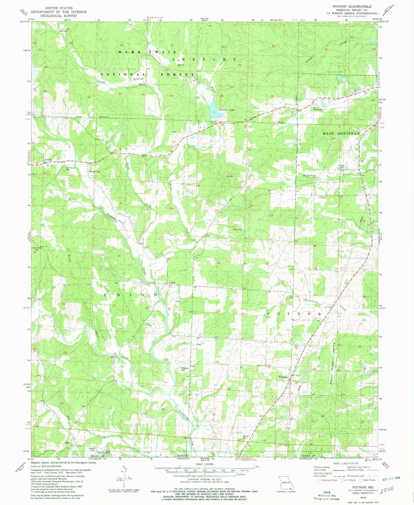
Classic USGS Poynor Missouri 7.5'x7.5' Topo Map
Couldn't load pickup availability
Historical USGS topographic quad map of Poynor in the state of Missouri. Map scale may vary for some years, but is generally around 1:24,000. Print size is approximately 24" x 27"
This quadrangle is in the following counties: Ripley.
The map contains contour lines, roads, rivers, towns, and lakes. Printed on high-quality waterproof paper with UV fade-resistant inks, and shipped rolled.
Contains the following named places: Avon Gibson Lake, Bellview West School, Bonds Creek, Burr, Dalton Cemetery, Doyle, Doyle Post Office, East Fork Fourche Creek, Flat Top School, Fourche Creek, Fourche Creek Watershed Number 12 Dam, Fourche Creek Watershed Number 13 Dam, Fourche Creek Watershed Number 7 Dam, Fourche Lake, Gatewood Volunteer Fire Department Station 2, Glen Holland Lake, Kennon Cemetery, Leibig, Little Cemetery, Mount Olive Church, Murrell Cemetery, New Home Church, North Fork Fourche Creek, Old Ponder Cemetery, Patterson Cemetery, Pigeon Roost Hollow, Plunk Cemetery, Plunk School, Ponder, Ponder Catholic Cemetery, Ponder School, Poynor, Poynor Census Designated Place, Poynor Church, Poynor School, Poynor Volunteer Fire Department, Price Cemetery, Price School, Ripley County Fairground, Rosson School, Sugar Tree School, Township of Poynor, Township of Union, Union Grove Cemetery, Union School, West Fork Fourche Creek


