MyTopo
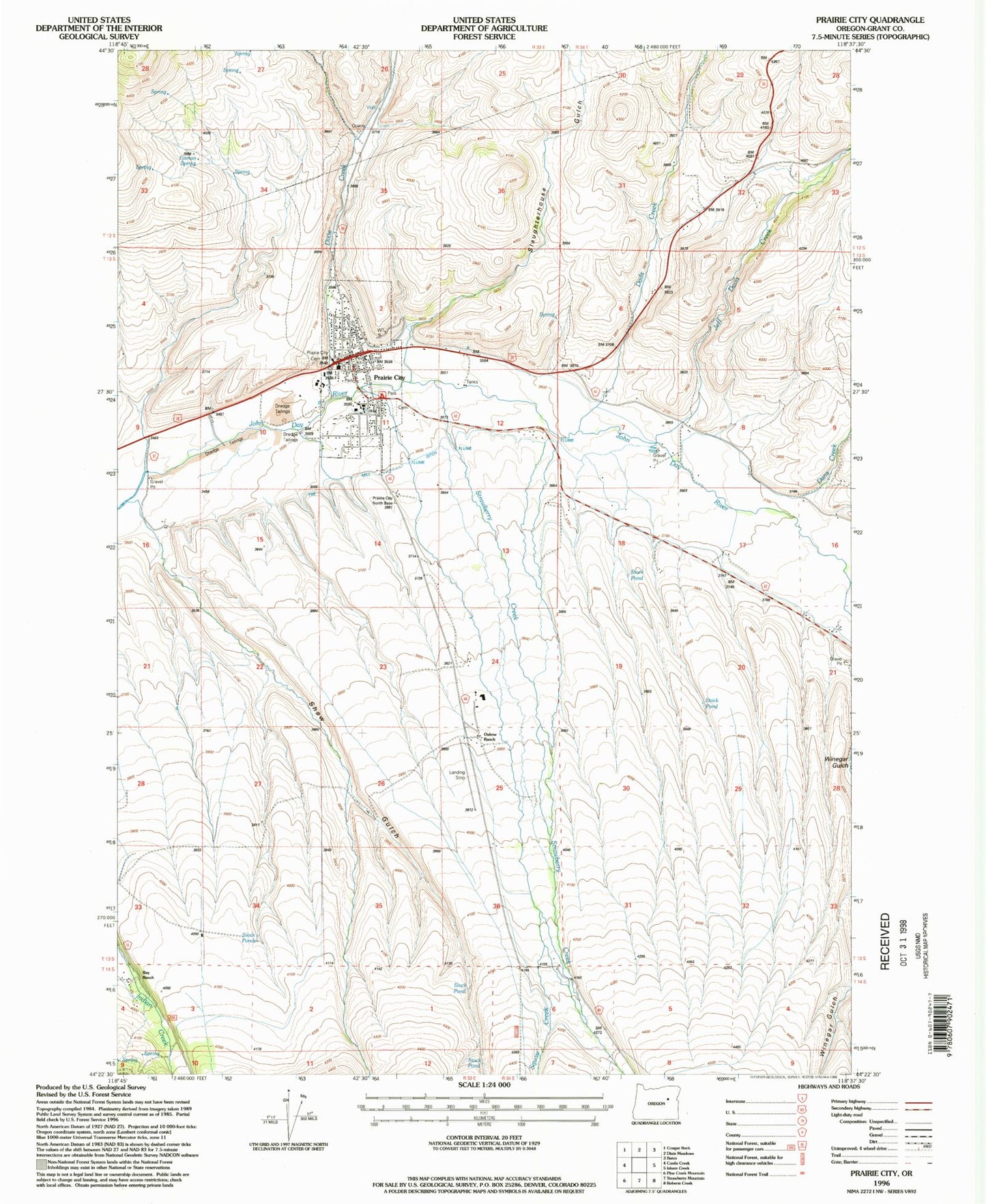
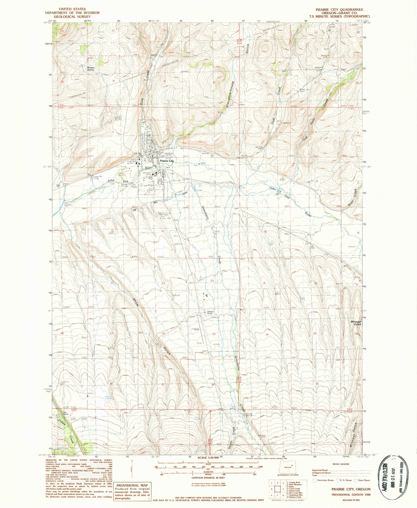
Classic USGS Prairie City Oregon 7.5'x7.5' Topo Map
Couldn't load pickup availability
Historical USGS topographic quad map of Prairie City in the state of Oregon. Map scale may vary for some years, but is generally around 1:24,000. Print size is approximately 24" x 27"
This quadrangle is in the following counties: Grant.
The map contains contour lines, roads, rivers, towns, and lakes. Printed on high-quality waterproof paper with UV fade-resistant inks, and shipped rolled.
Contains the following named places: A Coombs Ranch, B Standbro Ranch, Camp Logan, Carter Ranch, City of Prairie City, Cline Draw, Dads Creek, Dans Creek, Depot Park Recreation Site, DeWitt Museum, Dixie Creek, Faiman Spring, H Coombs Ranch, Hi Country No 2 Airport, I Standbro Ranch, Jeff Davis Creek, McHaley Cemetery, Oxbow Ranch, Oxbow Ranch Airport, Prairie City, Prairie City Bench, Prairie City Cemetery, Prairie City City Hall, Prairie City Depot, Prairie City Fire Department, Prairie City Forest Service Depot, Prairie City Police Department, Prairie City Post Office, Prairie City Public Works Department Office, Prairie City Ranger Station, Prairie City Reservoir, Prairie City School, Prairie Wood Products Cogen 1 Biomass Facility, Ray Ranch, Sharp Creek, Shaw Gulch, Slaughterhouse Gulch, Snow Creek, Strawberry Creek, Susie Creek, The Mill Ditch, Velvin Ranch, Walden Springs, Warm Springs Branch, Winegar Ranch, ZIP Code: 97869


