MyTopo
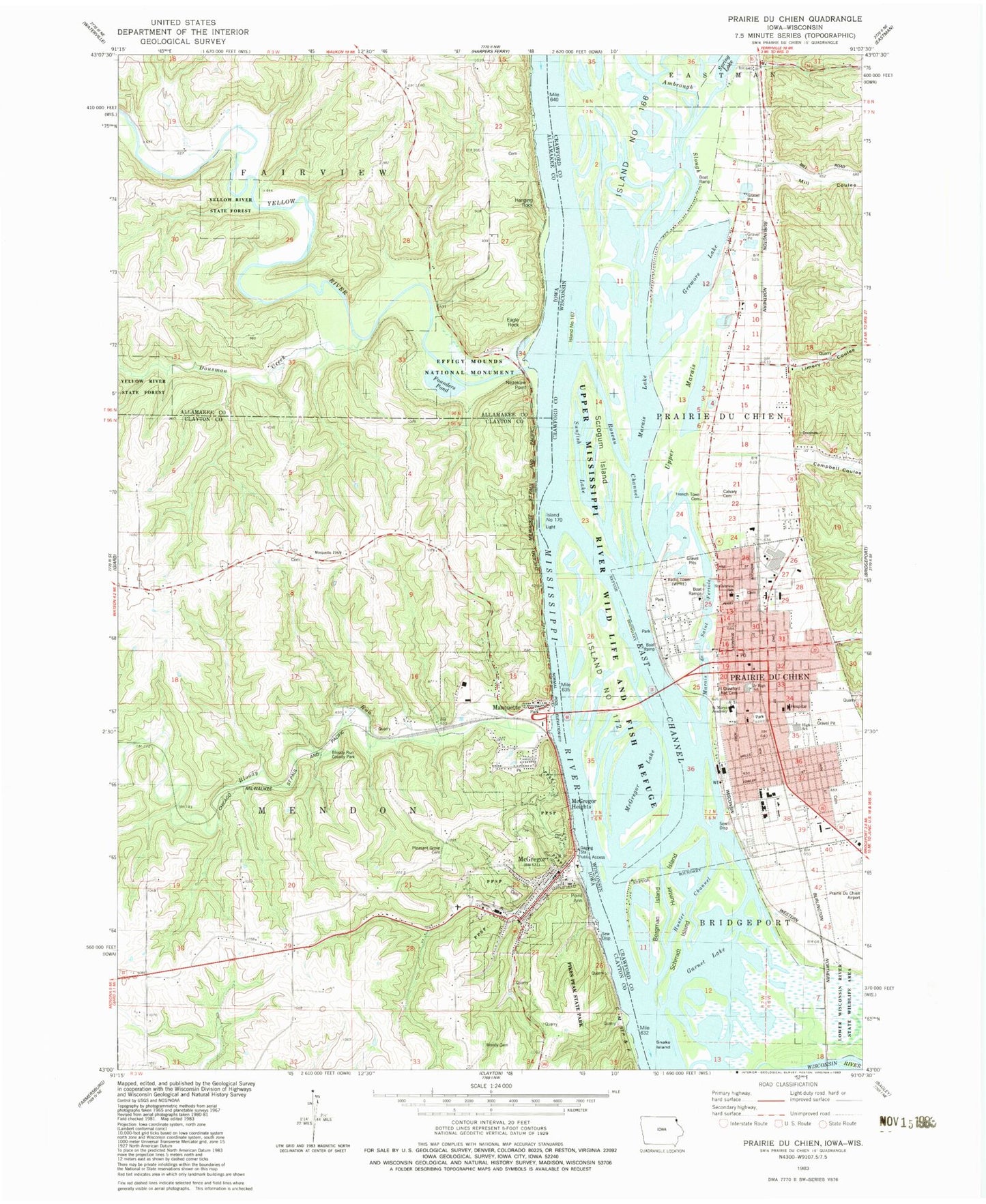
Classic USGS Prairie du Chien Wisconsin 7.5'x7.5' Topo Map
Couldn't load pickup availability
Historical USGS topographic quad map of Prairie du Chien in the states of Wisconsin, Iowa. Map scale may vary for some years, but is generally around 1:24,000. Print size is approximately 24" x 27"
This quadrangle is in the following counties: Allamakee, Clayton, Crawford.
The map contains contour lines, roads, rivers, towns, and lakes. Printed on high-quality waterproof paper with UV fade-resistant inks, and shipped rolled.
Contains the following named places: Ambrough Slough, Baylis Cemetery, Beginning of Old Military Trail Historical Marker, Bergman Island, Bloody Run, Bloody Run County Park, Bloody Run Wildlife Management Area, Bluff View Intermediate School, Buell Park Cemetery, Calvary Cemetery, Campbell Coulee, Cecil Smith Athletic Field, City of Marquette, City of McGregor, City of Prairie du Chien, Cornelius Tourist Information Center, Crawford County Courthouse, Crawford County Sheriff's Department, Dousman Creek, Eagle Rock, East Channel, Eastman Cemetery, Effigy Mounds National Monument, Evergreen Cemetery, Fire Point, First Congregational Church, First Congregational United Church, First Lutheran Church, Fish Lake, Fort Crawford, Fort Crawford Cemetery Soldiers' Lot, Fort Crawford Medical Museum, Founders Pond, French Town Cemetery, Frenchtown School, Fur Trade Museum, Garnet Lake, Giard Tract State Historical Marker, Great River Care Center, Gremore Lake, Gunderson Lutheran Medical Clinic, Hanging Rock, Holy Trinity Episcopal Church, Hunter Channel, Hunter Island, Interstate Emergency Medical Services of Prairie du Chien, Island Number One Hundred Seventy, Island Number One Hundred Seventy-two, Island Number One Hundred Sixty-seven, Island Number One Hundred Sixty-six, Joseph and Emma Wachute Memorial Library, Kennedy Elementary School, Knapp Cemetery, Lawler Park, Limery Coulee, Limery Ridge Savanna State Natural Area, Mar Mac Emergency Rescue Squad, Marais de Saint Feriole, Marais Lake, Marquette, Marquette City Hall, Marquette City Park, Marquette Fire Department, Marquette Post Office, Martin Luther Preparatory School, McGregor, McGregor Administrative Site, McGregor City Hall, McGregor Fire Department - Hook and Ladder Company 1 Station 2, McGregor Fire Department Hook and Ladder Company 1, McGregor Heights, McGregor Lake, McGregor Manor, McGregor Museum, McGregor Police Department, McGregor Post Office, McGregor Public Library, McGregor River Front Park, McGregor United Methodist Church, MFL MarMac Intermediate School, MFL MarMac Middle School, Mill Coulee, Moody Cemetery, Nezeka Post Office, Nezekaw Point, Northeast Iowas First White Farmer Historical Marker, Pleasant Grove Cemetery, Point Ann, Point Ann Cemetery, Prairie Catholic School, Prairie Christian Academy, Prairie du Chien, Prairie du Chien City Hall, Prairie du Chien Correctional Institution, Prairie du Chien Correctional Institution School, Prairie du Chien Fire Department Station 1, Prairie du Chien Fire Department Station 2, Prairie du Chien High School, Prairie du Chien Police Department, Prairie du Chien Post Office, Prairie Du Chien Rescue Squad, Prairie du Chien Wastewater Treatment Facility, Prairie Sand and Gravel Pit, Pretitti Pit, Roseau Channel, Saint Feriole Island, Saint Gabriels Catholic Church, Saint Johns Catholic Church, Saint Johns School, Saint Marys Catholic Cemetery, Saint Marys Church, Saint Peter Evangelical Lutheran Church, Schmidt Island, Schoolhouse Mall, Scrogum Island, Selchs Mobile Home Park, Snake Island, Spaulding Cemetery, Spring Lake, Sunfish Lake, Tilmont Lake, Township of Fairview, Township of Mendon, Upper Doubles Lake, Upper Marais, Villa Louis, Walton Cemetery, West Yards, WPRE-AM (Prairie du Chien), Wyalusing Academy, Yellow River, ZIP Codes: 52157, 52158


