MyTopo
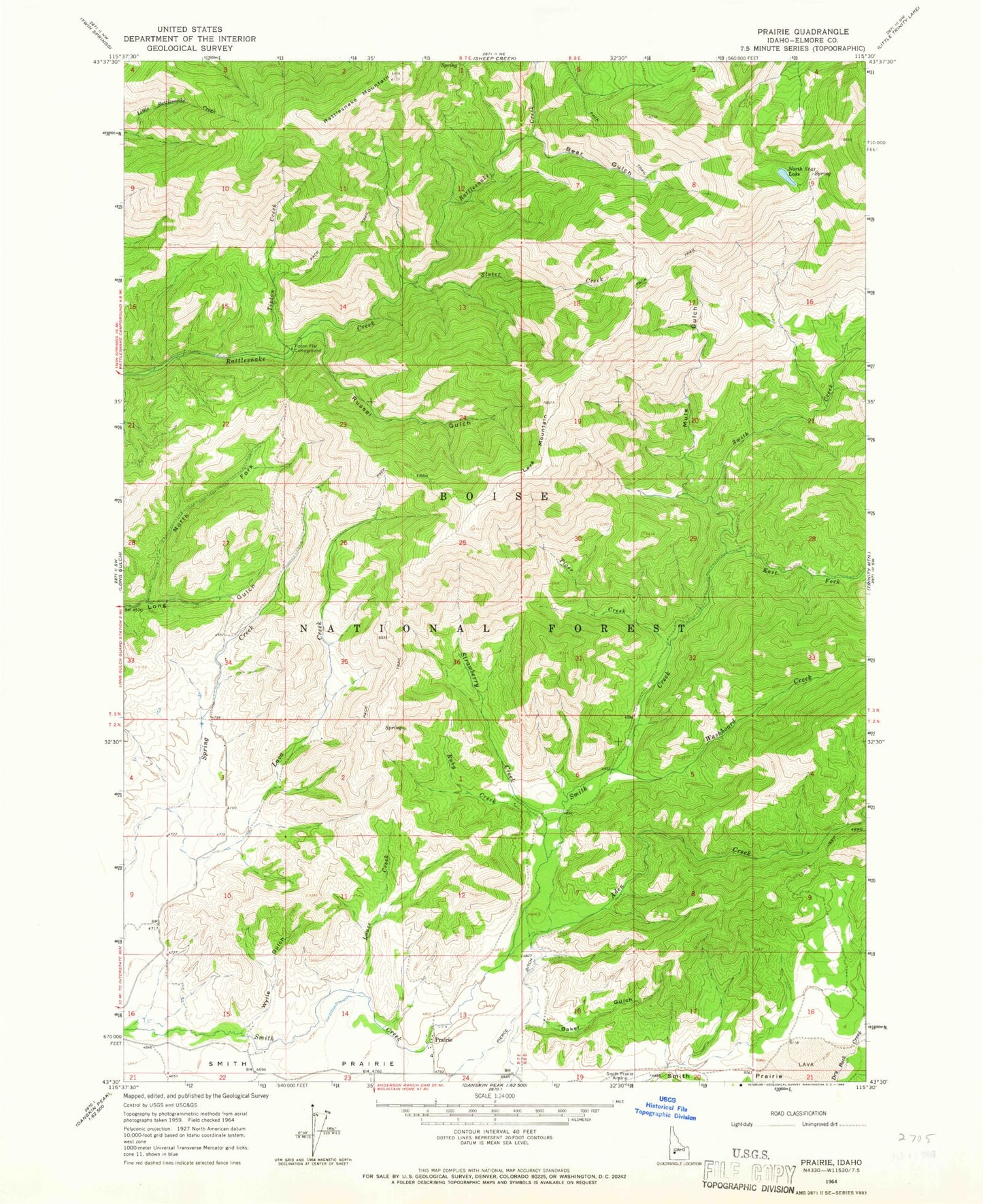
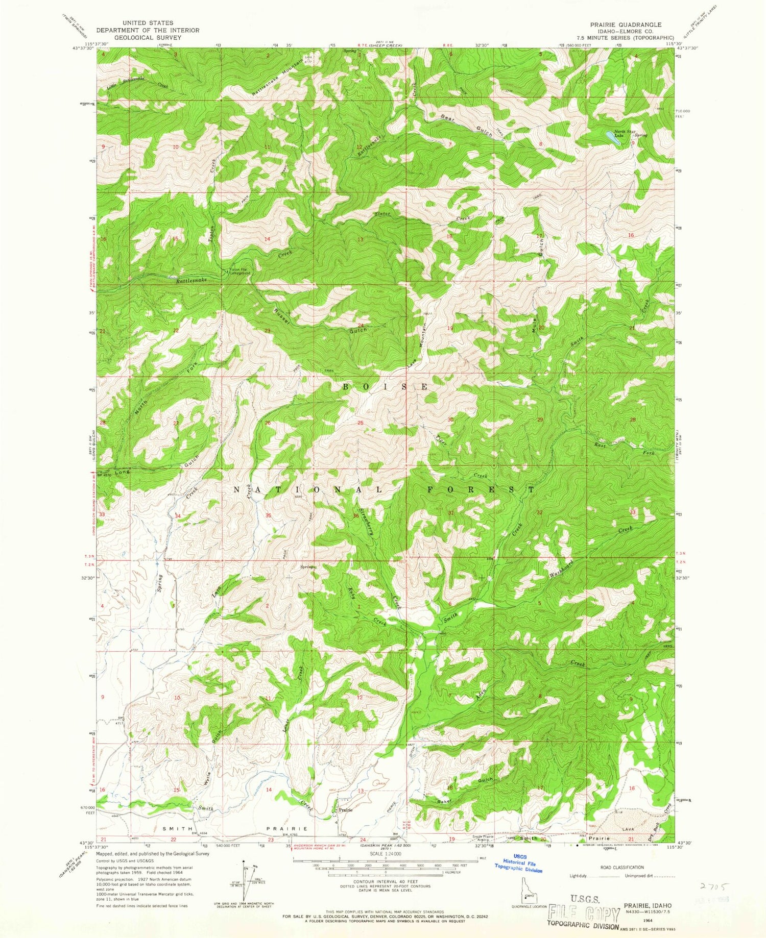
Classic USGS Prairie Idaho 7.5'x7.5' Topo Map
Couldn't load pickup availability
Historical USGS topographic quad map of Prairie in the state of Idaho. Map scale may vary for some years, but is generally around 1:24,000. Print size is approximately 24" x 27"
This quadrangle is in the following counties: Elmore.
The map contains contour lines, roads, rivers, towns, and lakes. Printed on high-quality waterproof paper with UV fade-resistant inks, and shipped rolled.
Contains the following named places: Aden Creek, Baker Gulch, Bear Gulch, East Fork Smith Creek, Lava Creek, Lava Mountain, Louse Creek, Mule Gulch, North Fork Valley, North Star Lake, Pierce Ditch, Prairie, Prairie Elementary - Junior High School, Rattlesnake Mountain, Ruby Creek, Russel Gulch, Slater Creek, Strawberry Creek, Tiger Creek, Tipton Creek, Tipton Flat Campground, Washboard Creek, Wylie Gulch