MyTopo
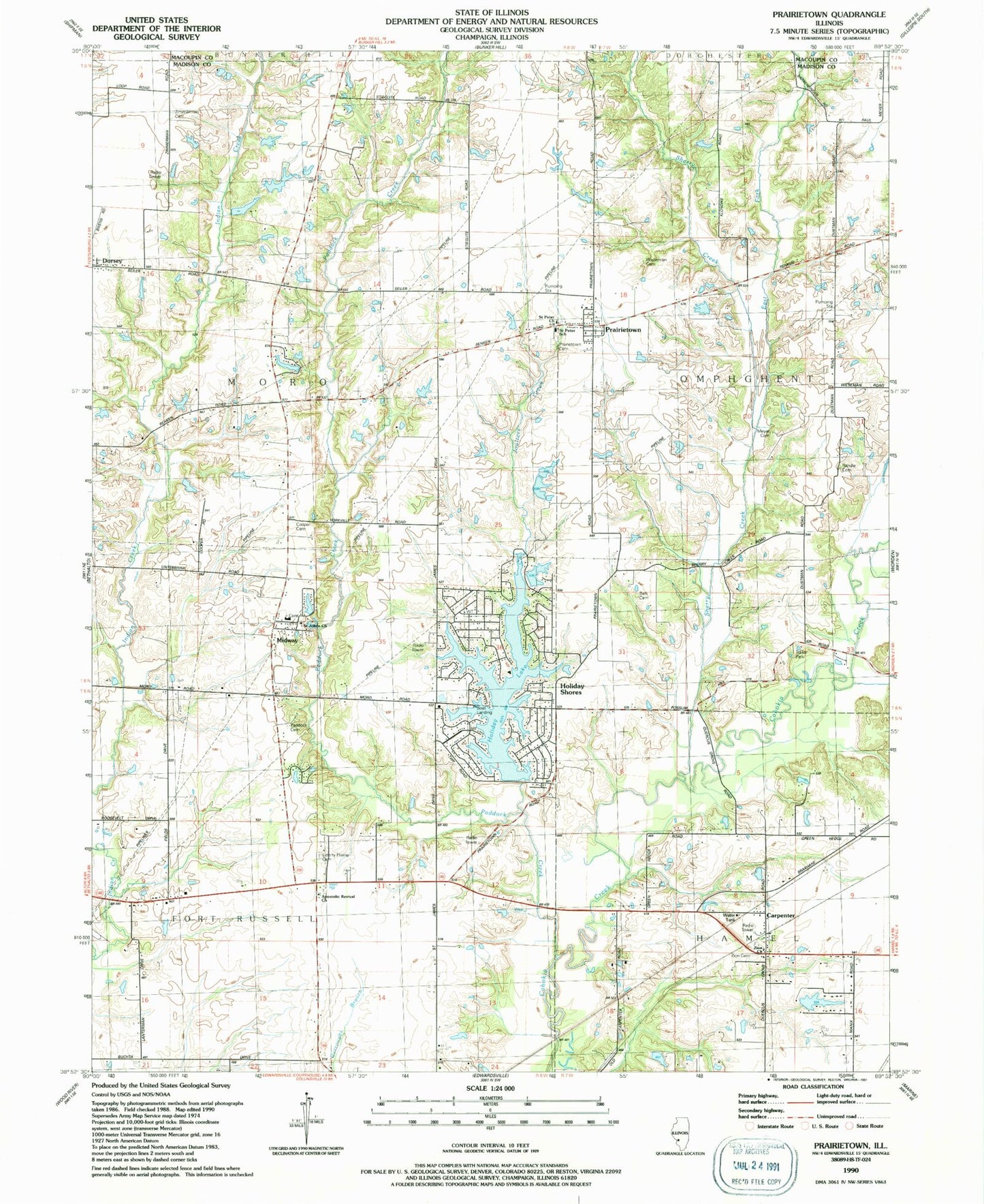
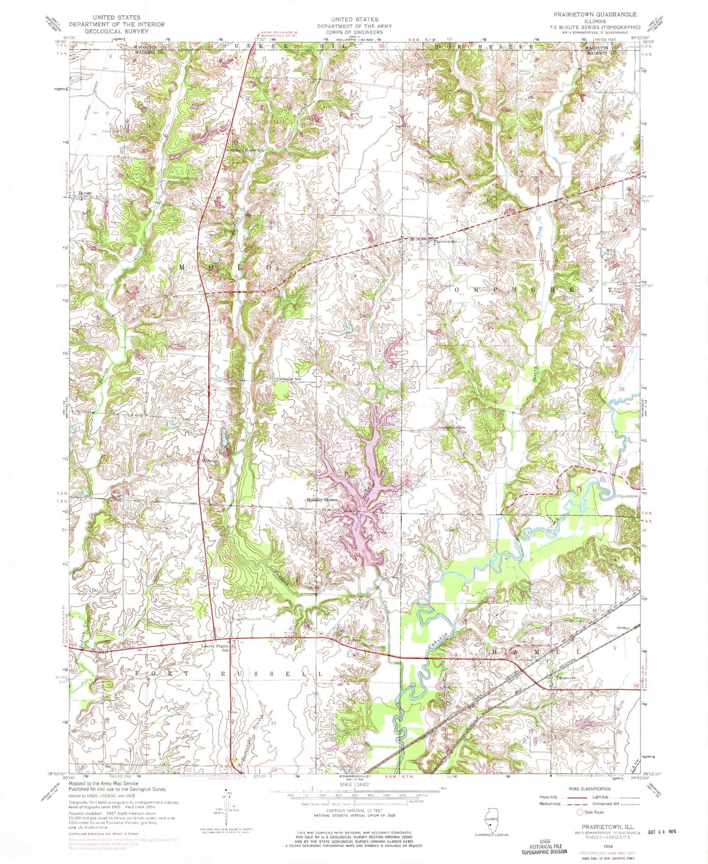
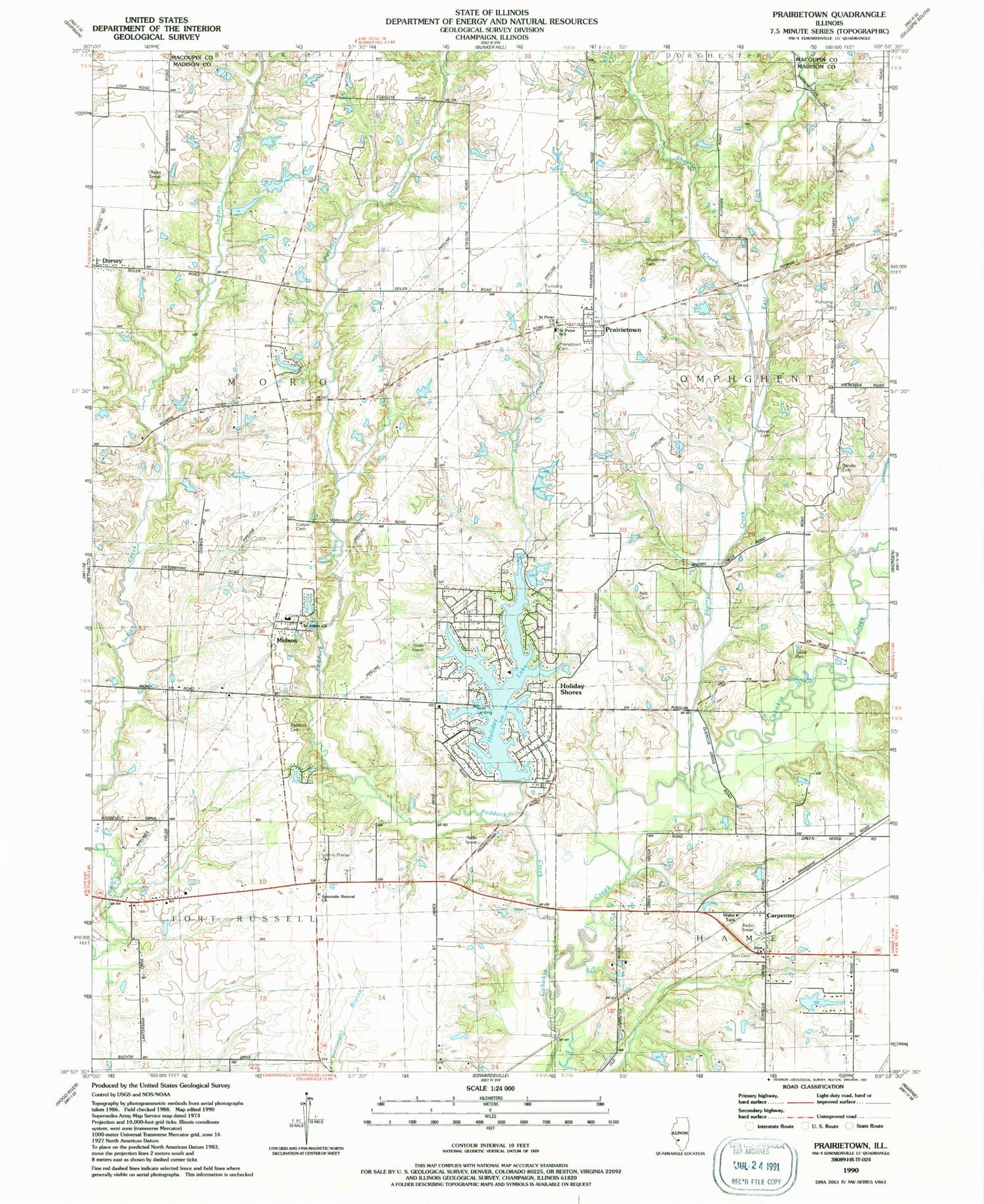
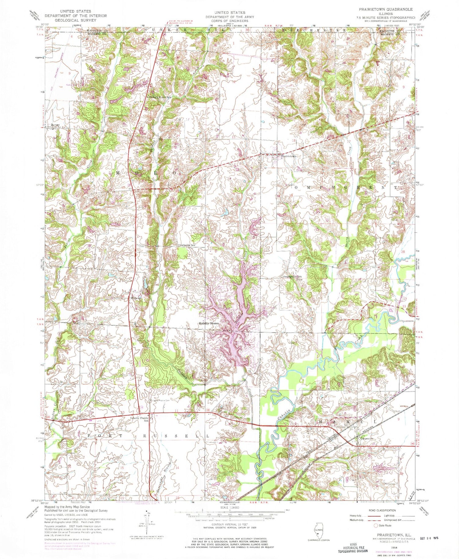
Classic USGS Prairietown Illinois 7.5'x7.5' Topo Map
Couldn't load pickup availability
Historical USGS topographic quad map of Prairietown in the state of Illinois. Map scale may vary for some years, but is generally around 1:24,000. Print size is approximately 24" x 27"
This quadrangle is in the following counties: Macoupin, Madison.
The map contains contour lines, roads, rivers, towns, and lakes. Printed on high-quality waterproof paper with UV fade-resistant inks, and shipped rolled.
Contains the following named places: Apostolic Revival Church, Belk Cemetery, Butler School, Carpenter, Cooper Cemetery, Dentons Branch, East Fork Sherry Creek, Grove School, Hickory Grove School, Holiday Lake, Holiday Shores, Holiday Shores Census Designated Place, Holiday Shores Fire Protection District, Holiday Shores Lake Dam, Joulters Creek, Joyces Lake, Joyces Lake Dam, Klondike Mine, Lake Heights, Lake Heights Dam, Lake Meadow, Lake Meadow Dam, Liberty Prairie Cemetery, Liberty Prairie School, Meyer Cemetery, Midway, Midway School, Omphghent Post Office, Omphghent School, Paddock Creek, Paddock Family Cemetery, Prairietown, Prairietown Cemetery, Prairietown Census Designated Place, Prairietown Fire Department, Randle Cemetery, Saint John United Church of Christ, Saint John United Church of Christ Cemetery, Saint Peter Lutheran Church, Saint Peter Lutheran School, Sherry Creek, Township of Fort Russell, Township of Moro, White Rock Creek, Wieseman Cemetery, Yates Lake, Yates Lake Dam, Yorkville School, Zimmerman Cemetery, Zimmerman School, Zion Lutheran Cemetery, Zion Lutheran Church, ZIP Codes: 62021, 62067


