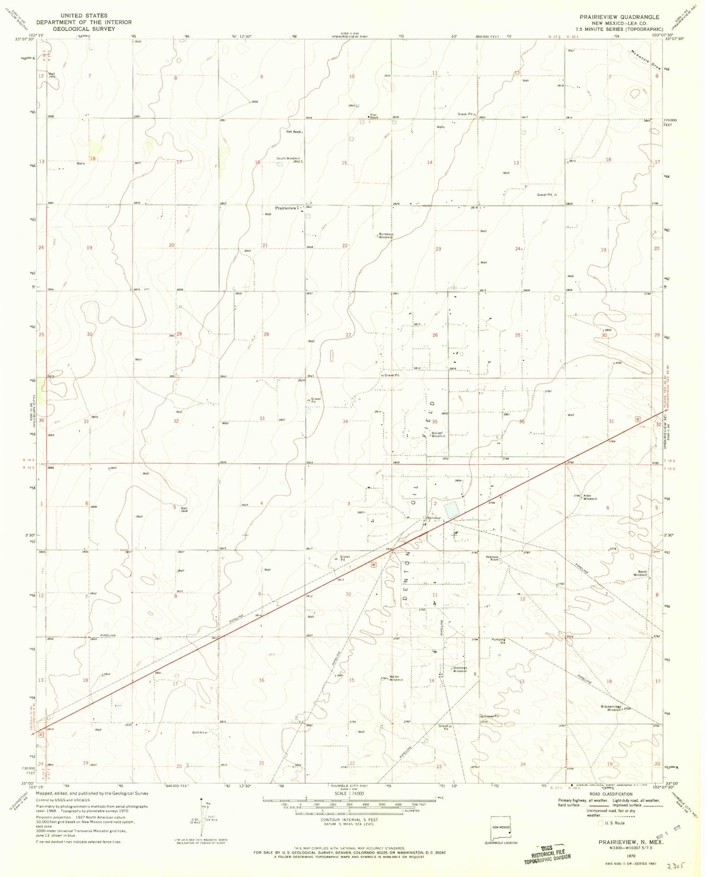
MyTopo
Classic USGS Prairieview New Mexico 7.5'x7.5' Topo Map
Regular price
$16.95
Regular price
Sale price
$16.95
Unit price
per
Couldn't load pickup availability
Historical USGS topographic quad map of Prairieview in the state of New Mexico. Map scale may vary for some years, but is generally around 1:24,000. Print size is approximately 24" x 27"
This quadrangle is in the following counties: Lea.
The map contains contour lines, roads, rivers, towns, and lakes. Printed on high-quality waterproof paper with UV fade-resistant inks, and shipped rolled.
Contains the following named places: 25-10273 Water Well, Allen Windmill, Balsh Windmill, Bordeaux Windmill, Brackenridge Windmill, Denton Oil Field, Dickinson Ranch, Fort Ranch, L-242 Water Well, Pope Ranch, Prairieview, Prairieview Weather Station, South Windmill, Stohman Windmill, Waller Windmill