MyTopo
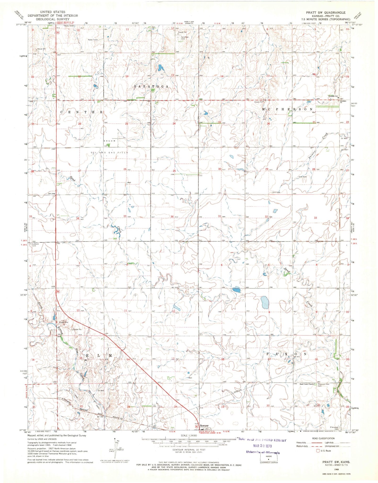
Classic USGS Pratt SW Kansas 7.5'x7.5' Topo Map
Regular price
$16.95
Regular price
Sale price
$16.95
Unit price
per
Couldn't load pickup availability
Historical USGS topographic quad map of Pratt SW in the state of Kansas. Map scale may vary for some years, but is generally around 1:24,000. Print size is approximately 24" x 27"
This quadrangle is in the following counties: Pratt.
The map contains contour lines, roads, rivers, towns, and lakes. Printed on high-quality waterproof paper with UV fade-resistant inks, and shipped rolled.
Contains the following named places: Brehm Oil and Gas Field, Ellenwood Cemetery, Glendale United Methodist Church, Kanza Co - Operative Association Grain Elevator Number 7, Ludwick Cemetery, Pleasant View Cemetery, Sand Creek Old German Baptist Brethren Church, Saratoga Cemetery, Township 11, Township 12, Township of Paxon