MyTopo
Classic USGS Pratt Valley Nebraska 7.5'x7.5' Topo Map
Regular price
$16.95
Regular price
Sale price
$16.95
Unit price
per
Couldn't load pickup availability
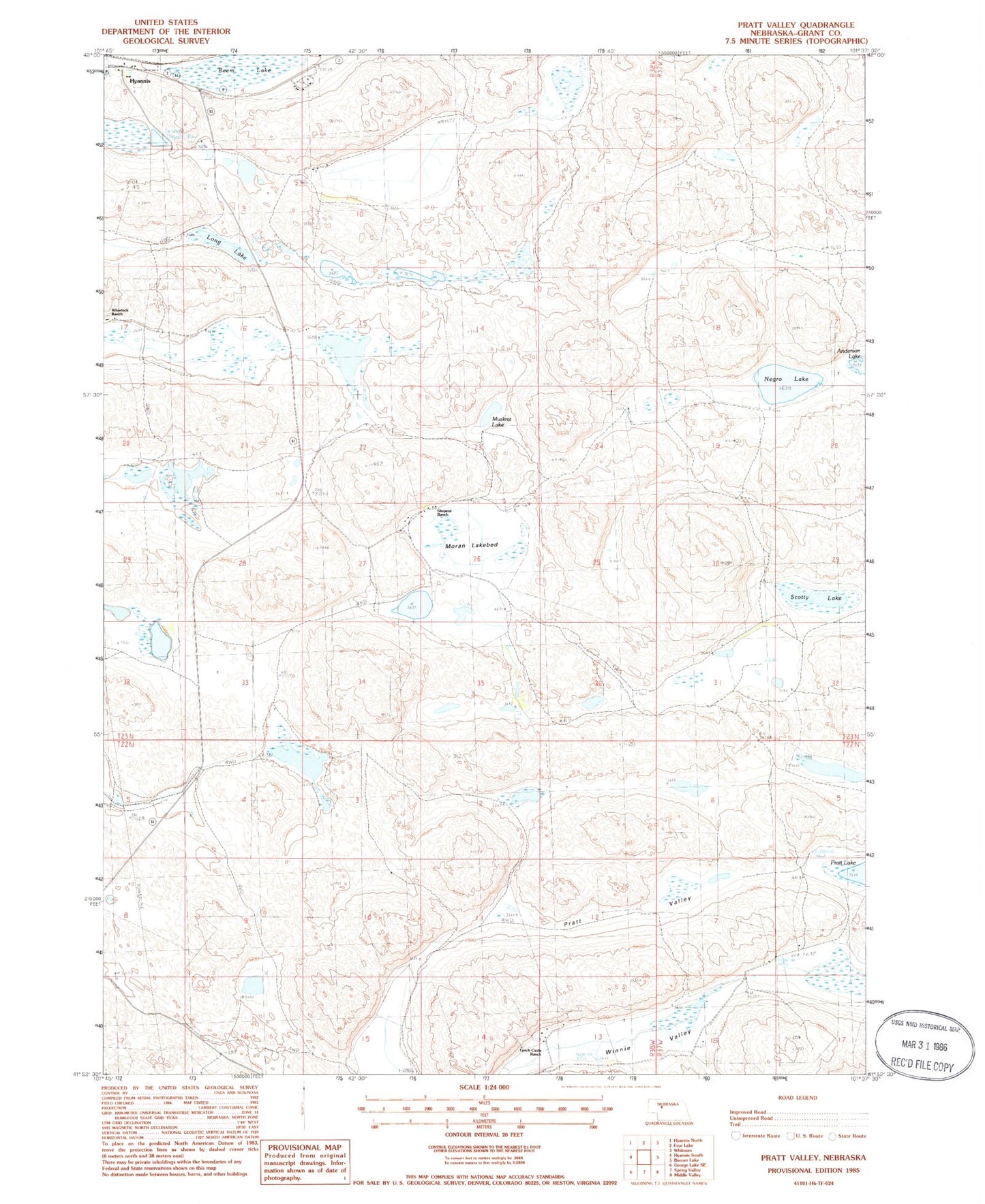
Historical USGS topographic quad map of Pratt Valley in the state of Nebraska. Map scale may vary for some years, but is generally around 1:24,000. Print size is approximately 24" x 27"
This quadrangle is in the following counties: Grant.
The map contains contour lines, roads, rivers, towns, and lakes. Printed on high-quality waterproof paper with UV fade-resistant inks, and shipped rolled.
Contains the following named places: Beem Lake, Grant County, Hyannis Election Precinct, Long Lake, Lynch Circle Ranch, Moran Lake, Muskrat Lake, Negro Lake, Pratt Valley, Scotty Lake, Sheperd Ranch, Split Lake, Wheelock Ranch