MyTopo
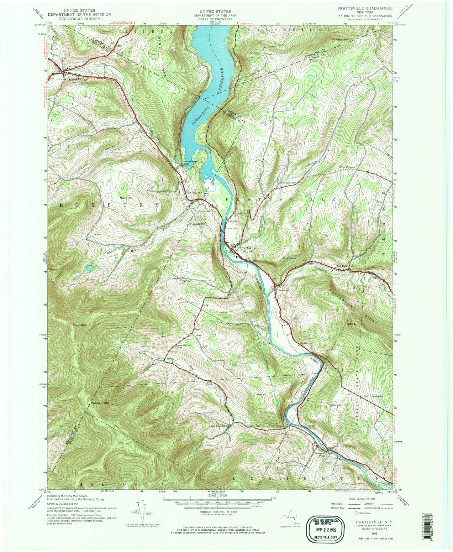
Classic USGS Prattsville New York 7.5'x7.5' Topo Map
Couldn't load pickup availability
Historical USGS topographic quad map of Prattsville in the state of New York. Typical map scale is 1:24,000, but may vary for certain years, if available. Print size: 24" x 27"
This quadrangle is in the following counties: Delaware, Greene, Schoharie.
The map contains contour lines, roads, rivers, towns, and lakes. Printed on high-quality waterproof paper with UV fade-resistant inks, and shipped rolled.
Contains the following named places: Bald Mountain, Batavia Kill, Bear Kill, Bearpen Mountain, Clay Hill, Deyo Cemetery, Dog Hill, Fairlawn Cemetery, Ferris Hill, Four Corners, Grand Gorge, Hardenburgh Falls, Huggins Cemetery, Huntersfield Cemetery, Huntersfield Creek, Johnson Hollow Brook, Kipp Hill, Little West Kill, Little West Kill Cemetery, Little West Kill School, Maben Hill, Mosquito Point, Negro Hill, Patterson Ridge, Lower Cemetery, Pratt Rocks, Prattsville, Prospect Hill, Rappelea Cemetery, Red Falls, Roundtop, Schoharie Reservoir, Sicklers Mountain, Toad Hollow, Pine Mountain, North Lexington, Mount Royal, School Number 1 (historical), Maben Airport, Town of Prattsville, Fall Brook, Moores Mobile Home Park, Fair View Cemetery, Falke's Quarry, Schoharie Creek Bridge, Grand Gorge United Methodist Church, Prattsville United Methodist Church, Zadock Pratt Museum, Prattsville Post Office, Prattsville Census Designated Place, Grand Gorge Hose Company 1, Prattsville Hose Company, Grand Gorge Post Office


