MyTopo
Classic USGS Preacher Canyon Utah 7.5'x7.5' Topo Map
Regular price
$16.95
Regular price
Sale price
$16.95
Unit price
per
Couldn't load pickup availability
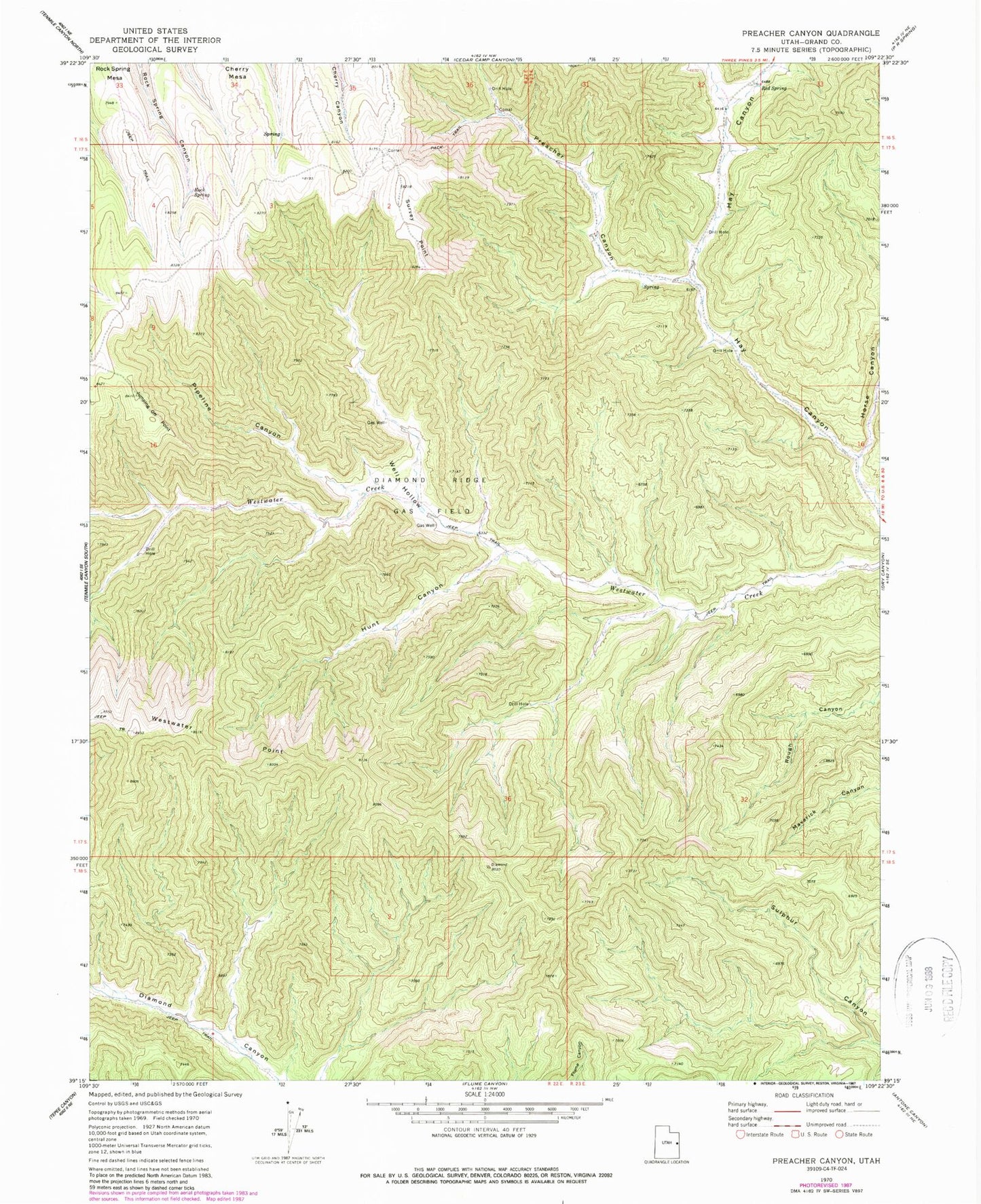
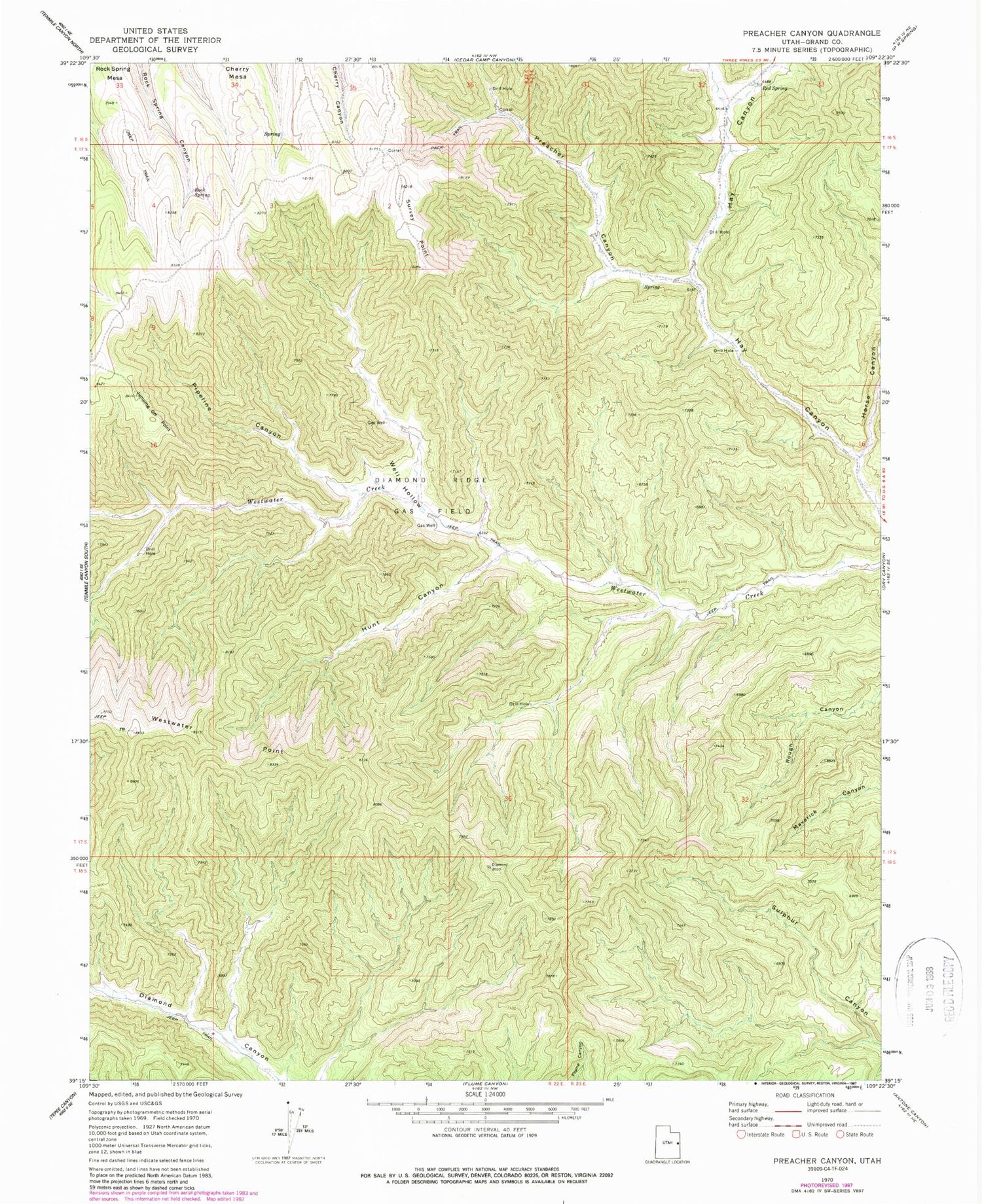
Historical USGS topographic quad map of Preacher Canyon in the state of Utah. Map scale may vary for some years, but is generally around 1:24,000. Print size is approximately 24" x 27"
This quadrangle is in the following counties: Grand.
The map contains contour lines, roads, rivers, towns, and lakes. Printed on high-quality waterproof paper with UV fade-resistant inks, and shipped rolled.
Contains the following named places: Diamond Ridge Gas Field, Horse Canyon, Hunt Canyon, Jumping Off Point, Pipeline Canyon, Preacher Canyon, Red Spring, Rock Spring, Survey Point, Well Hollow, Westwater Point