MyTopo
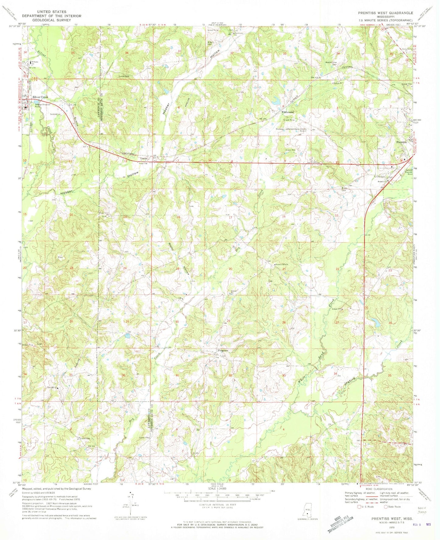
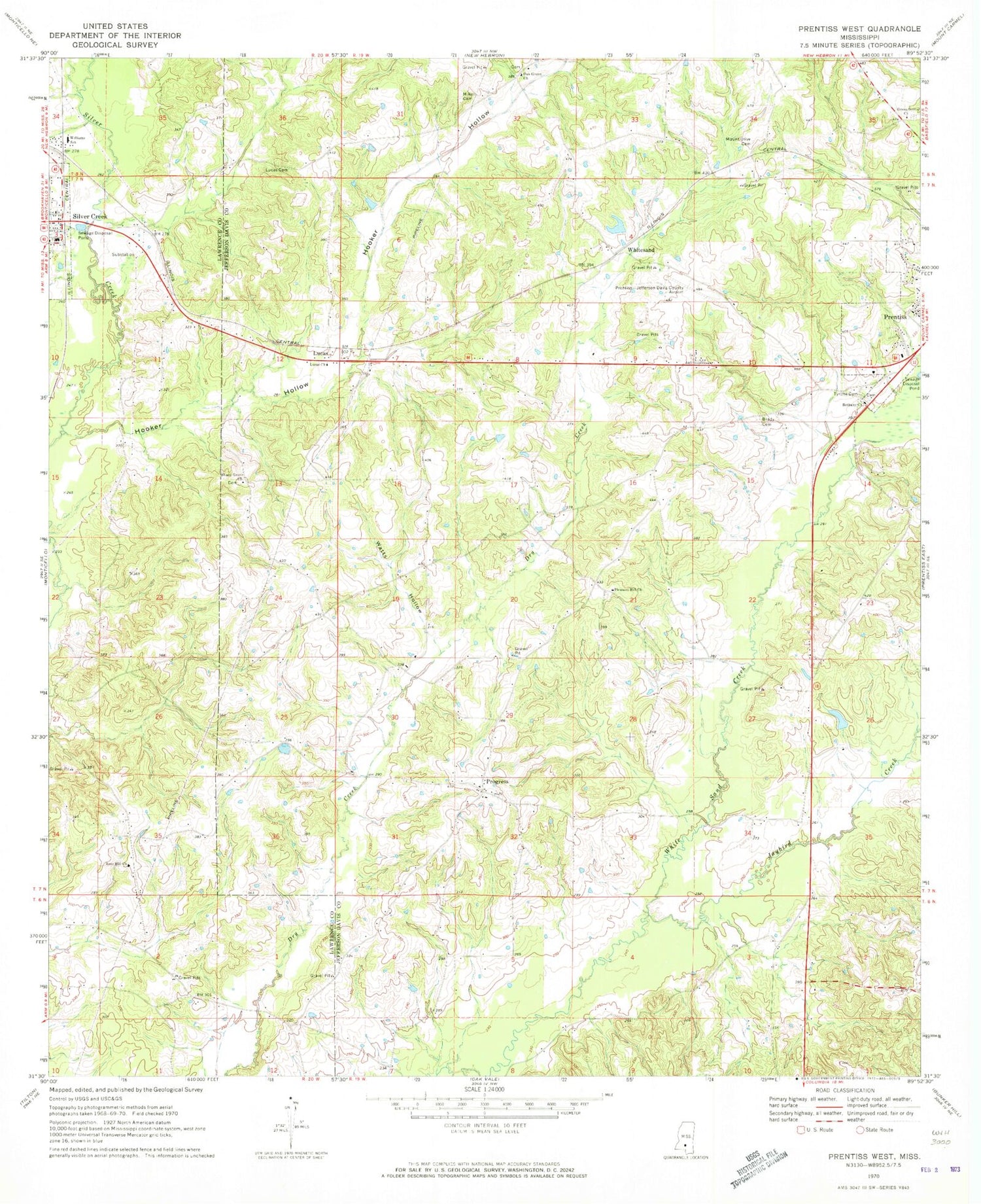
Classic USGS Prentiss West Mississippi 7.5'x7.5' Topo Map
Couldn't load pickup availability
Historical USGS topographic quad map of Prentiss West in the state of Mississippi. Map scale may vary for some years, but is generally around 1:24,000. Print size is approximately 24" x 27"
This quadrangle is in the following counties: Jefferson Davis, Lawrence.
The map contains contour lines, roads, rivers, towns, and lakes. Printed on high-quality waterproof paper with UV fade-resistant inks, and shipped rolled.
Contains the following named places: Armstrong Cemetery, Bethany Baptist Church, Bethany Cemetery, Beulah Williams Elementary School, Brady Cemetery, Bullock Cemetery, Burkett Cemetery, Butler Cemetery, Cole Cemetery, Dry Creek School, Green Grove Cemetery, Green Grove Church, Highway 84 West Fire Department, Highway 84 West Fire Department Station 1 Headquarters, Hooker Hollow, Hooker Hollow Creek, Jaybird Creek, Legions Lake Dam, Lucas, Lucas Cemetery, Lucas Church, Lucas School, Mikell Cemetery, Mount Olive Cemetery, Nelda Rankin Lake Dam, Nichols Cemetery, Oak Grove Cemetery, Oak Grove Church, Oak Ridge School, Oatis Cemetery, Patterson-Garner-Loftin Cemetery, Pleasant Hill Church, Polk Cemetery, Prentiss Christian School, Prentiss Fire Department, Prentiss Lagoon Dam, Prentiss-Jefferson Davis County Airport, Progress, Progress Cemetery, Progress School, Rose Hill Church, Shady Grove Cemetery, Shady Grove Church, Silver Creek, Silver Creek Attendance Center, Silver Creek Post Office, Silver Creek Volunteer Fire and Rescue Department, South Pleasant Hill Cemetery, Speights Cemetery, Stamps Cemetery, Supervisor District 1, Taylor Cemetery, Tyrone Cemetery, Watts Hollow, Weathersbys Box, White Sand School, Whitesand


