MyTopo
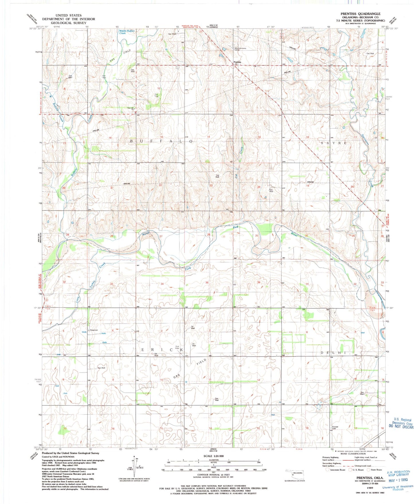
Classic USGS Prentiss Oklahoma 7.5'x7.5' Topo Map
Couldn't load pickup availability
Historical USGS topographic quad map of Prentiss in the state of Oklahoma. Map scale may vary for some years, but is generally around 1:24,000. Print size is approximately 24" x 27"
This quadrangle is in the following counties: Beckham.
The map contains contour lines, roads, rivers, towns, and lakes. Printed on high-quality waterproof paper with UV fade-resistant inks, and shipped rolled.
Contains the following named places: Buffalo Creek, Bulo Community Center, Cat Creek, Erick Gas Field, Gyp Creek Site 2 Dam, Gyp Creek Site 2 Reservoir, Little Turkey Creek, Mayfield NE Gas Field, Middle Buffalo Creek, New Liberty SW Gas Field, New Life Church, Pioneer Cemetery, Prentiss, Starvation Creek, West Buffalo Creek