MyTopo
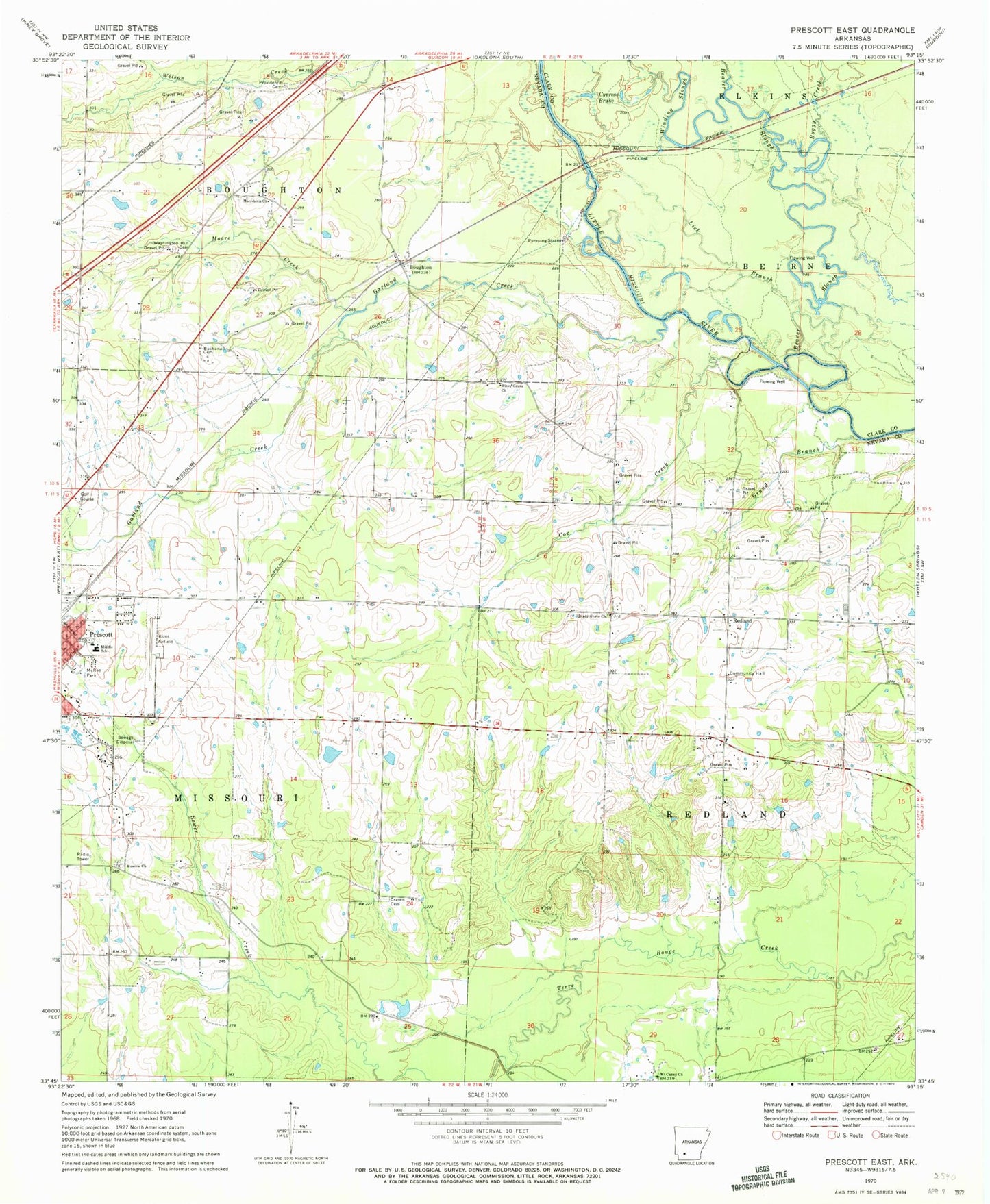
Classic USGS Prescott East Arkansas 7.5'x7.5' Topo Map
Couldn't load pickup availability
Historical USGS topographic quad map of Prescott East in the state of Arkansas. Map scale may vary for some years, but is generally around 1:24,000. Print size is approximately 24" x 27"
This quadrangle is in the following counties: Clark, Nevada.
The map contains contour lines, roads, rivers, towns, and lakes. Printed on high-quality waterproof paper with UV fade-resistant inks, and shipped rolled.
Contains the following named places: Beaver Slough, Boggy Creek, Boughton, Boughton Baptist Church, Boughton School, Britt, Buchanan Cemetery, Cecil School, Center School, Cox Creek, Craven Cemetery, Craving Church, Cypress Brake, Garland Creek, Grand Branch, Heathlake Dam, Heathlake Reservoir, Kizer Field, Liberty Cemetery, Liberty Church, Liberty School, Lick Branch, Macedonia Church, McRae Park, Moore Creek, Moscow Church, Moscow Church Cemetery, Mount Caney Church, New Union School, Piney Grove Cemetery, Piney Grove Church, Prescott Middle School, Providence Cemetery, Redland, Redland Fire Department, Shady Grove Church, Shady Grove Church Cemetery, Washington Hill Cemetery, Winding Slough, ZIP Code: 71857


