MyTopo
Classic USGS Prescott Valley North Arizona 7.5'x7.5' Topo Map
Regular price
$16.95
Regular price
Sale price
$16.95
Unit price
per
Couldn't load pickup availability
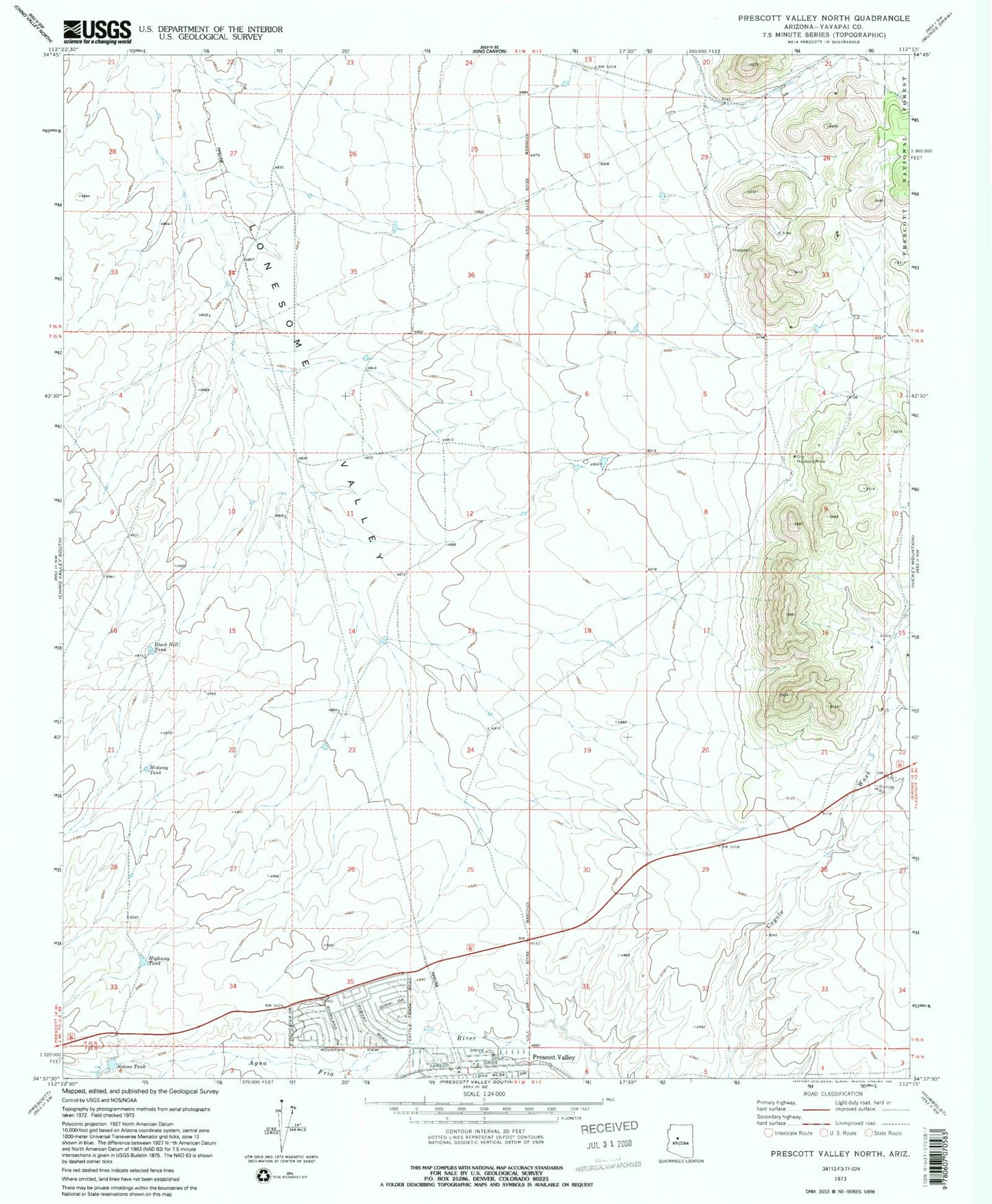
Historical USGS topographic quad map of Prescott Valley North in the state of Arizona. Typical map scale is 1:24,000, but may vary for certain years, if available. Print size: 24" x 27"
This quadrangle is in the following counties: Yavapai.
The map contains contour lines, roads, rivers, towns, and lakes. Printed on high-quality waterproof paper with UV fade-resistant inks, and shipped rolled.
Contains the following named places: Black Hill Tank, Highway Tank, Midway Tank, Nelson Tank, Old Hopkins Mine, KLKY-AM (Prescott), Versatile Heliport, Coyote Springs Elementary School, Landmark Baptist Church, Living Faith Church, Central Yavapai Fire District Station 59