MyTopo
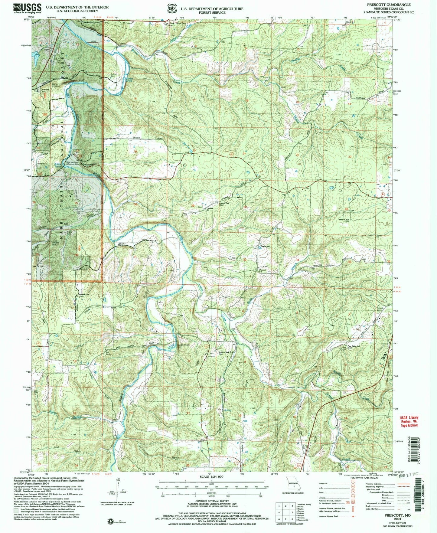
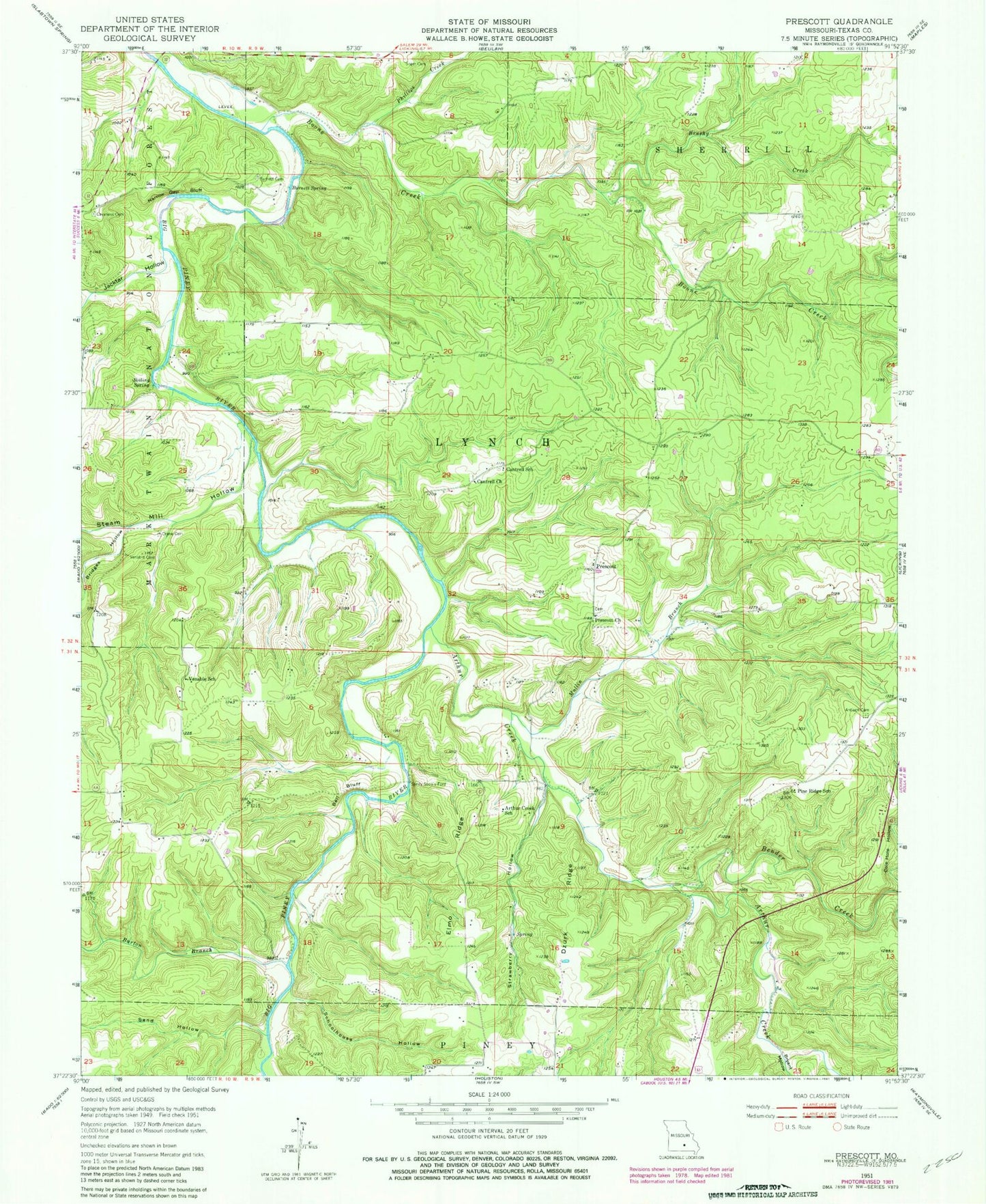
Classic USGS Prescott Missouri 7.5'x7.5' Topo Map
Couldn't load pickup availability
Historical USGS topographic quad map of Prescott in the state of Missouri. Typical map scale is 1:24,000, but may vary for certain years, if available. Print size: 24" x 27"
This quadrangle is in the following counties: Texas.
The map contains contour lines, roads, rivers, towns, and lakes. Printed on high-quality waterproof paper with UV fade-resistant inks, and shipped rolled.
Contains the following named places: Raftville (historical), Venable, Antioch Cemetery, Arthur Creek, Arthur Creek School, Bell Bluff, Bender Creek, Boiling Spring, Boone Creek, Bridges Hollow, Brushy Creek, Bryant Hollow, Burnett Cemetery, Burnett Spring, Burton Branch, Cantrell Church, Cantrell School, Cavaness Cemetery, Crane Cemetery, Dzurk Ridge, Elmo Ridge, Jacktar Hollow, Mullin Branch, Narrow Gap Bluff, North Jacktar Hollow, Phillips Creek, Pine Grove School, Pine Ridge School, Prescott, Prescott Church, Sand Hollow, Sandy Shoals Ford, Schoolhouse Hollow, Sliger Cemetery, South Jacktar Hollow, Steam Mill Hollow, Strawberry Hollow, Venable School, Whitlock School, Piney Bend Airport, Township of Lynch, Taus River Ranch Airport (historical)


