MyTopo
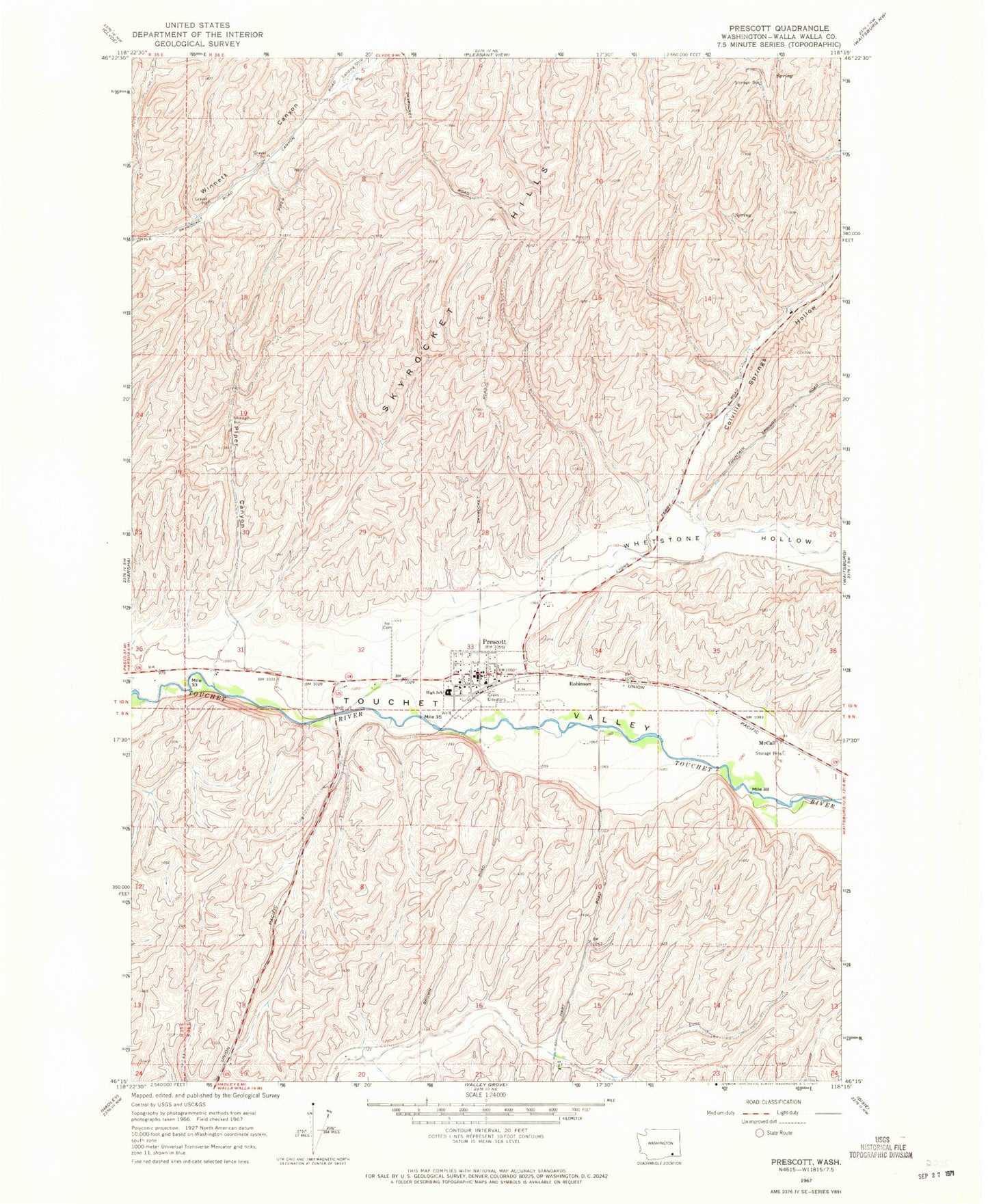
Classic USGS Prescott Washington 7.5'x7.5' Topo Map
Couldn't load pickup availability
Historical USGS topographic quad map of Prescott in the state of Washington. Map scale may vary for some years, but is generally around 1:24,000. Print size is approximately 24" x 27"
This quadrangle is in the following counties: Walla Walla.
The map contains contour lines, roads, rivers, towns, and lakes. Printed on high-quality waterproof paper with UV fade-resistant inks, and shipped rolled.
Contains the following named places: City of Prescott, Colville Springs Hollow, Ivy Cemetery, McCall, McKay Creek, Piper Canyon, Prescott, Prescott Elementary School, Prescott Junior Senior High School, Prescott Post Office, Robinson, Skyrocket Hills, Walla Walla County Fire District 7, Whetstone Creek, Whetstone Hollow