MyTopo
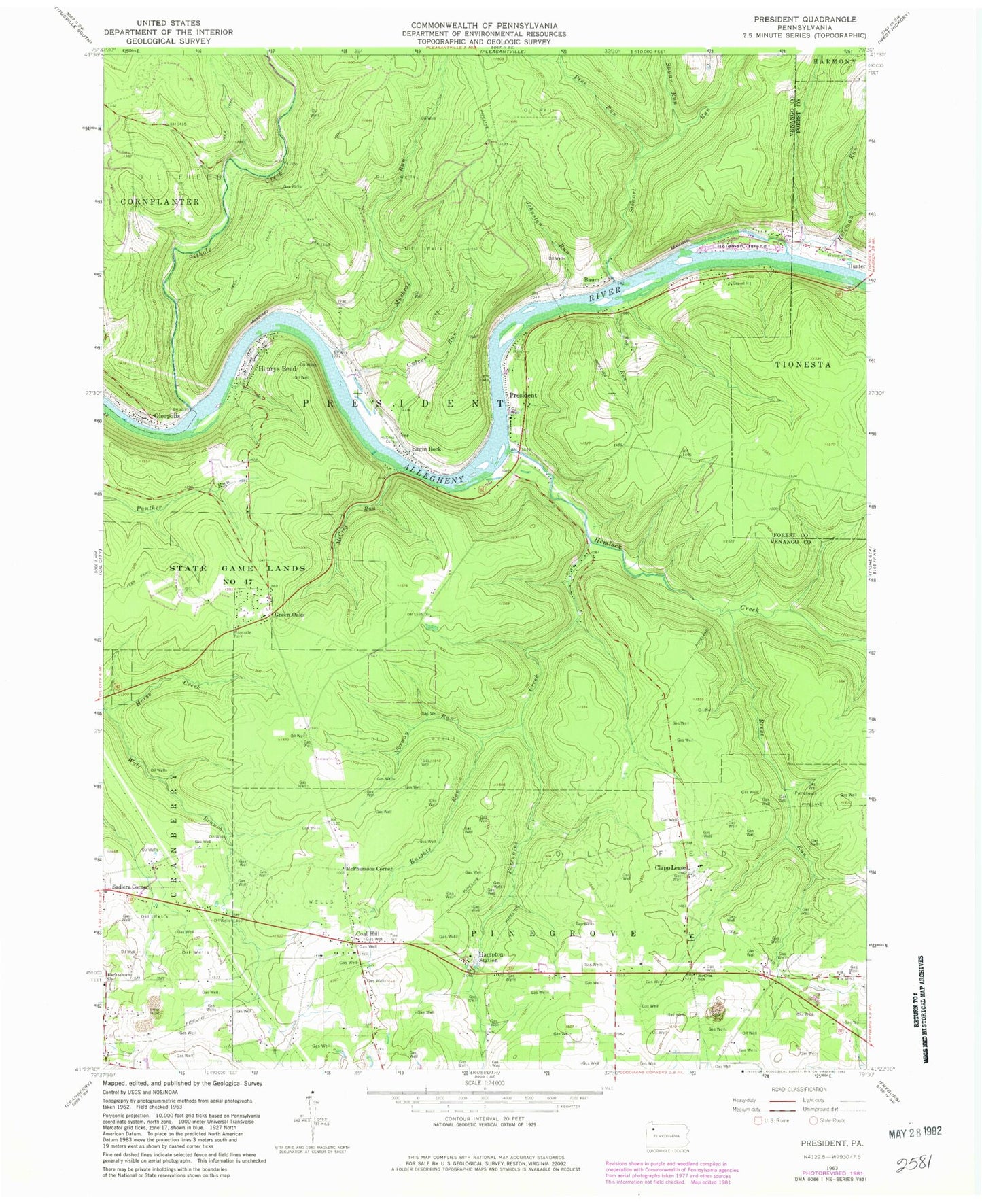
Classic USGS President Pennsylvania 7.5'x7.5' Topo Map
Couldn't load pickup availability
Historical USGS topographic quad map of President in the state of Pennsylvania. Typical map scale is 1:24,000, but may vary for certain years, if available. Print size: 24" x 27"
This quadrangle is in the following counties: Forest, Venango.
The map contains contour lines, roads, rivers, towns, and lakes. Printed on high-quality waterproof paper with UV fade-resistant inks, and shipped rolled.
Contains the following named places: Clapp Lease, Coal Hill, Culver Run, Eagle Rock, Fox Run, Green Oaks, Hampton Station, Heckathorn Church, Hemlock Creek, Henrys Bend, Holeman Cemetery, Holeman Island, Holeman Run, Johnson Run, Knights Run, McCrea Cemetery, McCrea Run, McCrea School, Norway Run, Oleopolis, Pine Run, President, Reese Run, Sadlers Corner, State Game Lands Number 47, Sugar Run, Muskrat Run, Porcupine Creek, McCalmont School, Eagle Rock School, Gilson School, McPhersons Corner, State Game Lands Number 253, Pithole Creek, Stewart Run, President Post Office (historical), Township of President, Henrys Bend Post Office (historical), Pinegrove Township Volunteer Fire Department, President Township Volunteer Fire Department


