MyTopo
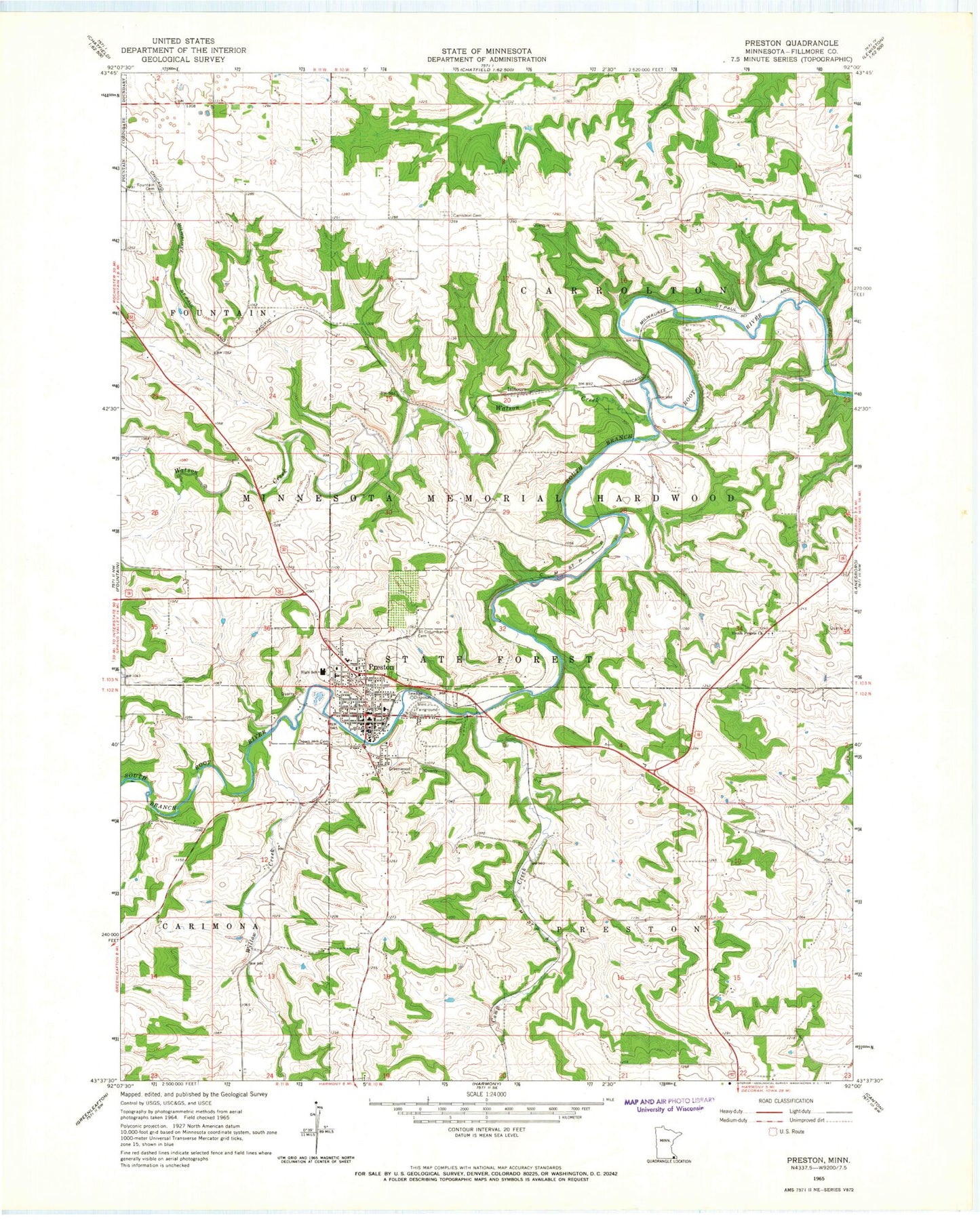
Classic USGS Preston Minnesota 7.5'x7.5' Topo Map
Couldn't load pickup availability
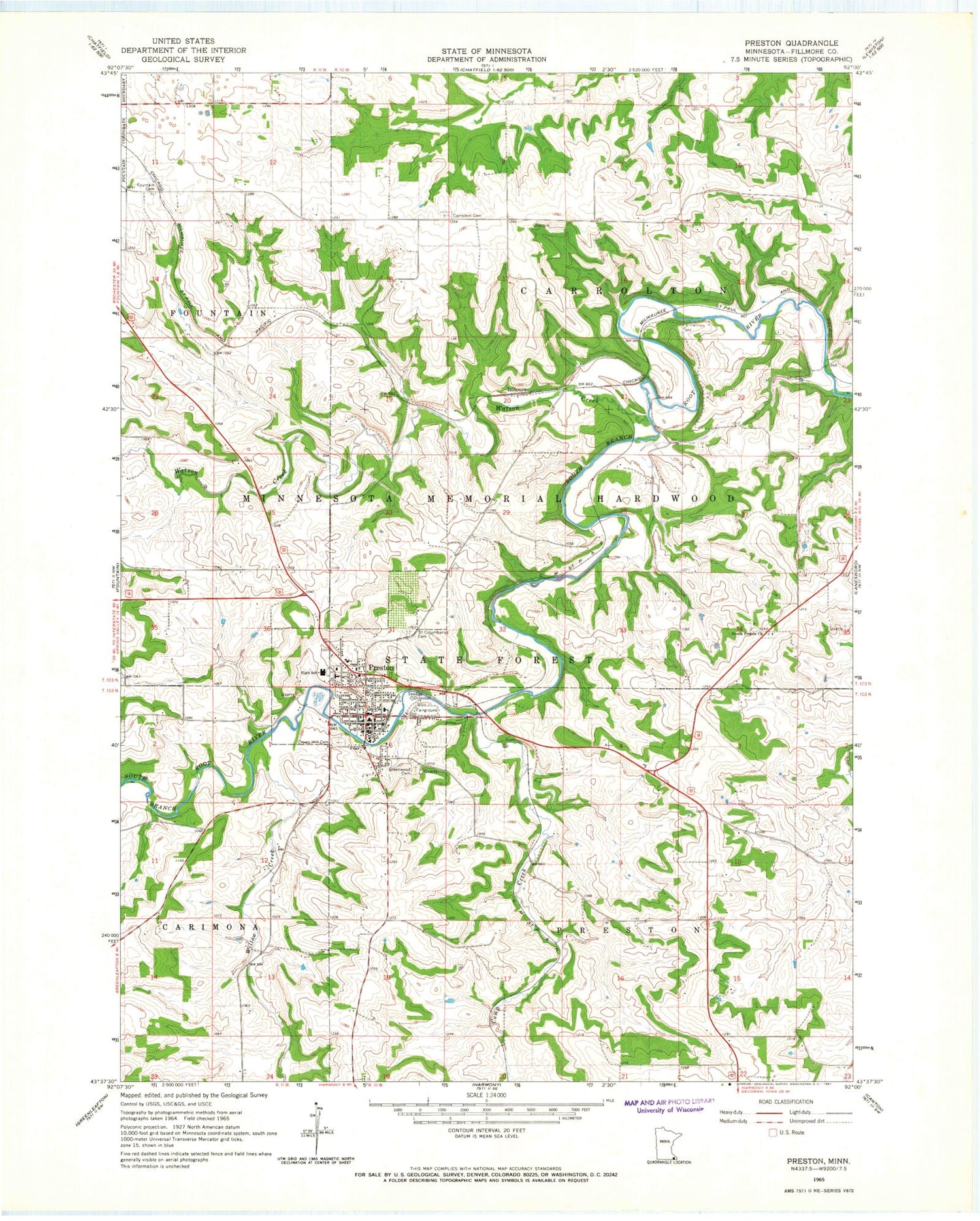
Historical USGS topographic quad map of Preston in the state of Minnesota. Map scale may vary for some years, but is generally around 1:24,000. Print size is approximately 24" x 27"
This quadrangle is in the following counties: Fillmore.
The map contains contour lines, roads, rivers, towns, and lakes. Printed on high-quality waterproof paper with UV fade-resistant inks, and shipped rolled.
Contains the following named places: Camp Creek, Carrolton Cemetery, Christ Lutheran Church, City of Preston, Crown Hill Cemetery, Divine Word Evangelical Lutheran Church, East Willow Creek Dam, Fillmore Central School, Fillmore County, Fillmore County Courthouse, Fillmore County Fairgrounds, Fillmore County Jail, Fillmore County Road 21 Dam, Fillmore County Sheriff's Office, First Baptist Church, Fountain Cemetery, Gale Cemetery, Greenwood Cemetery, High Grove Airport, Isinours, Isinours Post Office, New Horizons Mobile Home Park, Old Barn Resort, Olmsted Medical Center, Peddlers Roast Campground, Pine Tree Apple Orchards, Preston, Preston Apple and Berry Farm, Preston Fire Department, Preston Golf and Country Club, Preston Good Samaritan Center, Preston Mobile Home Park, Preston Overlook, Preston Police Department, Preston Post Office, Preston Public Library, Preston United Methodist Church, Richland Prairie Presbyterian Cemetery, Ross Graves Dam, Saint Columban Church, Saint Columbanus Cemetery, Southeastern Minnesota State Veterans Cemetery, Spring Valley Police Department, The Church of Jesus Christ of Latter Day Saints, Township of Carrolton, Township of Preston, Union Prairie Cemetery, Union Prairie Church, Watson Creek, Willow Creek


