MyTopo
Classic USGS Pretty Butte North Dakota 7.5'x7.5' Topo Map
Regular price
$16.95
Regular price
Sale price
$16.95
Unit price
per
Couldn't load pickup availability
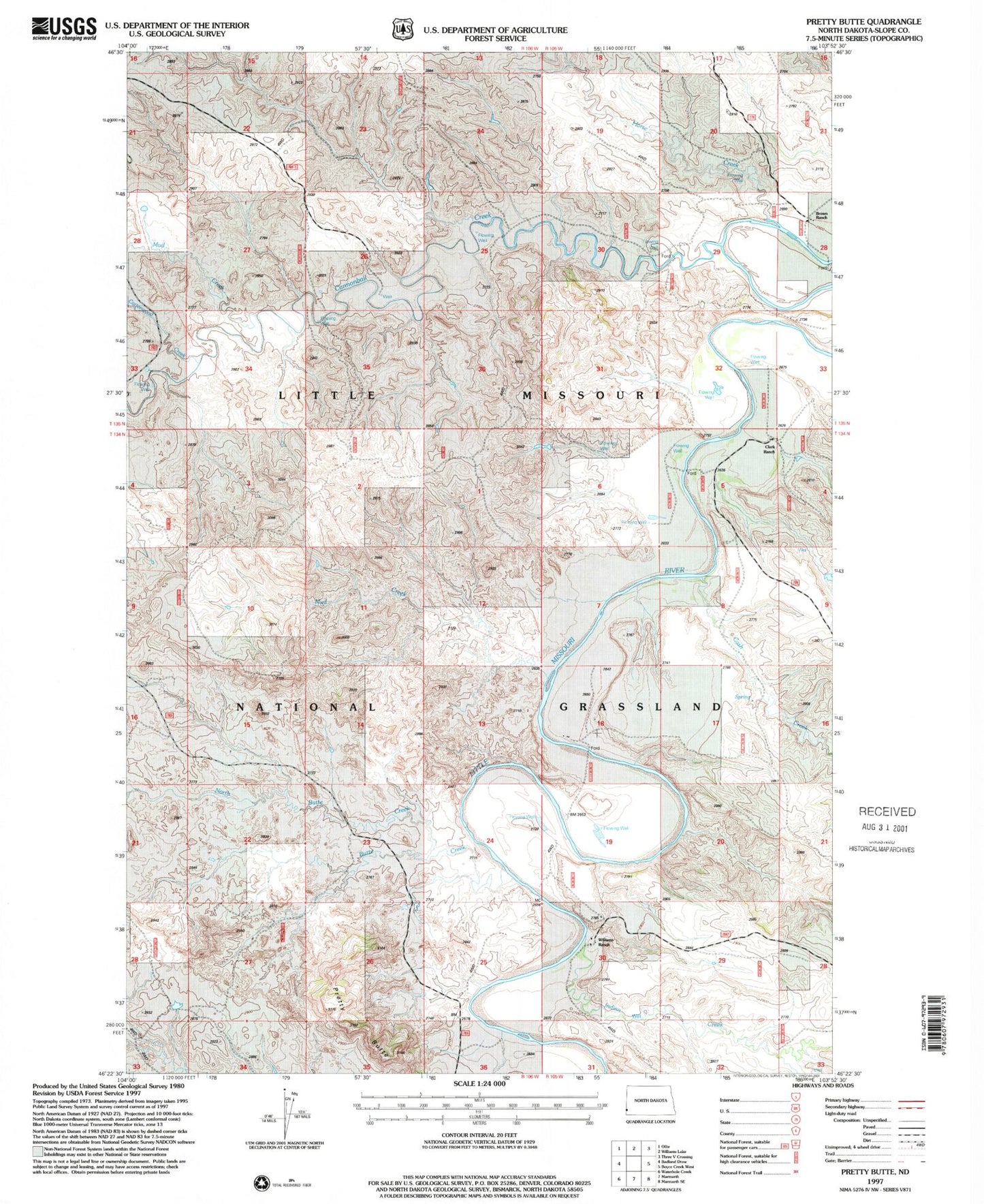
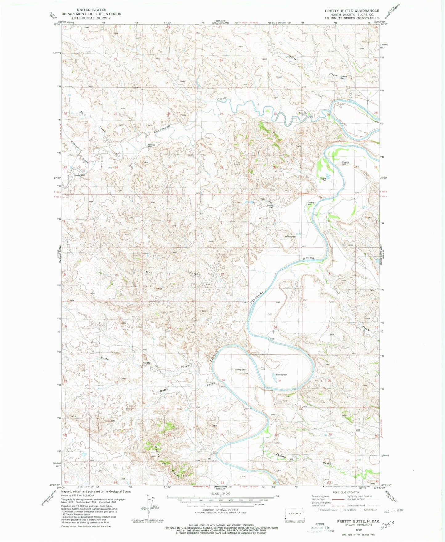
Historical USGS topographic quad map of Pretty Butte in the state of North Dakota. Map scale may vary for some years, but is generally around 1:24,000. Print size is approximately 24" x 27"
This quadrangle is in the following counties: Slope.
The map contains contour lines, roads, rivers, towns, and lakes. Printed on high-quality waterproof paper with UV fade-resistant inks, and shipped rolled.
Contains the following named places: Brown Ranch, Butte Creek, Cannonball Creek, Cash Creek, Clark Ranch, Cottonwood Creek, Horse Creek, Limber Pine Area, Mud Creek, North Butte Creek, Pretty Butte, Unorganized Territory of West Slope