MyTopo
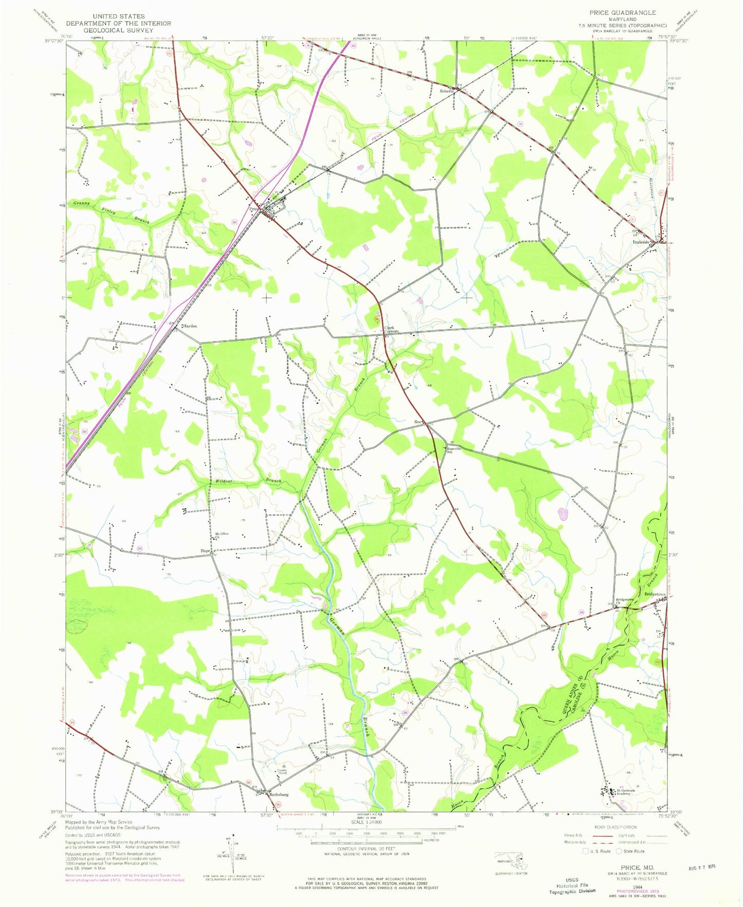
Classic USGS Price Maryland 7.5'x7.5' Topo Map
Couldn't load pickup availability
Historical USGS topographic quad map of Price in the state of Maryland. Map scale may vary for some years, but is generally around 1:24,000. Print size is approximately 24" x 27"
This quadrangle is in the following counties: Caroline, Queen Anne's.
The map contains contour lines, roads, rivers, towns, and lakes. Printed on high-quality waterproof paper with UV fade-resistant inks, and shipped rolled.
Contains the following named places: Apostolic Church of God, Benedictine School, Benedictine School for Exceptional Children, Bethany United Methodist Church, Bridgetown Cemetery, Bridgetown Church, Carter Farms, Clark Corners, Clucktown Bridge, Deans Meadows, District 6 Ruthsburg, Eastern Correctional Camp, Eastern Pre-Release Unit, German Branch Bridge, Hayden, Hope, Ingleside, Ingleside Post Office, Lyn Woods, Lynn Woods, Mason Bridge, Mount Olive Cemetery, Mount Olive Church, Myles Landing, Price, Price Post Office, Queen Annes County Home, Roberts, Rochester Memorial Garden, Roe, Ruthsburg, Saint Gertrude Academy, Saint Gertrudes Convent, Saint Paul United Methodist Church, The Plains, Tuckahoe State Park, Wildcat Branch, ZIP Code: 21623