MyTopo
Classic USGS Price Utah 7.5'x7.5' Topo Map
Couldn't load pickup availability
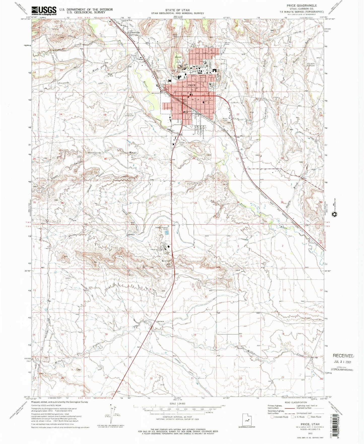
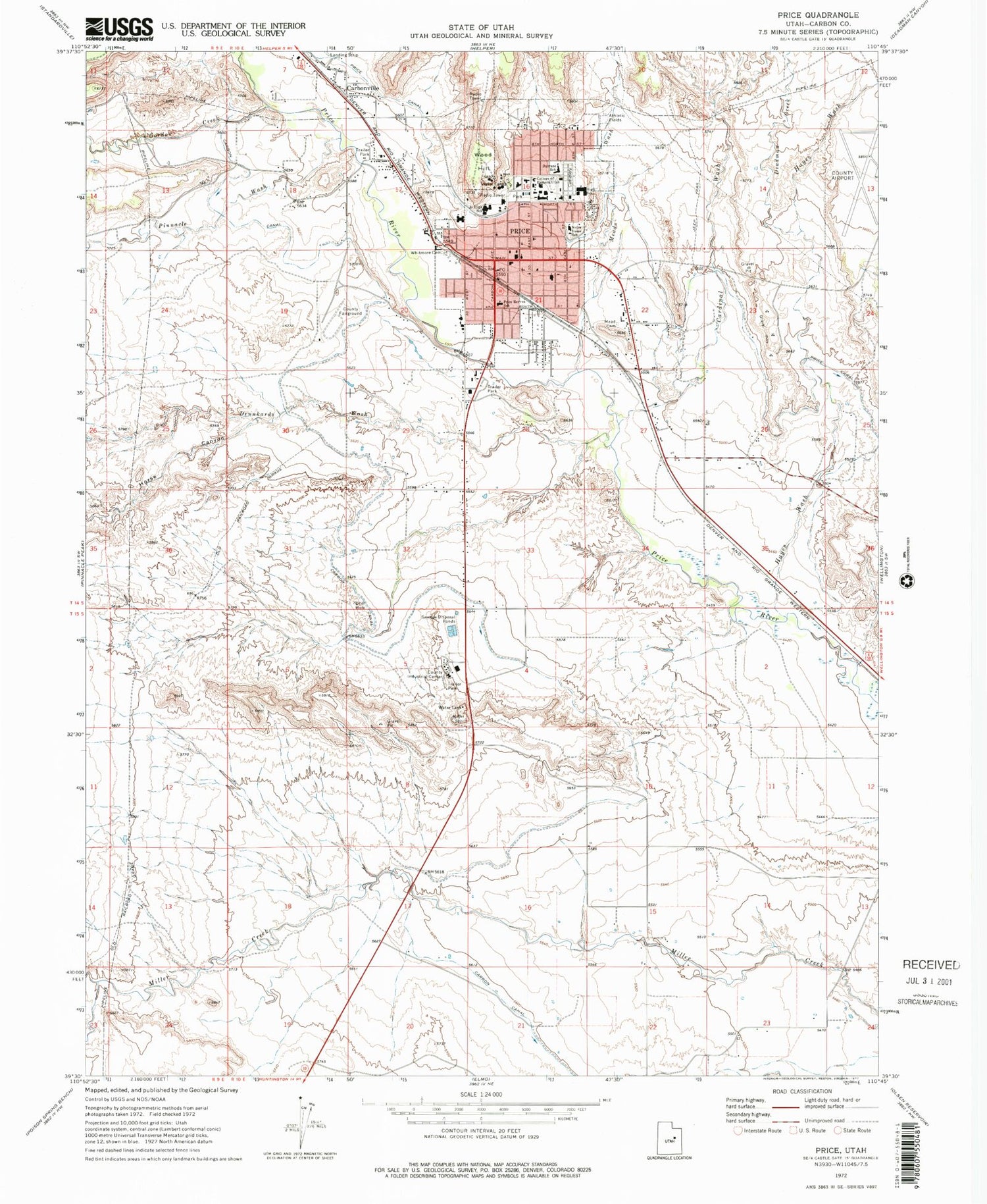
Historical USGS topographic quad map of Price in the state of Utah. Map scale may vary for some years, but is generally around 1:24,000. Print size is approximately 24" x 27"
This quadrangle is in the following counties: Carbon.
The map contains contour lines, roads, rivers, towns, and lakes. Printed on high-quality waterproof paper with UV fade-resistant inks, and shipped rolled.
Contains the following named places: Ascension Lutheran Church, Assembly of God Church, Carbon Canal, Carbon County Ambulance, Carbon County Regional Airport/Buck Davis Field, Carbon County Sheriff's Office, Carbon High School, Carbonville, Cardinal Wash, Castle Heights Elementary School, Castleview Hospital, Castleview Hospital Heliport, City of Price, Cliffview Cemetery, Creekside Elementary School, Deadman Creek, Drunkards Wash, Durrant School, El Rancho Motel and RV Campground, First Baptist Church, Gaylord Siding, Gordon Creek, Grames - Powell Cemetery, Greek Orthodox Church, Hayes Wash, Horse Canyon, KARB-FM (Price), KOAL-AM (Price), KRPX-AM (Price), Meade Cemetery, Meads Wash, Mont Harmon Middle School, Notre Dame Catholic Church, Pinnacle Canyon Academy, Pinnacle Wash, Pioneer Number Two Canal, Price, Price Canal, Price Chapel, Price City Cemetery, Price City Fire Department, Price Division, Price Game Farm, Price Heliport, Price Police Department, Price Post Office, Price Reeves School, Saint Matthews Episcopal Church, Serviceberry Creek, Spanish Assembly of God Church, The Church of Jesus Christ of Latter Day Saints, United Methodist Church, United States Forest Service Fire Station - Price Office, Utah Highway Patrol Section 9 Price Office, Utah State University Eastern, Utah State University Eastern Police Department, West Wood Census Designated Place, Westridge Middle School, Whitmore Cemetery, Wood Hill, ZIP Code: 84501


