MyTopo
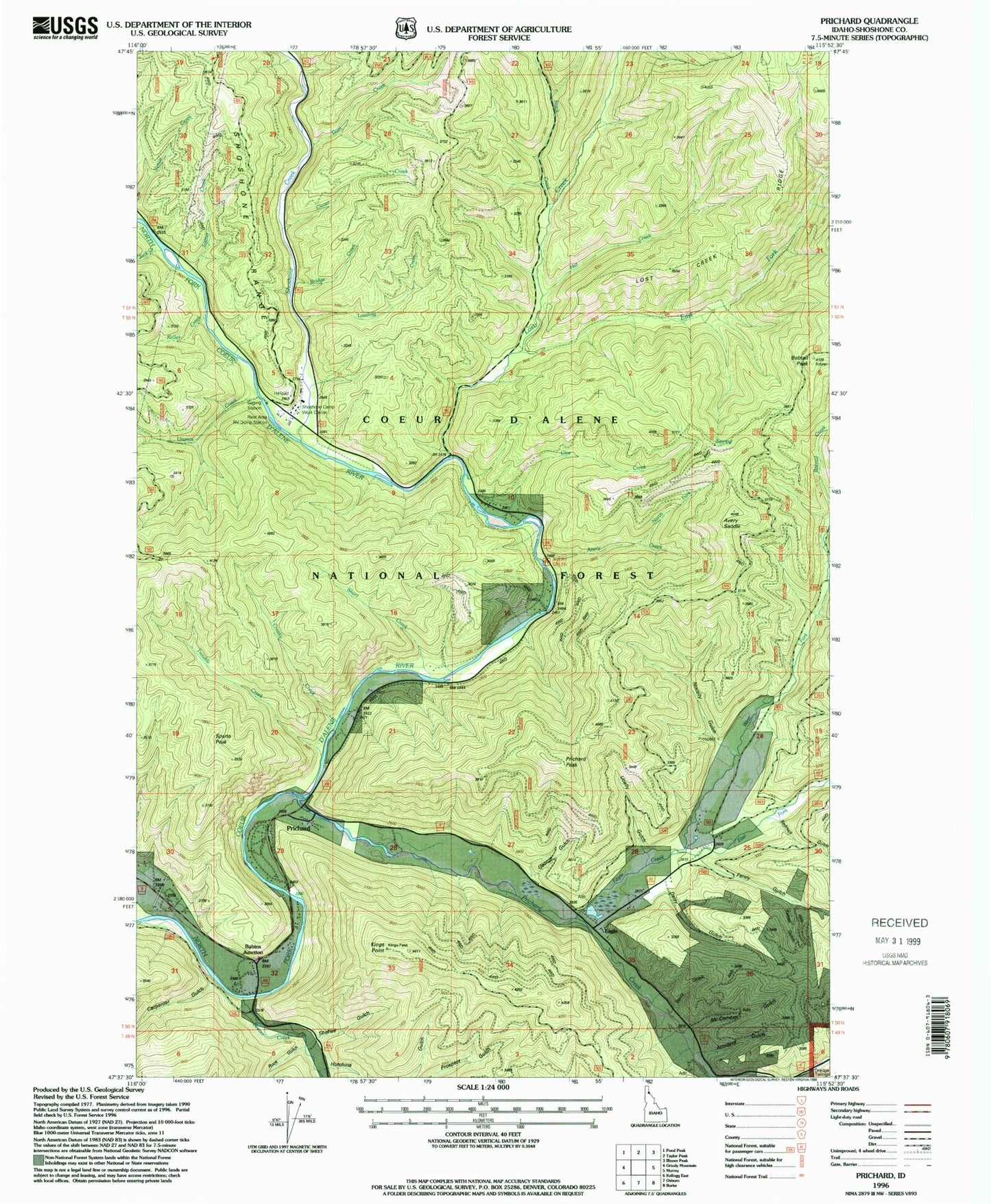
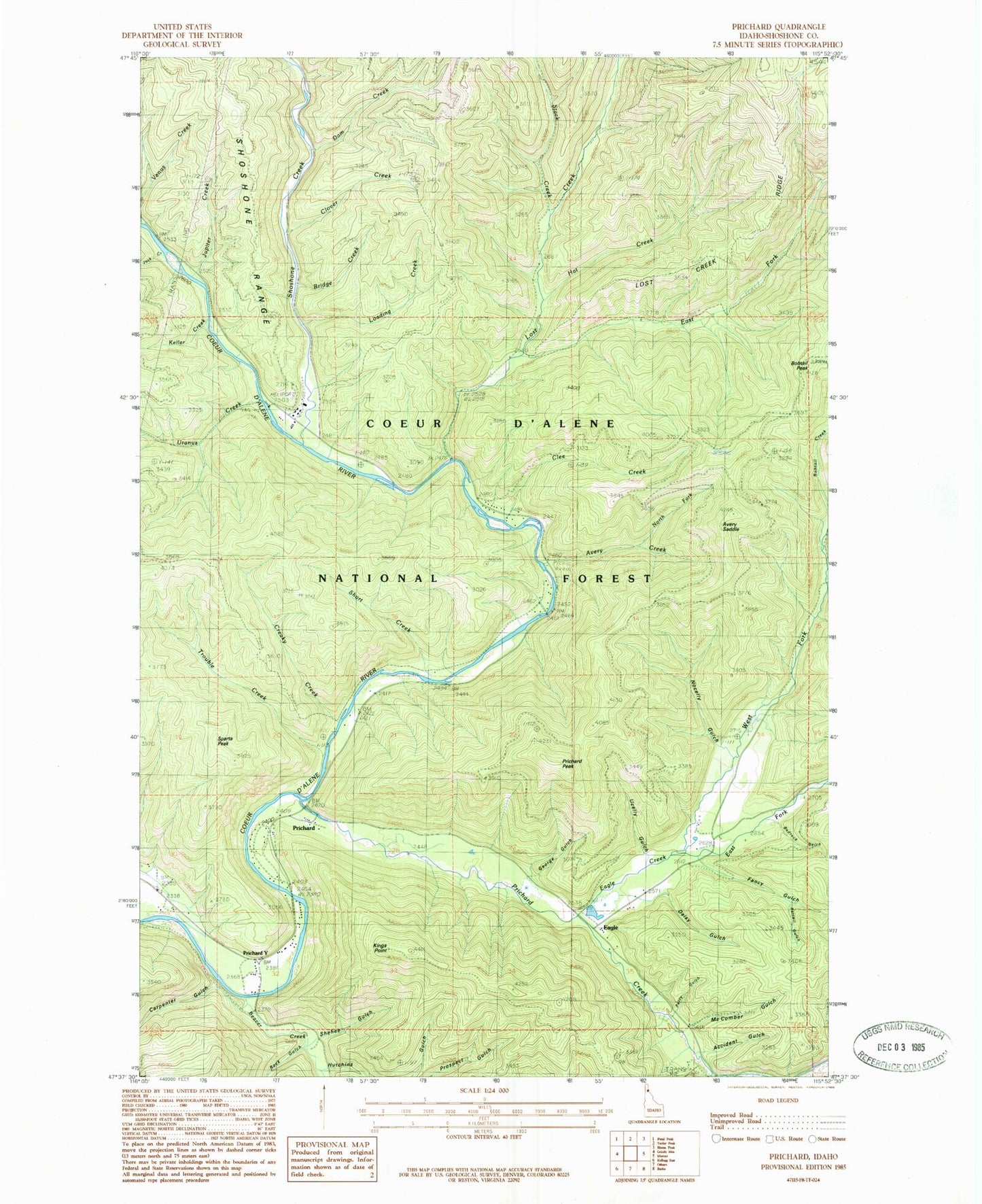
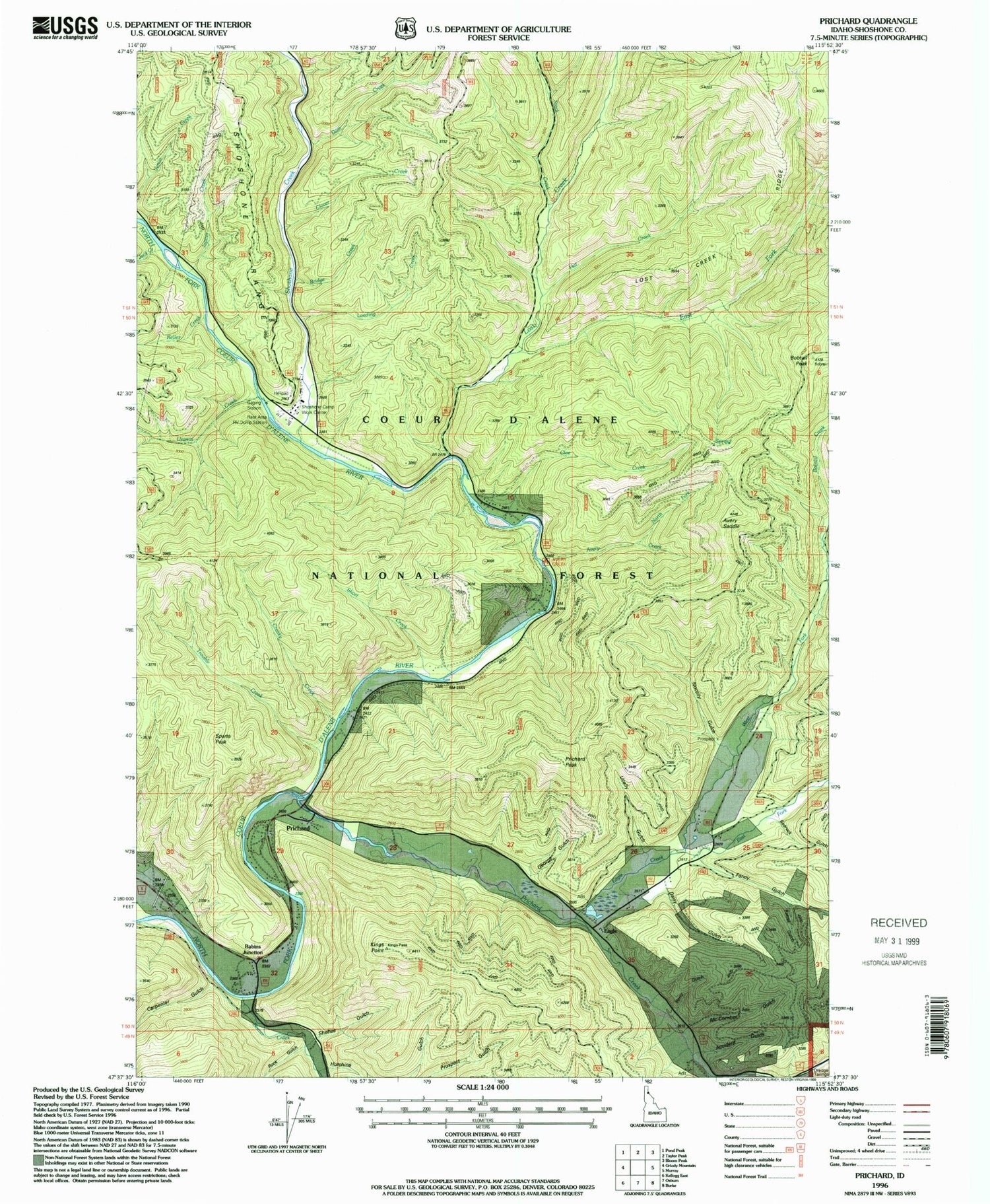
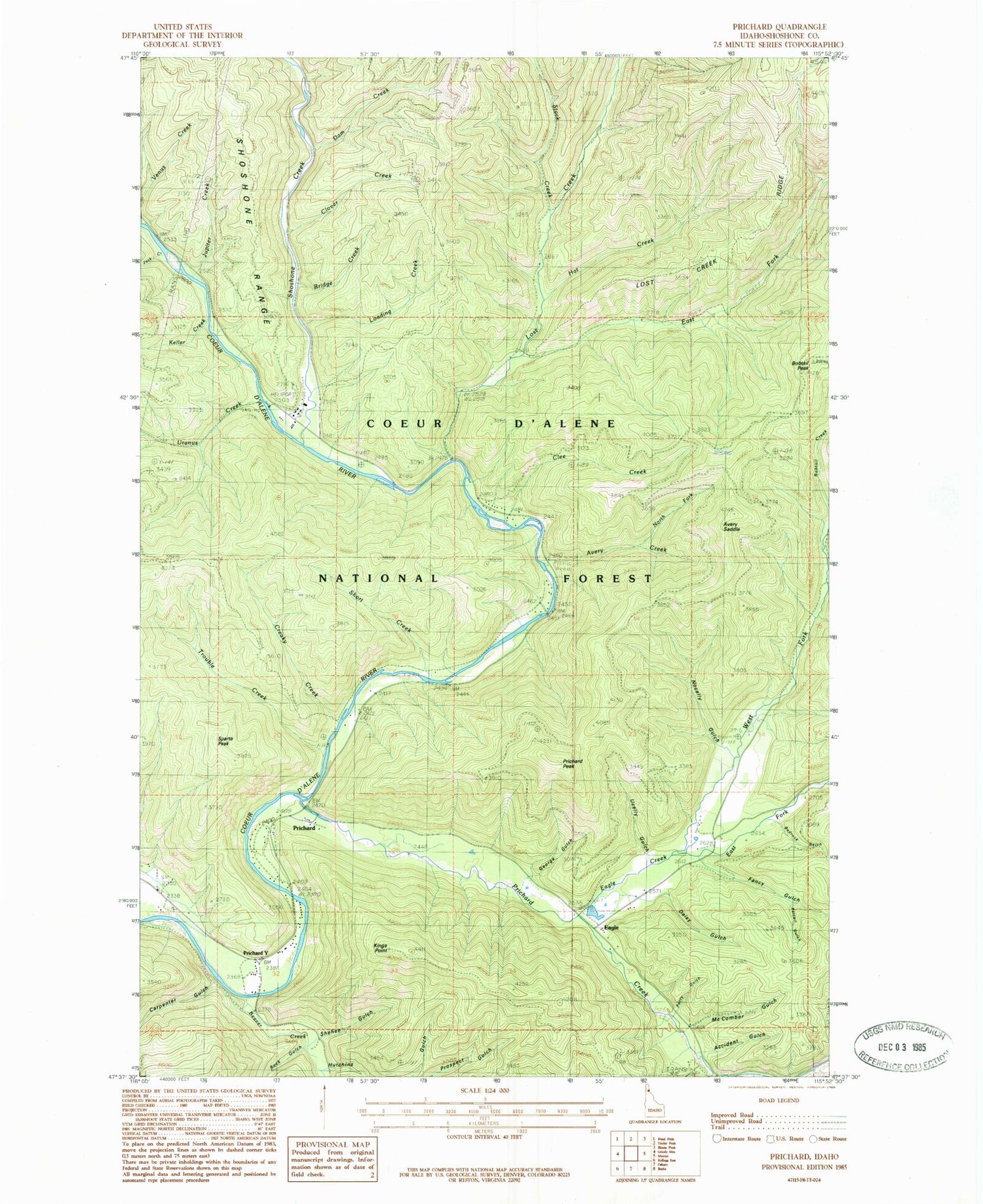
Classic USGS Prichard Idaho 7.5'x7.5' Topo Map
Couldn't load pickup availability
Historical USGS topographic quad map of Prichard in the state of Idaho. Typical map scale is 1:24,000, but may vary for certain years, if available. Print size: 24" x 27"
This quadrangle is in the following counties: Shoshone.
The map contains contour lines, roads, rivers, towns, and lakes. Printed on high-quality waterproof paper with UV fade-resistant inks, and shipped rolled.
Contains the following named places: Prichard, Accident Gulch, Avery Creek, Beaver Creek, Bedrock Gulch, Bobtail Peak, Bridge Creek, Carpenter Gulch, Clee Creek, Creaky Creek, Daisy Gulch, Dam Creek, Eagle Creek, East Fork Eagle Creek, East Fork Lost Creek, Fancy Gulch, George Gulch, Hat Creek, Hutchins Gulch, Jack Creek, Jupiter Creek, Loading Creek, McComber Gulch, Nocelly Gulch, Perry Gulch, Plover Creek, Prichard Creek, Prichard Peak, Ratail Gulch, Rock Gulch, Ruby Gulch, Shehee Gulch, Short Creek, Shoshone Creek, Shoshone Forest Camp, Stack Creek, Trouble Creek, Ucelly Gulch, Uranus Creek, West Fork Eagle Creek, Babins Junction, North Fork Avery Creek, Shoshone Camp Work Center, Avery Creek Picnic Area, Avery Creek Nocelly Gulch Saddle, Avery Saddle, Kings Point, Sparta Peak, Eagle, Shoshone Creek Guard Station, Lost Creek, Keller Creek, Prichard / Murray Volunteer Fire Department


