MyTopo
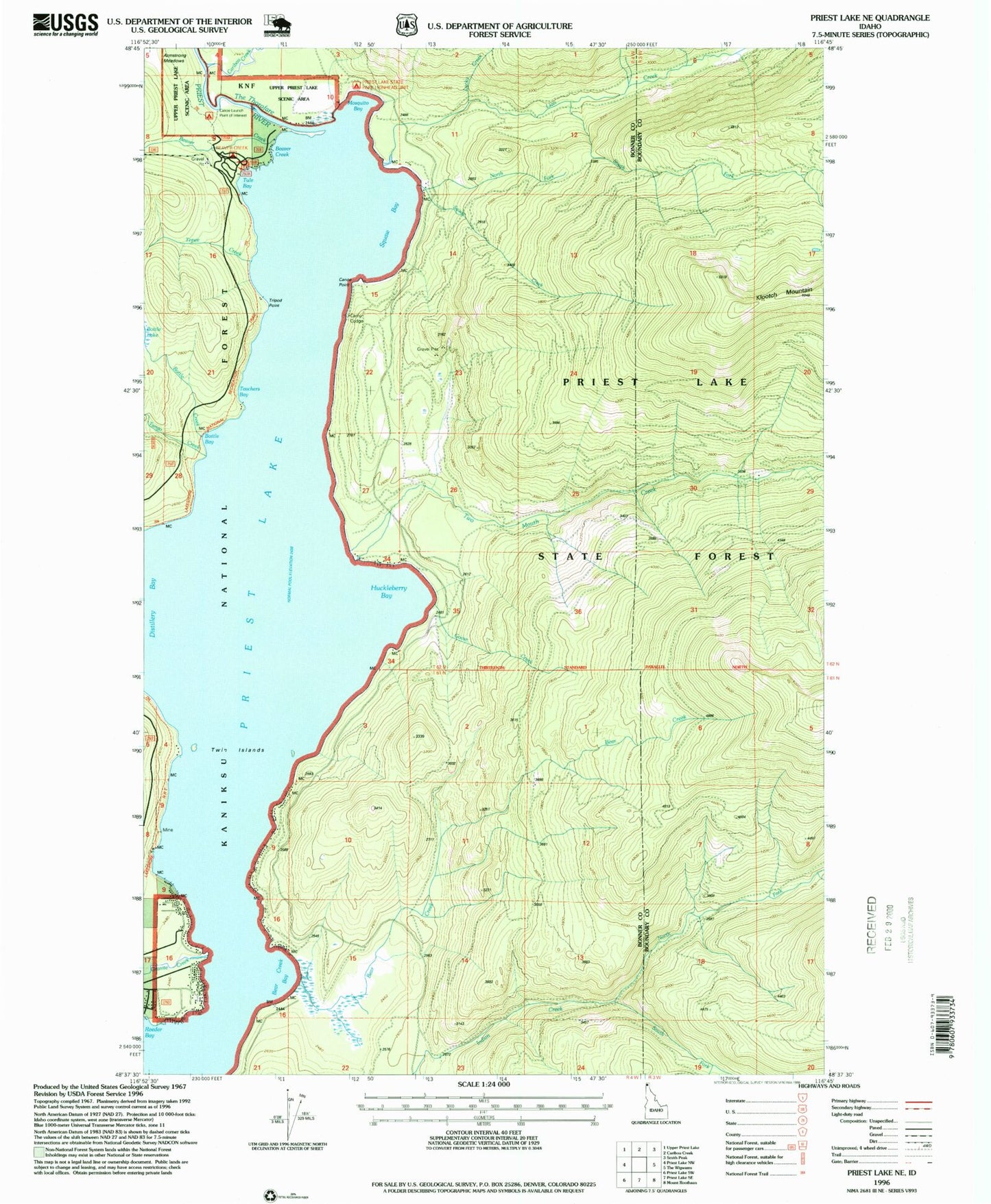
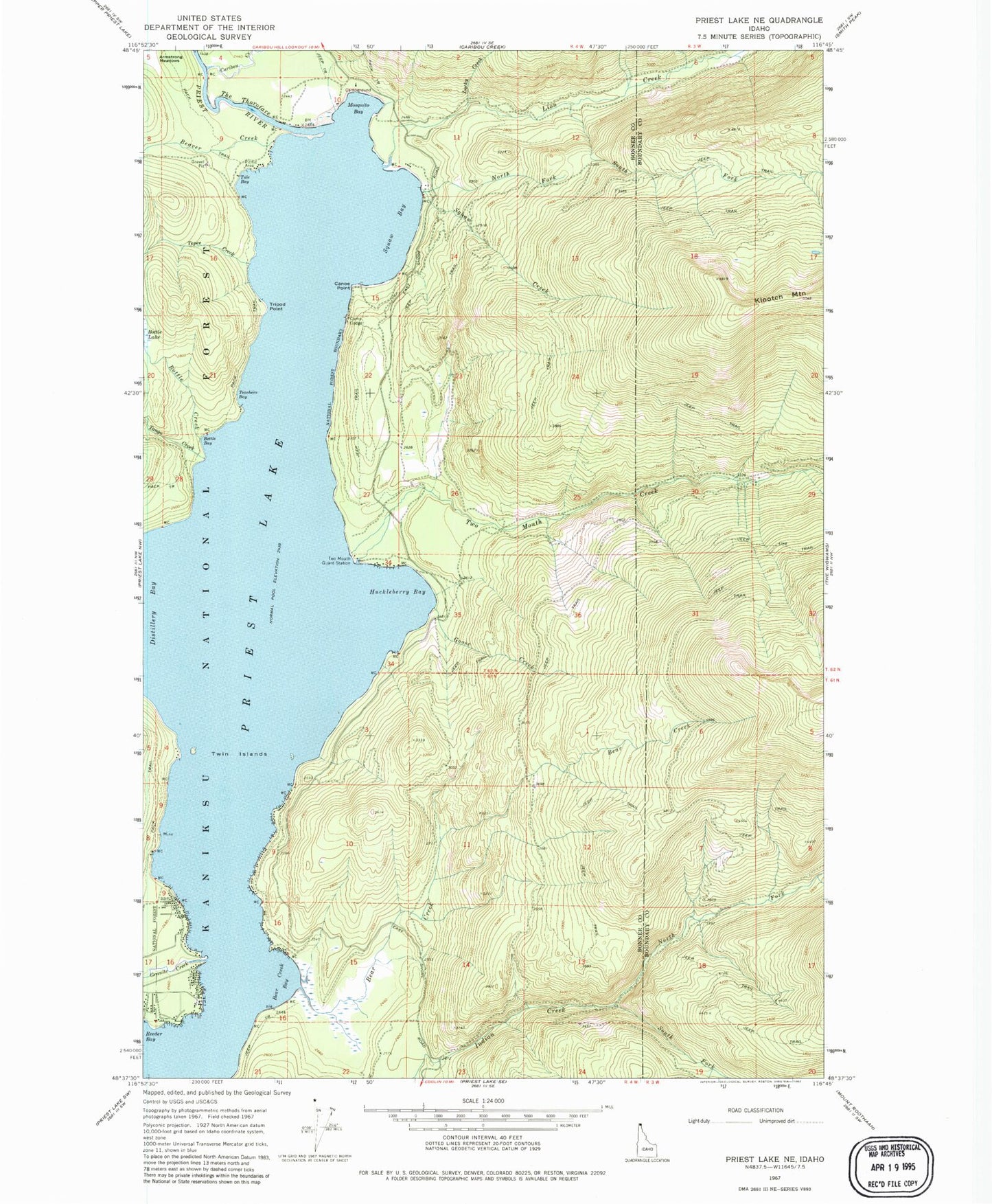
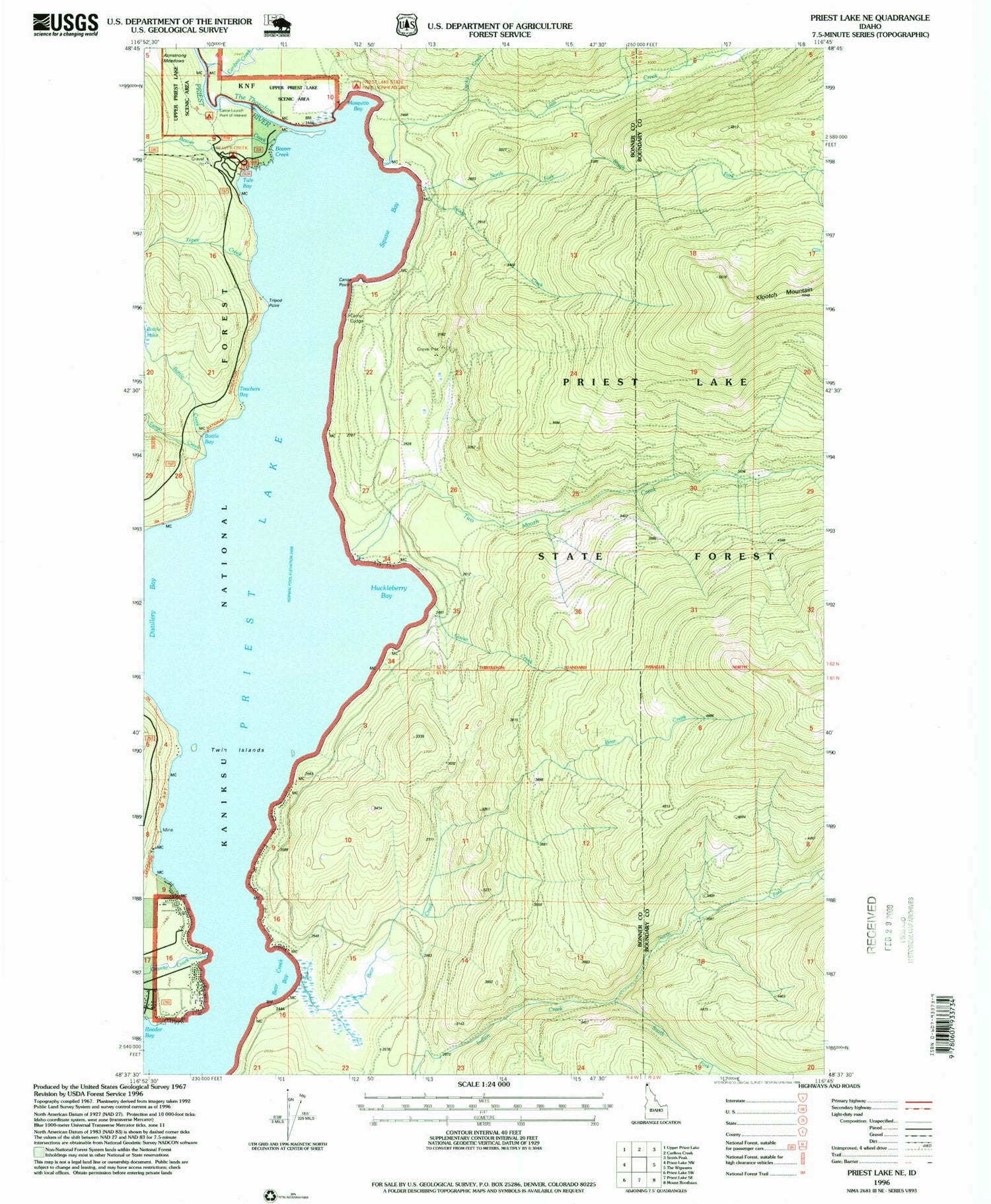
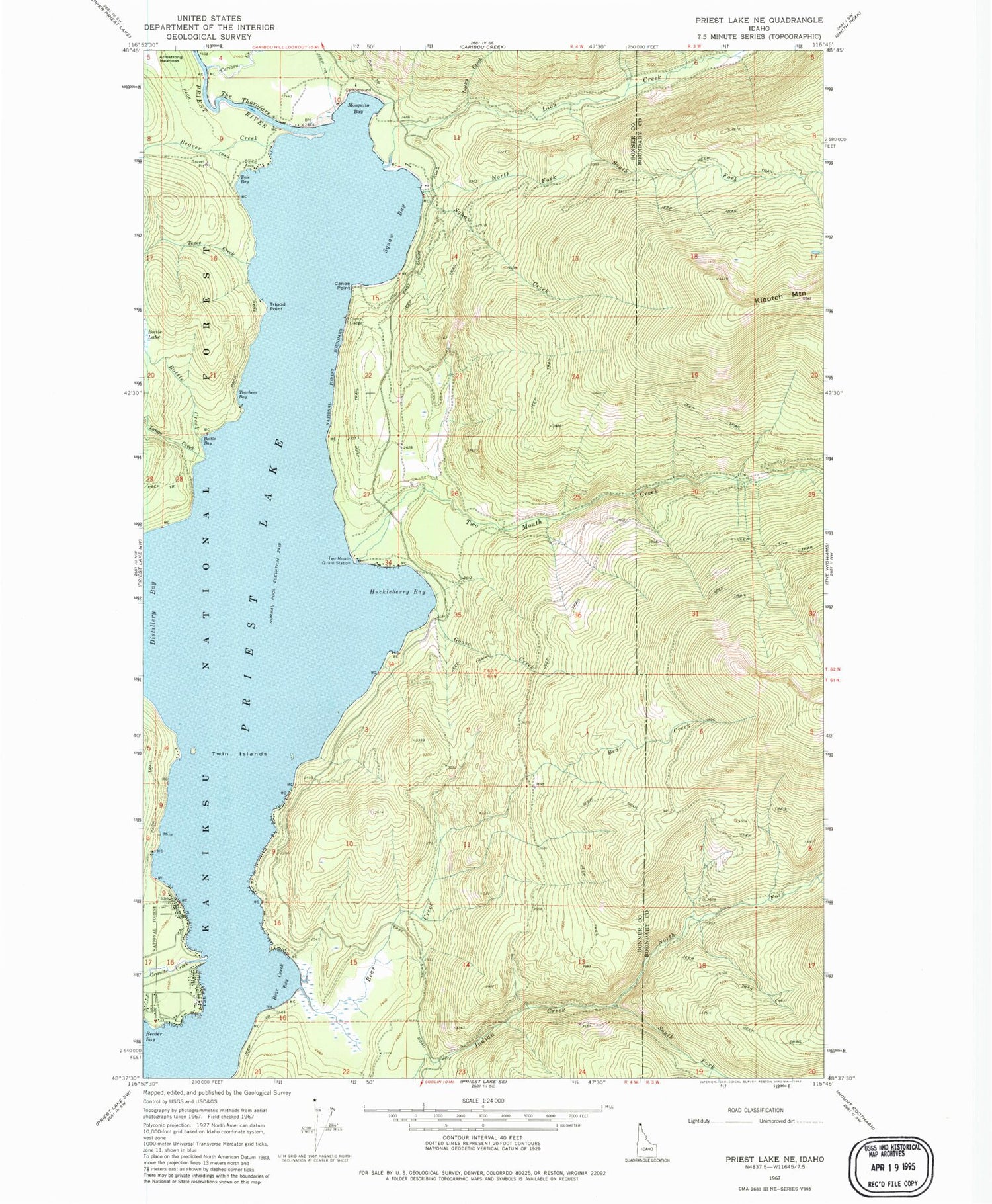
Classic USGS Priest Lake NE Idaho 7.5'x7.5' Topo Map
Couldn't load pickup availability
Historical USGS topographic quad map of Priest Lake NE in the state of Idaho. Typical map scale is 1:24,000, but may vary for certain years, if available. Print size: 24" x 27"
This quadrangle is in the following counties: Bonner, Boundary.
The map contains contour lines, roads, rivers, towns, and lakes. Printed on high-quality waterproof paper with UV fade-resistant inks, and shipped rolled.
Contains the following named places: North Fork Squaw Creek, Bear Creek Bay, Beaver Creek, Bottle Bay, Bottle Creek, Camp Codge, Canoe Point, Caribou Creek, Distillery Bay, Goose Creek, Granite Creek, Huckleberry Bay, Lion Creek, Lucky Creek, Mosquito Bay, North Fork Indian Creek, South Fork Indian Creek, South Fork Lion Creek, Squaw Bay, Squaw Creek, Tango Creek, Teachers Bay, Tepee Creek, The Thorofare, Tripod Point, Tule Bay, Two Mouth Creek, Two Mouth Guard Station, Tepee Creek Research Natural Area, Beaver Creek Recreation Site, Lionhead Recretaion Site, Twin Islands, Priest Lake State Park Lionhead Unit, Klootch Mountain, North of the Narrows Fire District, Bear Creek


