MyTopo
Classic USGS Priest Lake SE Idaho 7.5'x7.5' Topo Map
Couldn't load pickup availability
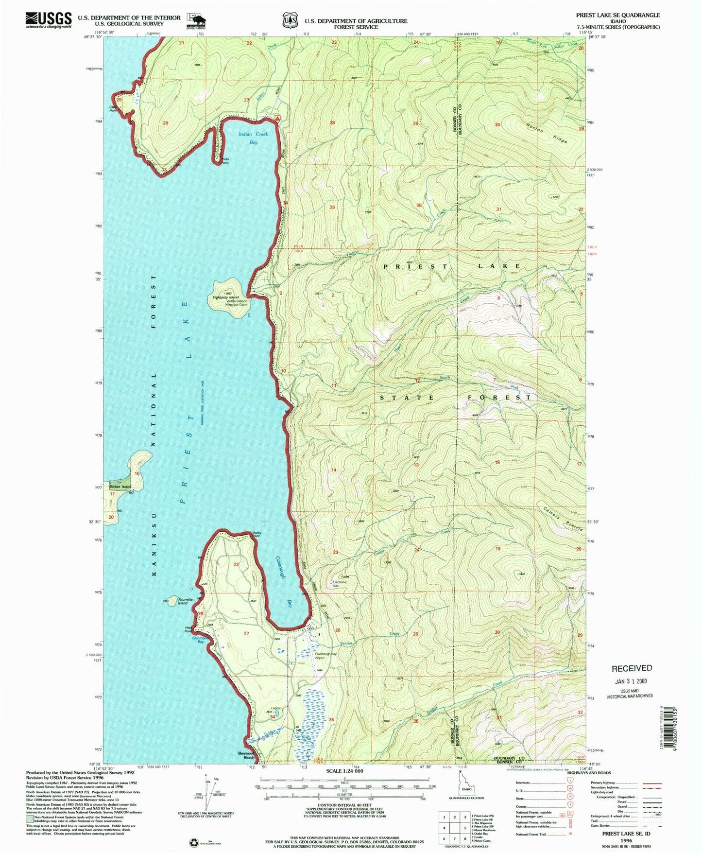
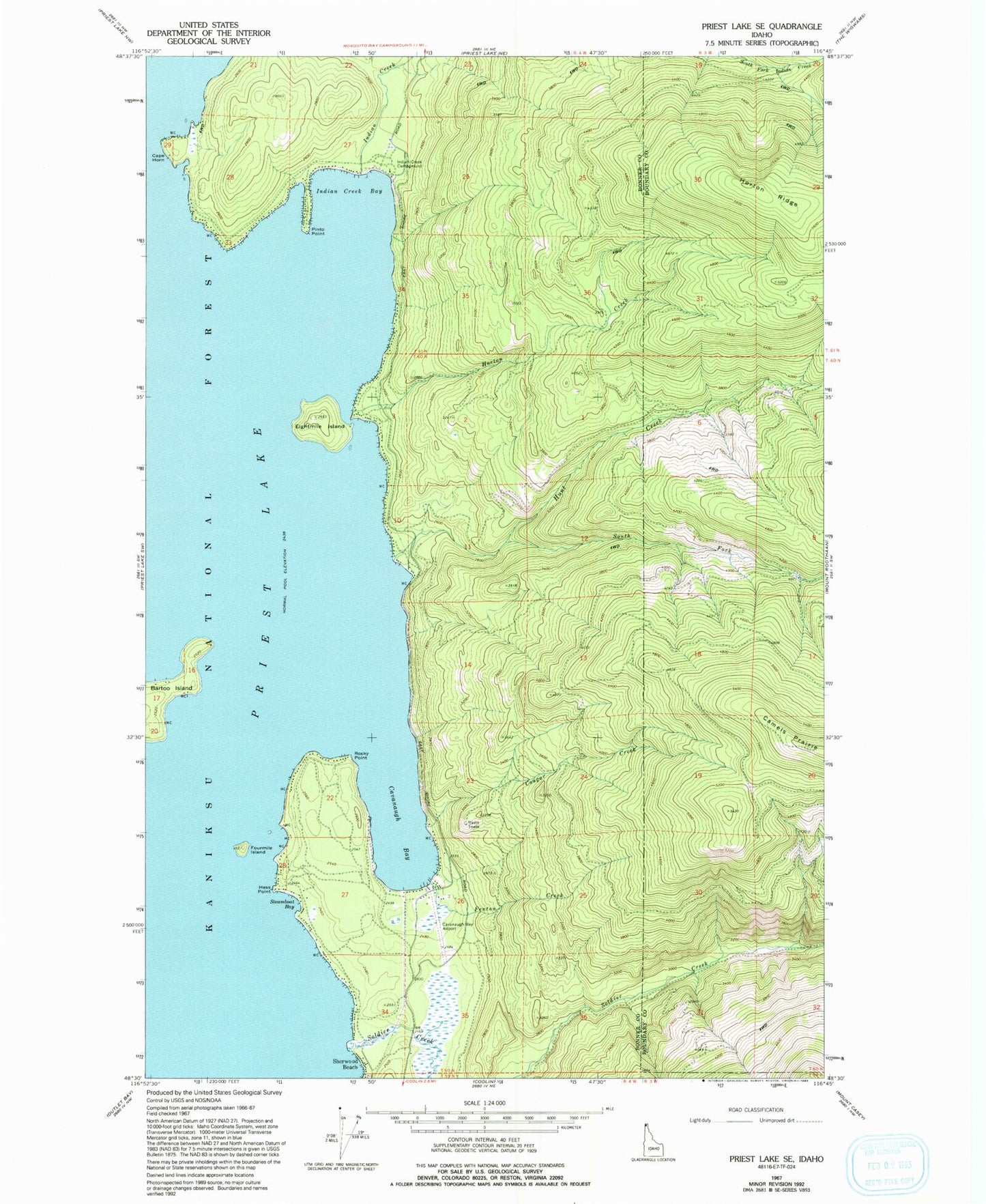
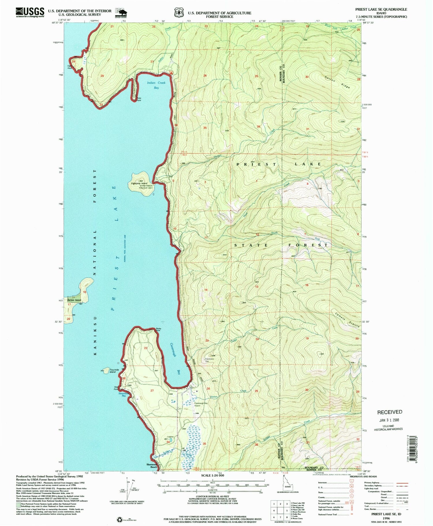
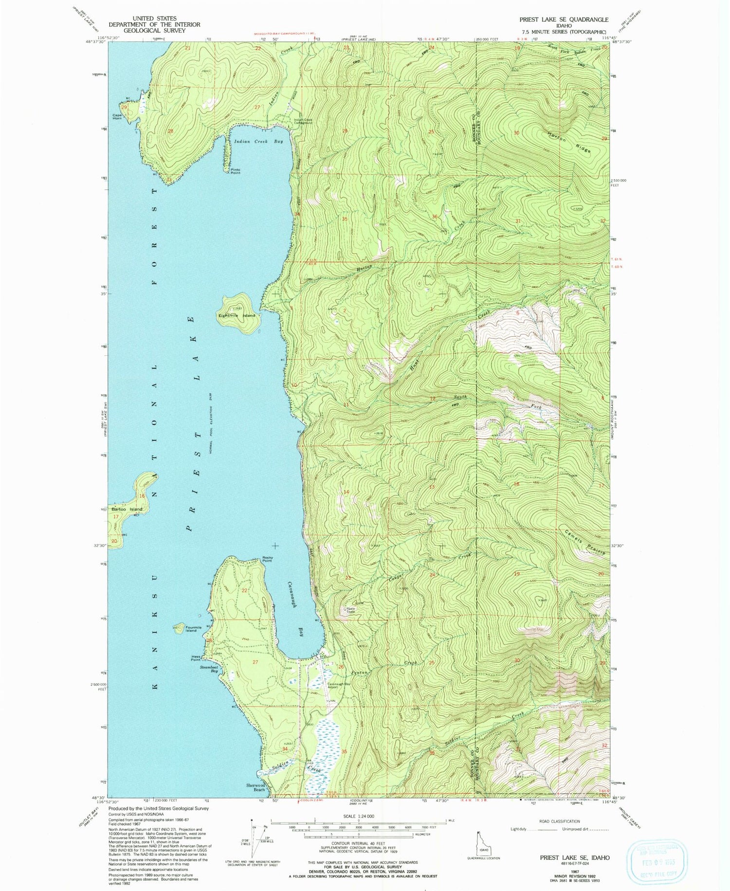
Historical USGS topographic quad map of Priest Lake SE in the state of Idaho. Typical map scale is 1:24,000, but may vary for certain years, if available. Print size: 24" x 27"
This quadrangle is in the following counties: Bonner, Boundary.
The map contains contour lines, roads, rivers, towns, and lakes. Printed on high-quality waterproof paper with UV fade-resistant inks, and shipped rolled.
Contains the following named places: Camels Prairie, Cavanaugh Bay, Cougar Creek, Fenton Creek, Hess Point, Horton Creek, Hunt Creek, Indian Creek Bay, Indian Creek Campground, Soldier Creek, South Fork Hunt Creek, Steamboat Bay, Vinther-Nelson Historical Cabin, Cavanaugh Bay Headquarters, Priest Lake State Forest, Camels Prairie Lookout Tower, Selkirk Mountains, Cape Horn, Eightmile Island, Fourmile Island, Indian Creek, Pinto Point, Priest Lake, Rocky Point, Priest Lake State Park Indian Creek Unit, Cavanaugh Bay Airport, Priest Lake Incubation Channels, Idaho Department of Lands Priest Lake Fire Protection District Station


