MyTopo
Classic USGS Priest Lake SW Idaho 7.5'x7.5' Topo Map
Couldn't load pickup availability
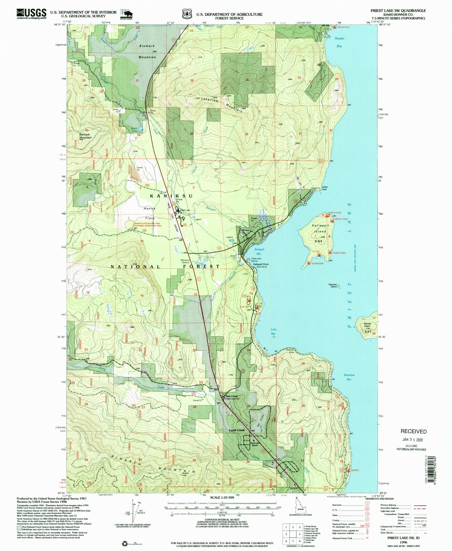
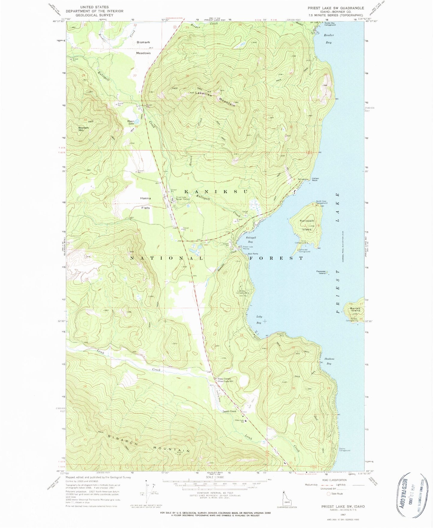
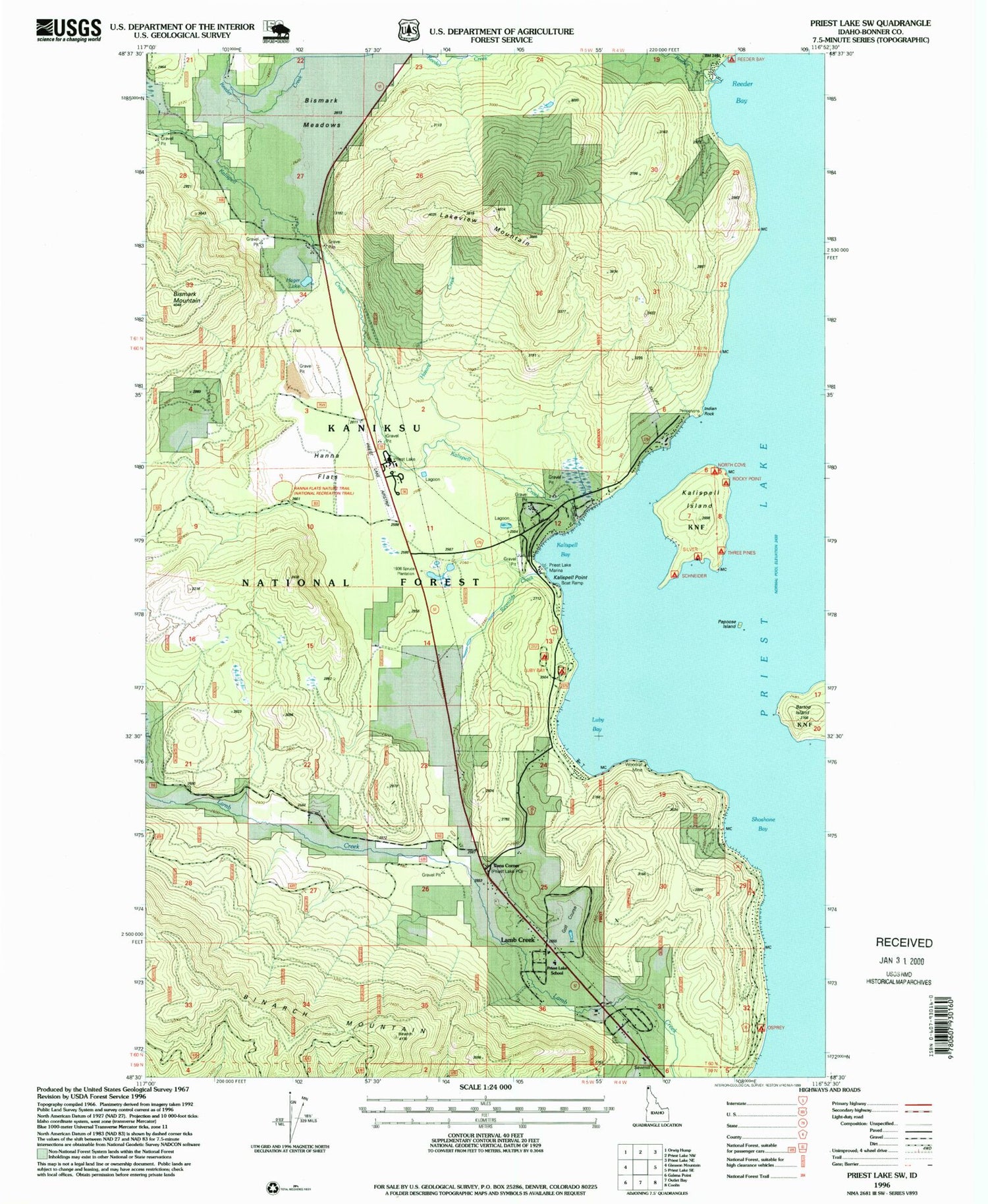
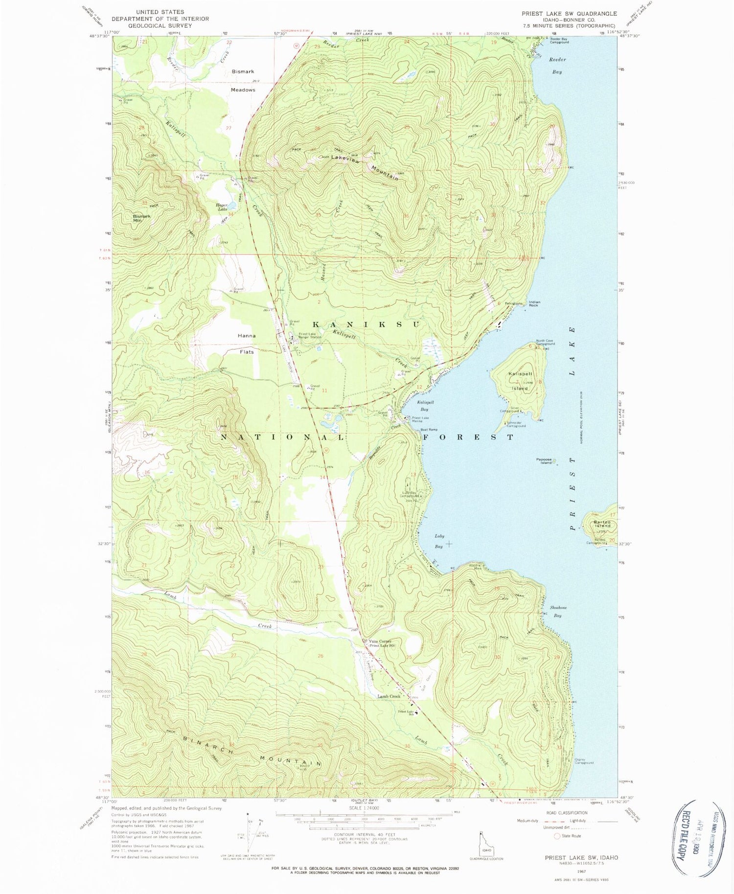
Historical USGS topographic quad map of Priest Lake SW in the state of Idaho. Typical map scale is 1:24,000, but may vary for certain years, if available. Print size: 24" x 27"
This quadrangle is in the following counties: Bonner.
The map contains contour lines, roads, rivers, towns, and lakes. Printed on high-quality waterproof paper with UV fade-resistant inks, and shipped rolled.
Contains the following named places: Baritoe Campground, Bartoo Island, Bismark Meadows, Hager Lake, Hazard Creek, Indian Rock, Kalispell Bay, Kalispell Creek, Kalispell Island, Luby Bay, Luby Bay Campground, North Cove Campground, Osprey Campground, Papoose Island, Priest Lake Ranger Station, Reeder Bay, Reeder Creek, Reynolds Creek, Schneider Campground, Shoshone Bay, Silver Campground, Woodrat Mine, Spruce, Kalispell Point Boat Ramp, Three Pines Campground, Rocky Point Campground, Hanna Flats Nature Trail, Binarch Mountain, Bismark Mountain, Lakeview Mountain, Lamb Creek, Vans Corner, Hanna Flats, Priest Lake Marina, Priest Lake Golf Club, Priest Lake Elementary School, Priest Lake USFS Airport, West Priest Lake Fire Department Station 1, Priest Lake Ambulance Service


