MyTopo
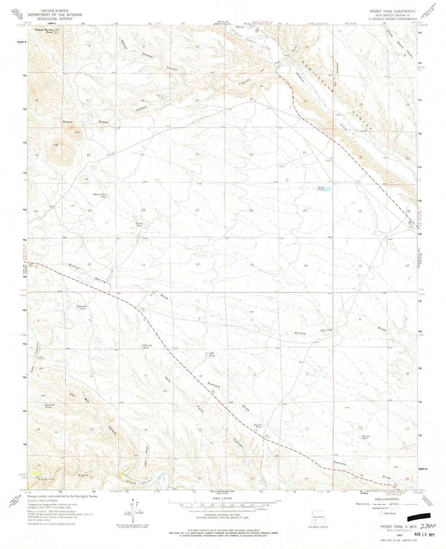
Classic USGS Priest Tank New Mexico 7.5'x7.5' Topo Map
Couldn't load pickup availability
Historical USGS topographic quad map of Priest Tank in the state of New Mexico. Map scale may vary for some years, but is generally around 1:24,000. Print size is approximately 24" x 27"
This quadrangle is in the following counties: Sierra.
The map contains contour lines, roads, rivers, towns, and lakes. Printed on high-quality waterproof paper with UV fade-resistant inks, and shipped rolled.
Contains the following named places: Aden Torres Windmill, Bernal Chavez Canyon, Canada de la Cruz, Dennison Tank, Frank Tank, Garcia Tank, Garrison Tank, Hok Canyon, Ignacio Pares Tank, Little Joe Tank, Lopez Canyon, Lopez Windmill, O W Tank, Old Mill Canyon, Priest Tank, RG 32555 Water Well, Roque Ramos Canyon, Roque Ramos Peak, S S Canyon, Samora Tank