MyTopo
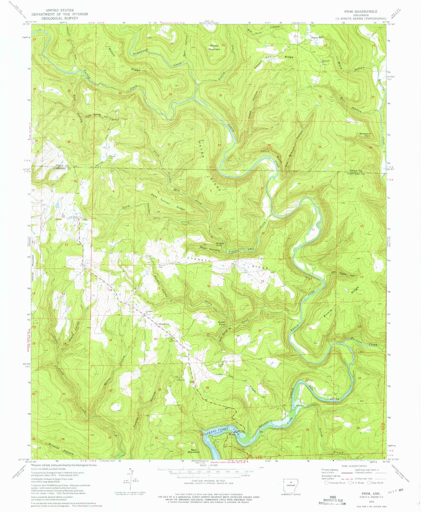
Classic USGS Prim Arkansas 7.5'x7.5' Topo Map
Couldn't load pickup availability
Historical USGS topographic quad map of Prim in the state of Arkansas. Map scale may vary for some years, but is generally around 1:24,000. Print size is approximately 24" x 27"
This quadrangle is in the following counties: Cleburne, Stone.
The map contains contour lines, roads, rivers, towns, and lakes. Printed on high-quality waterproof paper with UV fade-resistant inks, and shipped rolled.
Contains the following named places: Abe Steele Hollow, Basement Point, Bear Hollow, Beech Fork, Bothersome Creek, Boyer Ridge, Burr Hollow, Butler Hollow, Cedar Creek, Clifty Creek, Cold Spring Hollow, Dry Branch Hollow, Evans Hollow, Everett, Everett Cemetery, Everett Ridge, Grassy Creek, Gulf Hollow, Hess Hollow, Knapp Cemetery, Moore Point, Mossy Ridge, Murphy Hollow, North Panther Skin Creek, Panther Skin Creek, Pepper Box Ridge, Pete Turner Ridge, Prim, Prim Ambulance Service, Prim Post Office, Prim Volunteer Fire Department Station 2, Prince Ridge, Raccoon Creek, Round Mountain, Signal Hill, Signal Hill Church, South Panther Skin Creek, Stubbs Point, Tomahawk Creek, Township of California, Turkey Creek, Verser Cemetery, Ward Hollow, Woodrow, Woodrow Baptist Church, Woodrow School, Yellow Bluffs, Yellow Branch, ZIP Code: 72130


