MyTopo
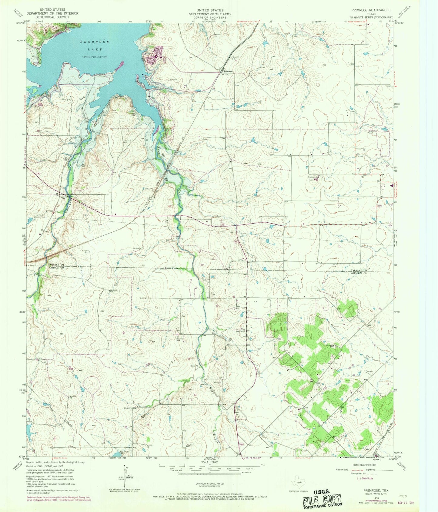
Classic USGS Primrose Texas 7.5'x7.5' Topo Map
Couldn't load pickup availability
Historical USGS topographic quad map of Primrose in the state of Texas. Map scale may vary for some years, but is generally around 1:24,000. Print size is approximately 24" x 27"
This quadrangle is in the following counties: Johnson, Tarrant.
The map contains contour lines, roads, rivers, towns, and lakes. Printed on high-quality waterproof paper with UV fade-resistant inks, and shipped rolled.
Contains the following named places: Bear Creek, CareFlite - Johnson County Station 2, Crowley Church of Christ, Crowley Middle School, Eagle Stadium, First Baptist Church of Crowley, Godley Fire Department Station 2, Mustang Creek, Mustang Park, North Crowley High School, Panther Stadium, Plover, Plover Heliport, Primrose, Rock Creek, Rocky Creek Park, Saint Francis Village, Saint Francis Village Water Treatment Facility, ZIP Codes: 76036, 76123