MyTopo
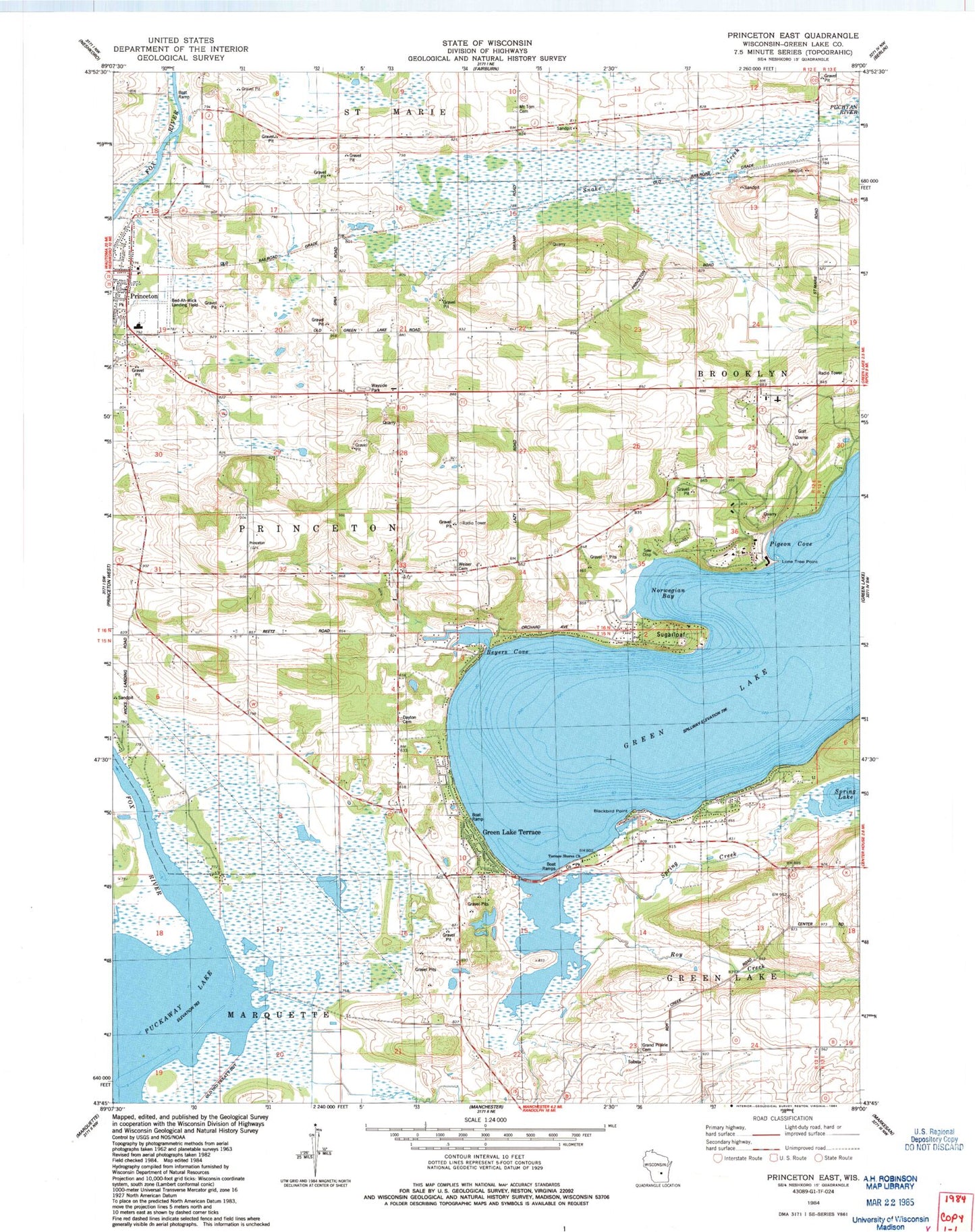
Classic USGS Princeton East Wisconsin 7.5'x7.5' Topo Map
Couldn't load pickup availability
Historical USGS topographic quad map of Princeton East in the state of Wisconsin. Map scale may vary for some years, but is generally around 1:24,000. Print size is approximately 24" x 27"
This quadrangle is in the following counties: Green Lake.
The map contains contour lines, roads, rivers, towns, and lakes. Printed on high-quality waterproof paper with UV fade-resistant inks, and shipped rolled.
Contains the following named places: Bed-Ah-Wick Field, Beyers Cove, Blackbird Point, Dayton Cemetery, Dickinsons Bay, Emmanuel United Methodist Church, Golf Courses of Lawsonia, Grand Prairie Cemetery, Green Lake, Green Lake Conference Center, Green Lake County, Green Lake Terrace, Greenwyck, Lakewood Estates, Lone Tree Point, Mount Tom Cemetery, Norwegian Bay, Pigeon Cove, Pleasant Valley Church, Princeton, Princeton Police Department, Princeton School, Quimby Bay, Roy Creek, School Number 1, School Number 11, School Number 12, School Number 2, School Number 3, School Number 5, School Number 6, School Number 8, Snake Creek, Snake Creek Fen State Natural Area, Spring Creek, Spring Lake, Sugarloaf, Sylvan Shores, Terrace Shores Evangelical Free Church, Town of Princeton, Weiser Cemetery


