MyTopo
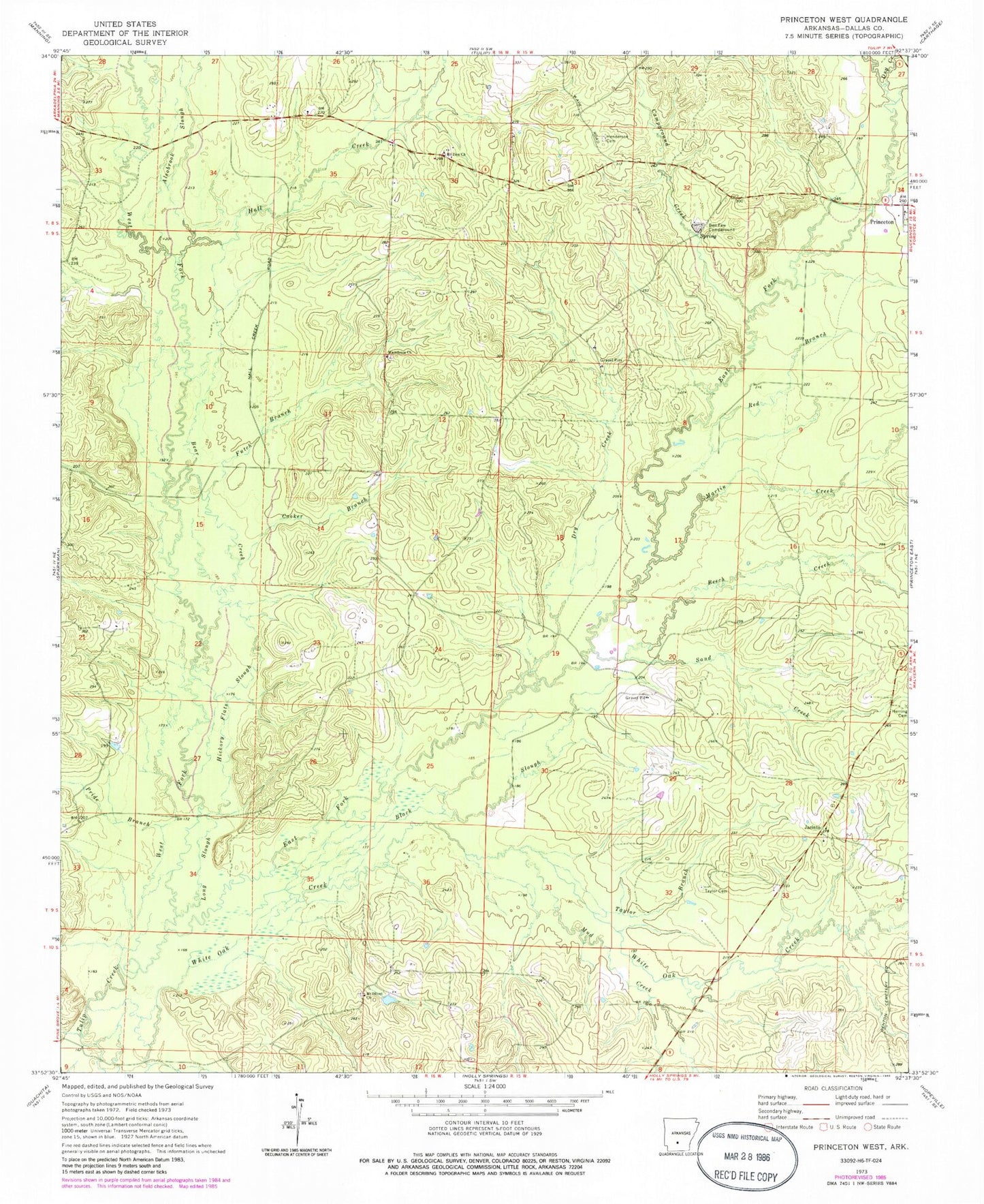
Classic USGS Princeton West Arkansas 7.5'x7.5' Topo Map
Couldn't load pickup availability
Historical USGS topographic quad map of Princeton West in the state of Arkansas. Typical map scale is 1:24,000, but may vary for certain years, if available. Print size: 24" x 27"
This quadrangle is in the following counties: Dallas.
The map contains contour lines, roads, rivers, towns, and lakes. Printed on high-quality waterproof paper with UV fade-resistant inks, and shipped rolled.
Contains the following named places: Alsobrook Slough, Beech Creek, Ben Few Campground, Black Slough, Cooker Branch, East Fork Tulip Creek, Futch Branch, Henderson Cemetery, Herring Cemetery, Hickory Flats Slough, Long Slough, Macedonia Church, Mitchell Branch, Mount Olivet Church, Mount Zion Church, Mud Creek, Pride Branch, Red Branch, Sand Creek, Taylor Branch, Taylor Cemetery, White Oak Creek, Jacinto, Cruse (historical), Nix (historical), Oakhurst (historical), Township of Princeton, Dallas County, Hall Creek, Bear Creek, Campground Creek, Dry Creek, Dry Creek, Martin Creek, West Fork Tulip Creek


