MyTopo
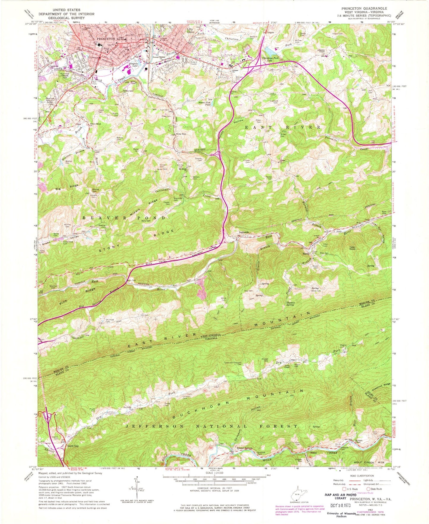
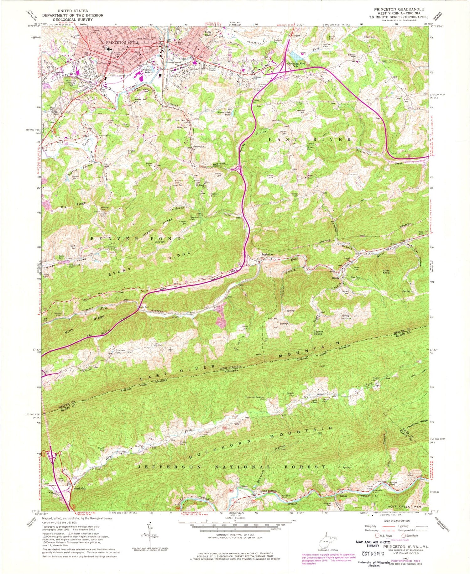
Classic USGS Princeton West Virginia 7.5'x7.5' Topo Map
Couldn't load pickup availability
Historical USGS topographic quad map of Princeton in the states of West Virginia, Virginia. Map scale may vary for some years, but is generally around 1:24,000. Print size is approximately 24" x 27"
This quadrangle is in the following counties: Bland, Giles, Mercer.
The map contains contour lines, roads, rivers, towns, and lakes. Printed on high-quality waterproof paper with UV fade-resistant inks, and shipped rolled.
Contains the following named places: Bailey Cemetery, Barberie Cemetery, Belcher Cemetery, Belcher School, Big Ridge, Big Spring Branch, Billie, Birchfield Spring, Bivins Cemetery, Blake, Blake Cemetery, Bowling Cemetery, Bratton Branch, Bratton Cemetery, Bray Cemetery, Brown Cemetery, Brush Creek Structure Number 10 Dam, Burke Memorial Baptist Church, Carper Cemetery, Carper School, Cassidy Cemetery, Christian Fork, Christian Fork Lake, Church of Christ, Church of God, Church of the Living God, Church of the Nazarene, City of Princeton, Clark Cemetery, Comfort Cemetery, Cooper Cemetery, Crawford Cemetery, Daves Fork, Daves Fork-Christians Fork Structure Three Dam, Douglas Lake, Dry Fork, Dry Fork Church, Dunbar School, East River, East River Mountain Tunnel, East River Volunteer Fire Department, Elmore Cemetery, Elmore School, First Baptist Church, First Church of Christ, First Church of God, First United Methodist Church, Gibson Cemetery, Glady Fork, Golden Gate Church, Gospel Tabernacle, Gracie Branch, Green Valley School, H. P. Hunnicutt Field, Hall Cemetery, Hardy, Hardy School, Harmon Branch, Harry Cemetery, Harvey Cemetery, HealthSouth Southern Hills Rehabilitation Hospital, Hearn Cemetery, Hill Cemetery, Hogan Cemetery, Holt School, Honaker Cemetery, Hoot Owl Hollow, Hop Cemetery, Hypes Cemetery, Immanuel Church, Ingleside, Ingleside School, Jarrell School, Jarrell Spring, Johnson School, Johnston Chapel, Kee Street Methodist Church, Knob Elementary School, Lambert Hollow, Legends Residential Treatment Center, Lilly Grove, McCue Cemetery, McKenzie Station, Memorial Hospital, Mercer Christian Academy Elementary School, Mercer County Courthouse, Mercer County Sheriff's Office, Mercer County Technical Education Center, Mercer Elementary School, Middle Ridge, Mill Branch, Miller Cemetery, Mills Cemetery, Mills Valley, Mount Calvary Baptist Church, Mount Horeb Cemetery, Mount Horeb United Methodist Church, Niday, North Gap, Oakwood Cemetery, Oney Cemetery, Oney Gap, Opossum Hollow, Parmer Cemetery, Peggy Branch, Pentecostal Holiness Church, Pine Ridge, Princeton, Princeton Academy, Princeton City Hall, Princeton Community Hospital, Princeton Community Hospital Heliport, Princeton Fire Department Station 1, Princeton Fire Department Station 2, Princeton Hospital, Princeton Middle School, Princeton Police Department, Princeton Post Office, Princeton Presbyterian Church, Princeton Primary School, Princeton Public Library, Princeton Rescue Squad, Princeton Rescue Squad Station 1, Princeton Senior High School, Princeton Youth Park, Pruett Cemetery, Queen School, Reed Cemetery, Resthaven Cemetery, Reynolds Cemetery, Roach Cemetery, Rocky Gap Volunteer Fire Department, Rocky Hollow, Rocky Hollow School, Roselawn Memorial Garden, Round Bottom, Sacred Heart Roman Catholic Church, Scott Cemetery, Shields Cemetery, Shrader Cemetery, Shumate Cemetery, Simon Fish Pond, Southern Hills Rehabilitation Hospital, Spangler Valley, Stinson Cemetery, Stinson Church, Stinson School, Straley Elementary School, Stumpy Bottom, Stumpy Bottom Church, Sword Cemetery, Tater Knob, Thomas Spring, Thorn Elementary School, Tiller Cemetery, Twelvemile Creek, Tynes and Ferguson Cemetery, Tynes Chapel, Underwood Cemetery, Union Church, Wagner Cemetery, Walters Cemetery, WAMN-AM (Green Valley), Websters Methodist Temple, Wells Cemetery, West Virginia State Police Troop 6 - Princeton Detachment, White Cemetery, White School, Williams Chapel, Willow Brook, Willow Brook Church, Wilson Cemetery, Wimmer Cemetery, Winfrey Cemetery, WKMY-FM (Princeton), ZIP Codes: 24366, 24740


