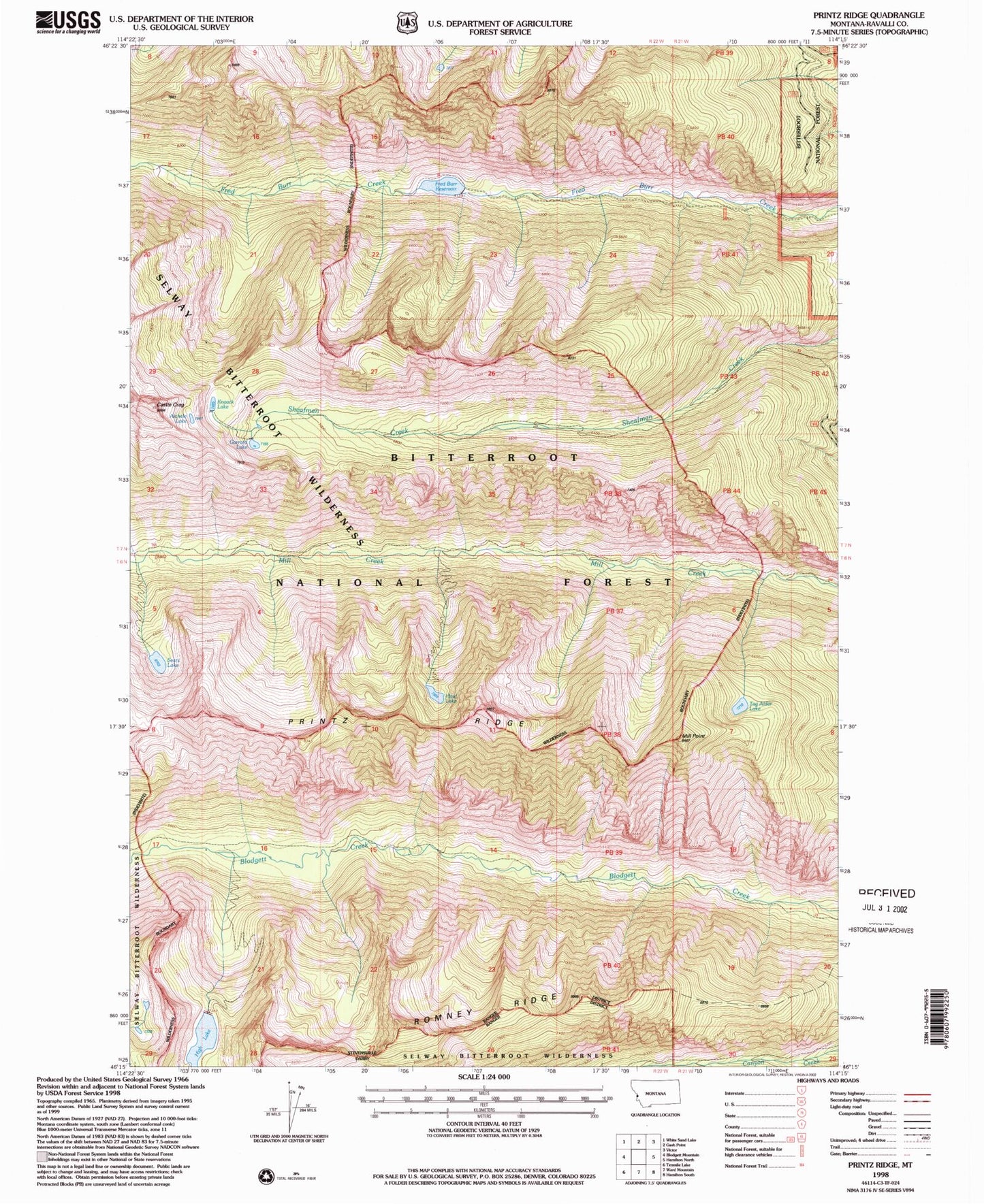
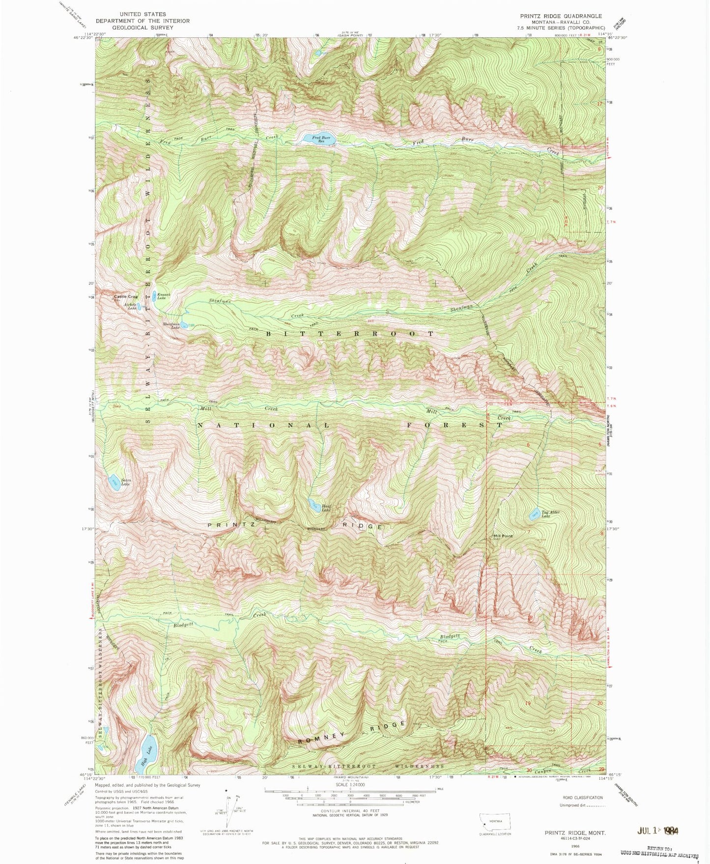
MyTopo
Classic USGS Printz Ridge Montana 7.5'x7.5' Topo Map
Regular price
$16.95
Regular price
Sale price
$16.95
Unit price
per
Couldn't load pickup availability
Historical USGS topographic quad map of Printz Ridge in the state of Montana. Typical map scale is 1:24,000, but may vary for certain years, if available. Print size: 24" x 27"
This quadrangle is in the following counties: Ravalli.
The map contains contour lines, roads, rivers, towns, and lakes. Printed on high-quality waterproof paper with UV fade-resistant inks, and shipped rolled.
Contains the following named places: Aichele Lake, Castle Crag, Fred Burr Reservoir, Hauf Lake, High Lake, Knaack Lake, Mill Point, Printz Ridge, Romney Ridge, Sears Lake, Garrard Lake, Tag Alder Lake, Fred Burr Reservoir Dam, Sears Dam, Hauf Lake Dam, High Lake Dam