MyTopo
Classic USGS Pritchardville South Carolina 7.5'x7.5' Topo Map
Couldn't load pickup availability
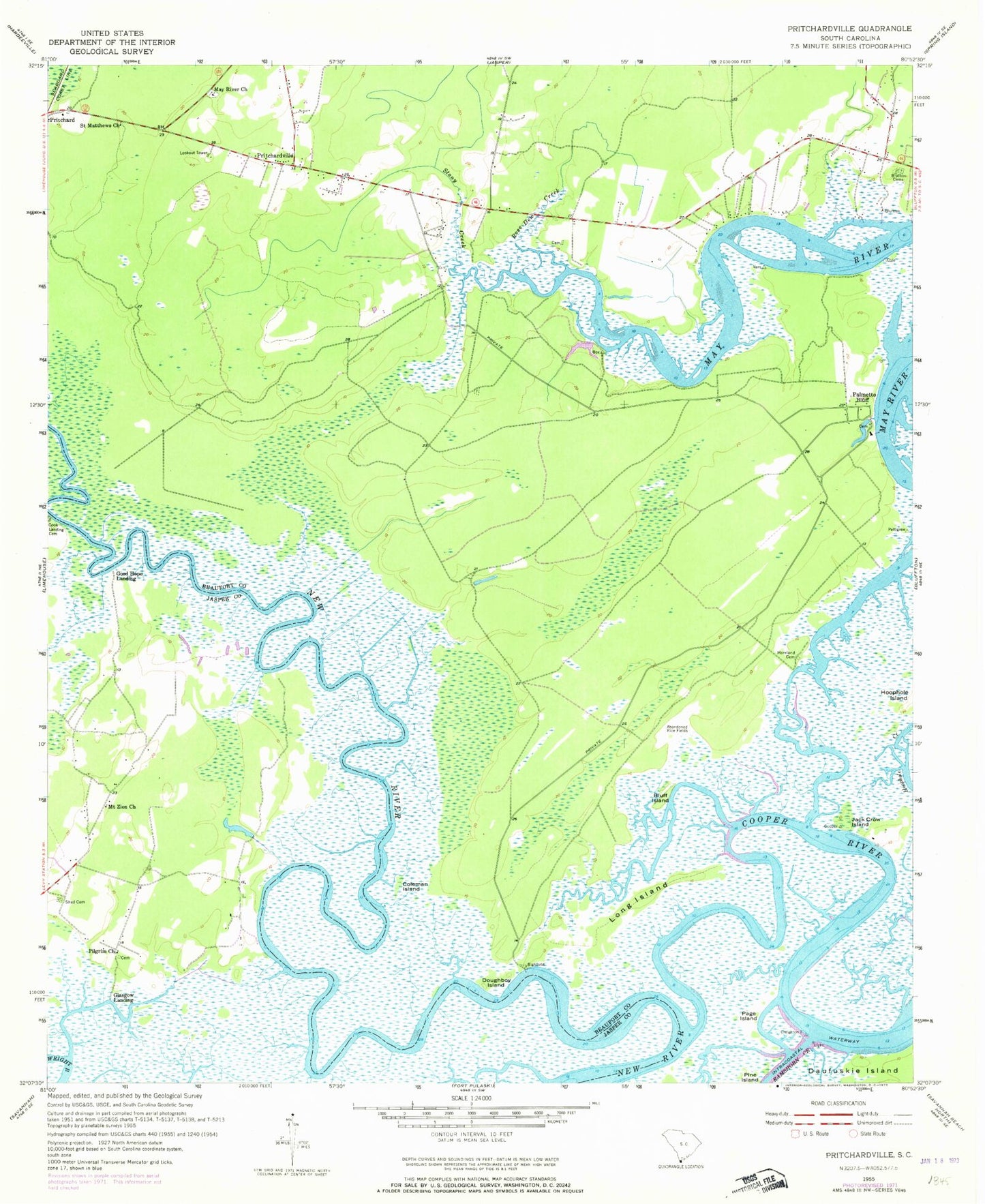
Historical USGS topographic quad map of Pritchardville in the state of South Carolina. Map scale may vary for some years, but is generally around 1:24,000. Print size is approximately 24" x 27"
This quadrangle is in the following counties: Beaufort, Jasper.
The map contains contour lines, roads, rivers, towns, and lakes. Printed on high-quality waterproof paper with UV fade-resistant inks, and shipped rolled.
Contains the following named places: Bellinger Hill School, Bluff Island, Bluffton Cemetery, Bluffton Elementary School, Bluffton Township Fire District Station 31, Coleman Island, Cook Landing Cemetery, Cooper River, Crane Island, Cummingsville Cemetery, Doughboy Island, Glasgow Landing, Good Hope Landing, H E McCracken Middle School, Jack Crow Island, Long Island, May River Neck, Maye River Baptist Church, Mile Swamp, Moreland Cemetery, Mount Zion Church, Page Island, Palmetto Bluff, Pilgrim Church, Pritchardville, Rose Dew Creek, Saint Matthews Church, Shad Cemetery, Shoe Quarter Swamp, Stoney School, Stony Creek, Town of Bluffton, Union Camp Pond Dam D-2939, ZIP Code: 29910