MyTopo
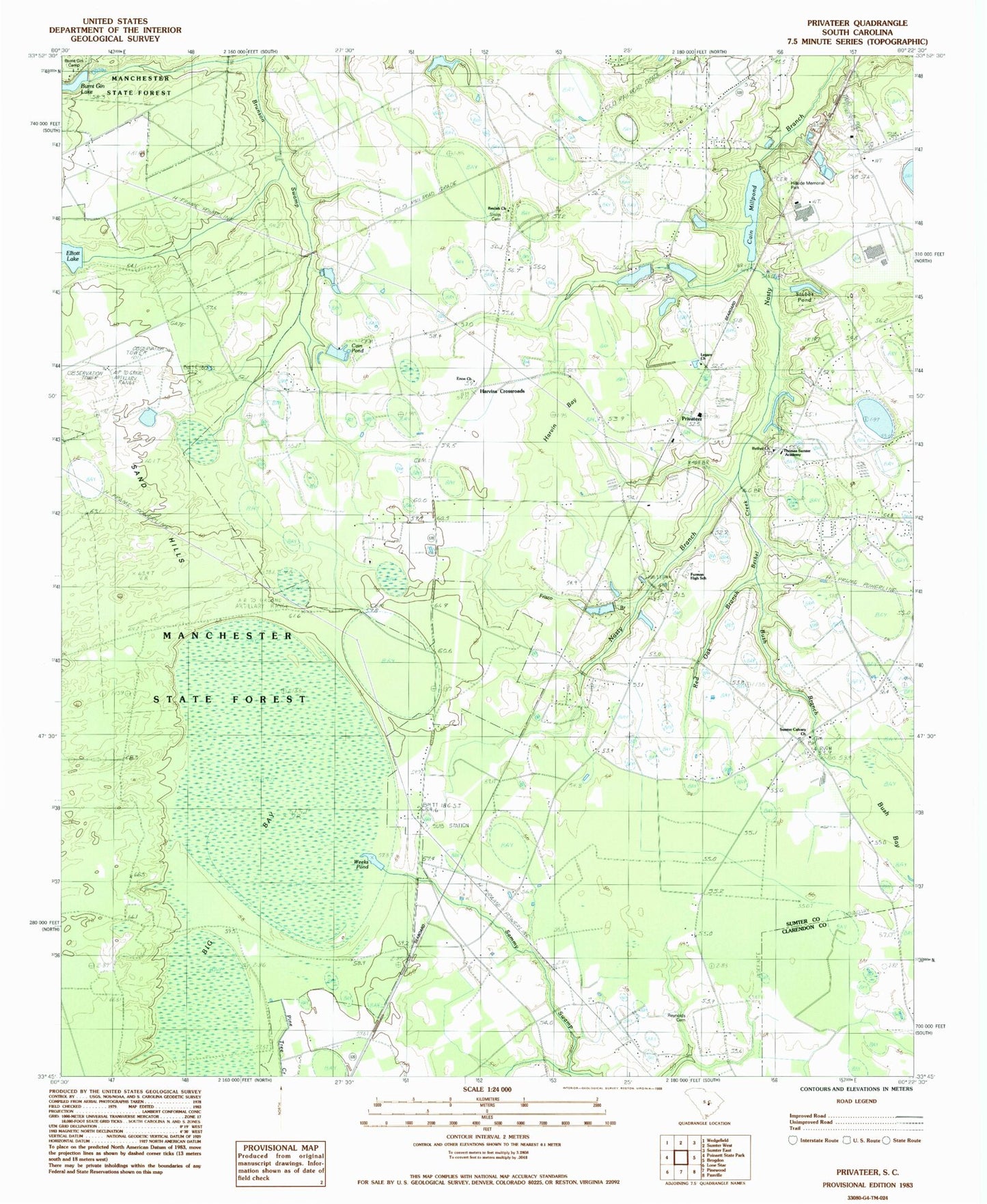
Classic USGS Privateer South Carolina 7.5'x7.5' Topo Map
Couldn't load pickup availability
Historical USGS topographic quad map of Privateer in the state of South Carolina. Map scale may vary for some years, but is generally around 1:24,000. Print size is approximately 24" x 27"
This quadrangle is in the following counties: Clarendon, Sumter.
The map contains contour lines, roads, rivers, towns, and lakes. Printed on high-quality waterproof paper with UV fade-resistant inks, and shipped rolled.
Contains the following named places: Ballard School, Bethel Church, Beulah Church, Beulah School, Big Bay, Briarcliff Estates, Burnt Gin Camp, Burnt Gin Lake Dam D-1450, Bush Bay, Bush Branch, Cain Millpond, Cain Mills Club, Cain Pond, Cain Pond Dam D-2058, Cains Mill Pond Dam D-1578, Camp Miller, Elliots Lake Dam D-1448, Elliott Lake, Enon Church, Forest Lake Estates, Frisco Branch, Furman High School, Harvin Bay, Harvins Crossroads, Hillside Memorial Park, Ingram School, Jones Pond, Jones Pond Dam D-1575, Korn Pond, Korn Pond Dam D-2059, Legare School, Monoghan Auxiliary Airfield, Monoghan School, Montagues Pond, Privateer, Privateer Census Designated Place, Privateer Church, Privateer Division, Privateer School, Red Oak Branch, Reynolds Cemetery, Rose School, Sand Hills, Shuler Pond Dam D-1577, Shulers Pond, Smith Cemetery, Southgate, Stubbs Pond, Sumter Calvary Church, Thomas Sumter Academy, Weeks Pond