MyTopo
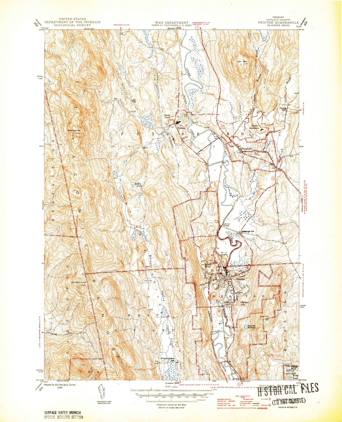
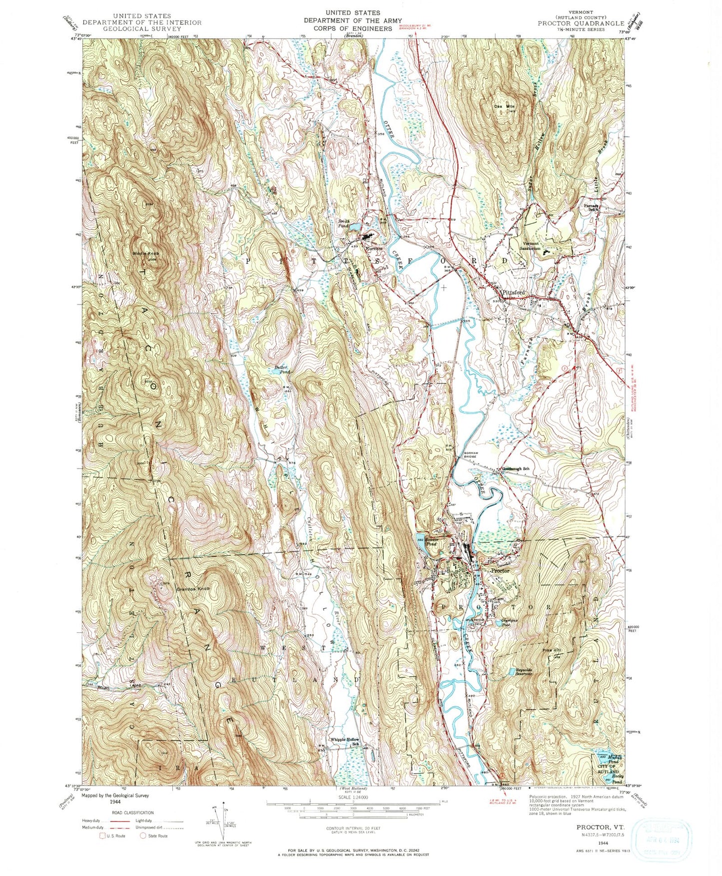
Classic USGS Proctor Vermont 7.5'x7.5' Topo Map
Couldn't load pickup availability
Historical USGS topographic quad map of Proctor in the state of Vermont. Typical map scale is 1:24,000, but may vary for certain years, if available. Print size: 24" x 27"
This quadrangle is in the following counties: Rutland.
The map contains contour lines, roads, rivers, towns, and lakes. Printed on high-quality waterproof paper with UV fade-resistant inks, and shipped rolled.
Contains the following named places: Beaver Pond, Biddie Knob, Butler Pond, Cox Mountain, Florence, Furnace School, Goodnough School, Gorham Bridge, Grandpa Knob, Muddy Pond, Olympus Pool, Pine Hill, Pittsford, Proctor, Reynolds Reservoir, Riverside Cemetery, Rocky Pond, Smith Pond, Vermont Sanatorium, Whipple Hollow School, Furnace Brook, Little Brook, Sugar Hollow Brook, WRVT-FM (Rutland), WVER-TV (Rutland), Town of Pittsford, Town of Proctor, Proctor Dam, Beaver Pond Dam, Caverly Preventorium (historical), Colburn Bridge, Congregational Burial Yard, Cooley Covered Bridge, Depot Covered Bridge, Evergreen Cemetery, Grangerville, Hammond Covered Bridge, Lothrop School, Old Cemetery, Pittsford Congregational Church, Pittsford Green Historic District, Pittsford Post Office, Pittsford Town Hall, Proctor Elementary School, Proctor Volunteer Fire Department, Proctor Junior / Senior High School, Proctor Post Office, Proctor Town Hall, Proctor Village Municipal Forest, Rutland Municipal Forest, Saint Alphonsus Cemetery, Saint Dominicks Catholic Church, Saint Dominicks Cemetery, Sargent Pond, Sugar Hollow Pond, Sutherland Falls, Union Church of Proctor, Vermont Police Academy, Vermont Police Academy Library, Walker Memorial Library, Warner Cove, West Rutland State Forest, Whipple Hollow Cemetery, Whipple Hollow Wildlife Management Area, Wilson Castle, Pittsford Fire Department - Fire Service Training, Pittsford Fire Department, Pittsford First Response Emergency Squad, Pittsford Census Designated Place, Florence Post Office, Proctor Census Designated Place


