MyTopo
Classic USGS Promise South Dakota 7.5'x7.5' Topo Map
Regular price
$16.95
Regular price
Sale price
$16.95
Unit price
per
Couldn't load pickup availability
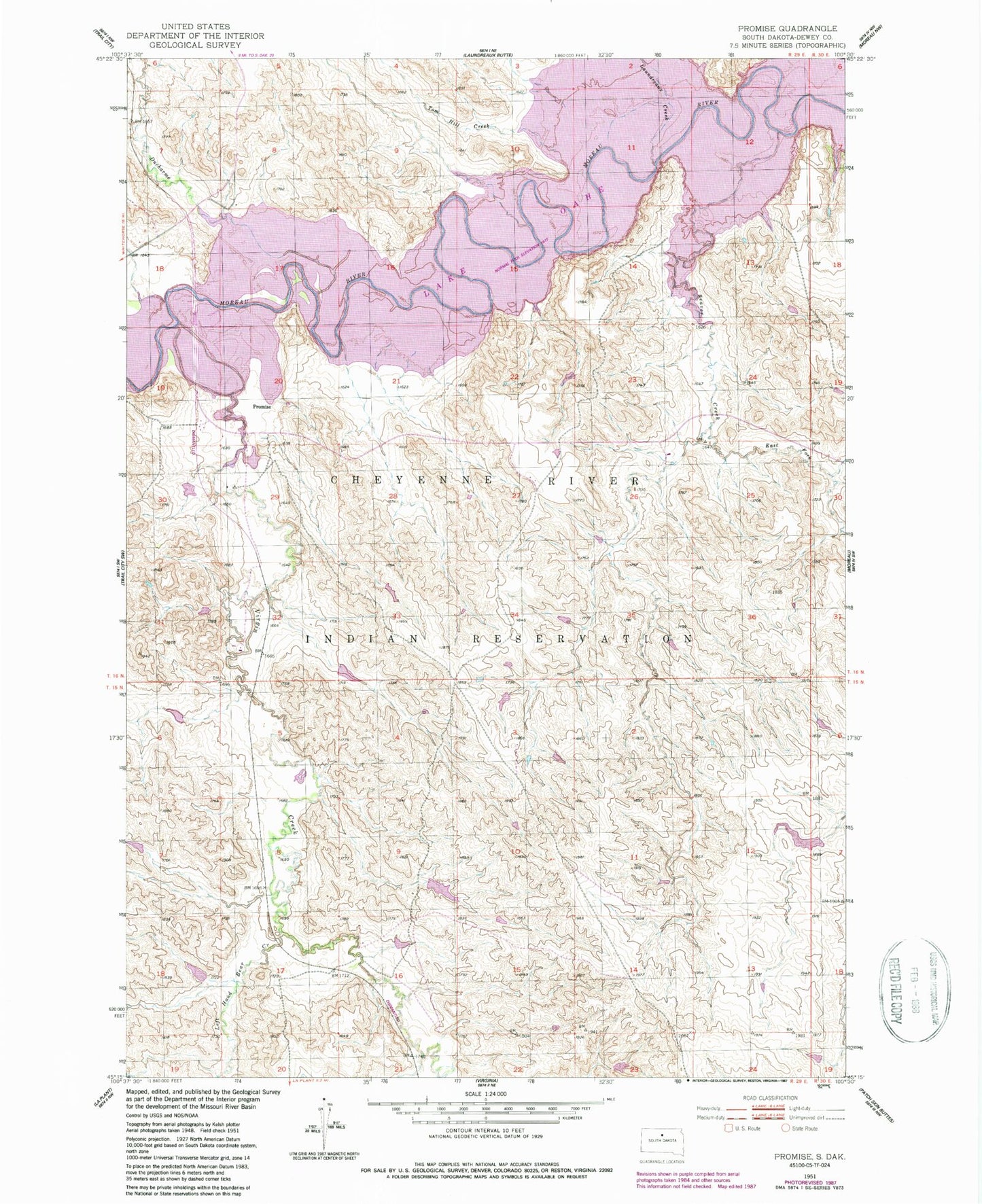
Historical USGS topographic quad map of Promise in the state of South Dakota. Map scale may vary for some years, but is generally around 1:24,000. Print size is approximately 24" x 27"
This quadrangle is in the following counties: Dewey.
The map contains contour lines, roads, rivers, towns, and lakes. Printed on high-quality waterproof paper with UV fade-resistant inks, and shipped rolled.
Contains the following named places: Beaver Creek, Du Charme Creek, East Fork Beaver Creek, Left Hand Bear Creek, Marshall Creek, Promise, Promise Cemetery, Saint John the Evangelist Church, Saint Johns Cemetery, Saint Johns Church, Tom Hill Creek, Virgin Creek