MyTopo
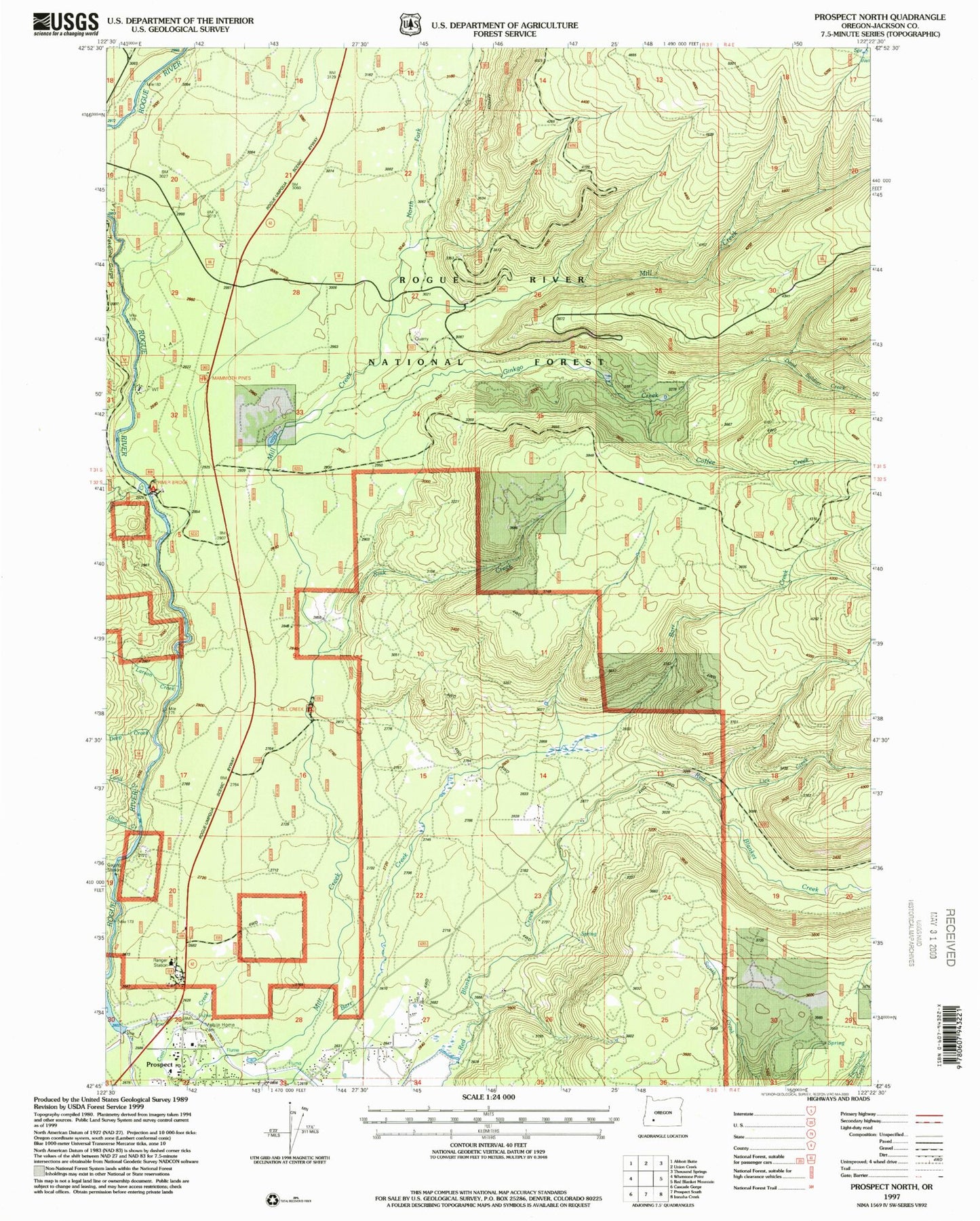
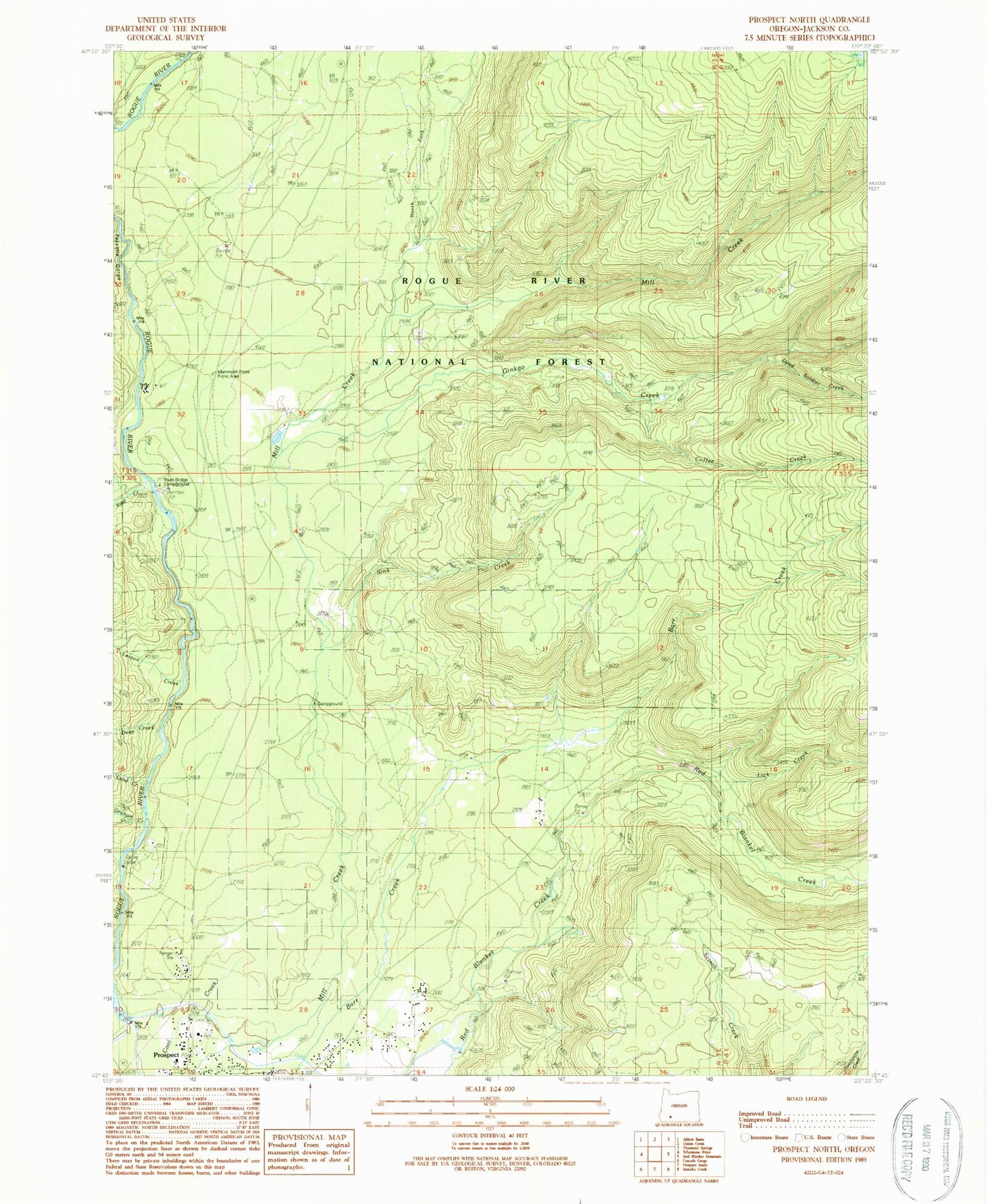
Classic USGS Prospect North Oregon 7.5'x7.5' Topo Map
Couldn't load pickup availability
Historical USGS topographic quad map of Prospect North in the state of Oregon. Map scale may vary for some years, but is generally around 1:24,000. Print size is approximately 24" x 27"
This quadrangle is in the following counties: Jackson.
The map contains contour lines, roads, rivers, towns, and lakes. Printed on high-quality waterproof paper with UV fade-resistant inks, and shipped rolled.
Contains the following named places: Aiken Family Plot, Coffee Creek, Dead Soldier Creek, Deep Creek, Ginkgo Creek, Ginkgo Trail, Graham Creek, High Cascades Ranger District - Prospect Office, Kiter Creek, Larson Creek, Lick Creek, Lund Creek, Mammoth Pines, Mammoth Pines Picnic Area, Mill Creek Recreation Site, Needle Creek, North Fork Diversion Dam, North Fork Diversion Reservoir, North Fork Mill Creek, Prospect, Prospect Branch Library, Prospect Census Designated Place, Prospect Fire Department, Prospect Post Office, Prospect Sanitary Landfill, Prospect School, Red Blanket Reservoir, River Bridge Recreation Site, Sink Creek, Skeeters Camp, Takelma Gorge, Union Rogue Church Camp, United States Forest Service Prospect Ranger District, ZIP Code: 97536


