MyTopo
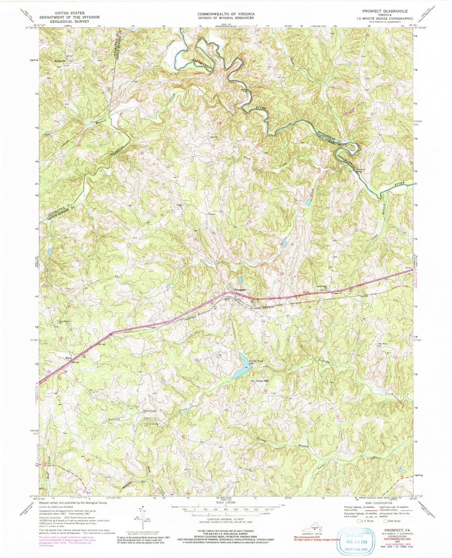
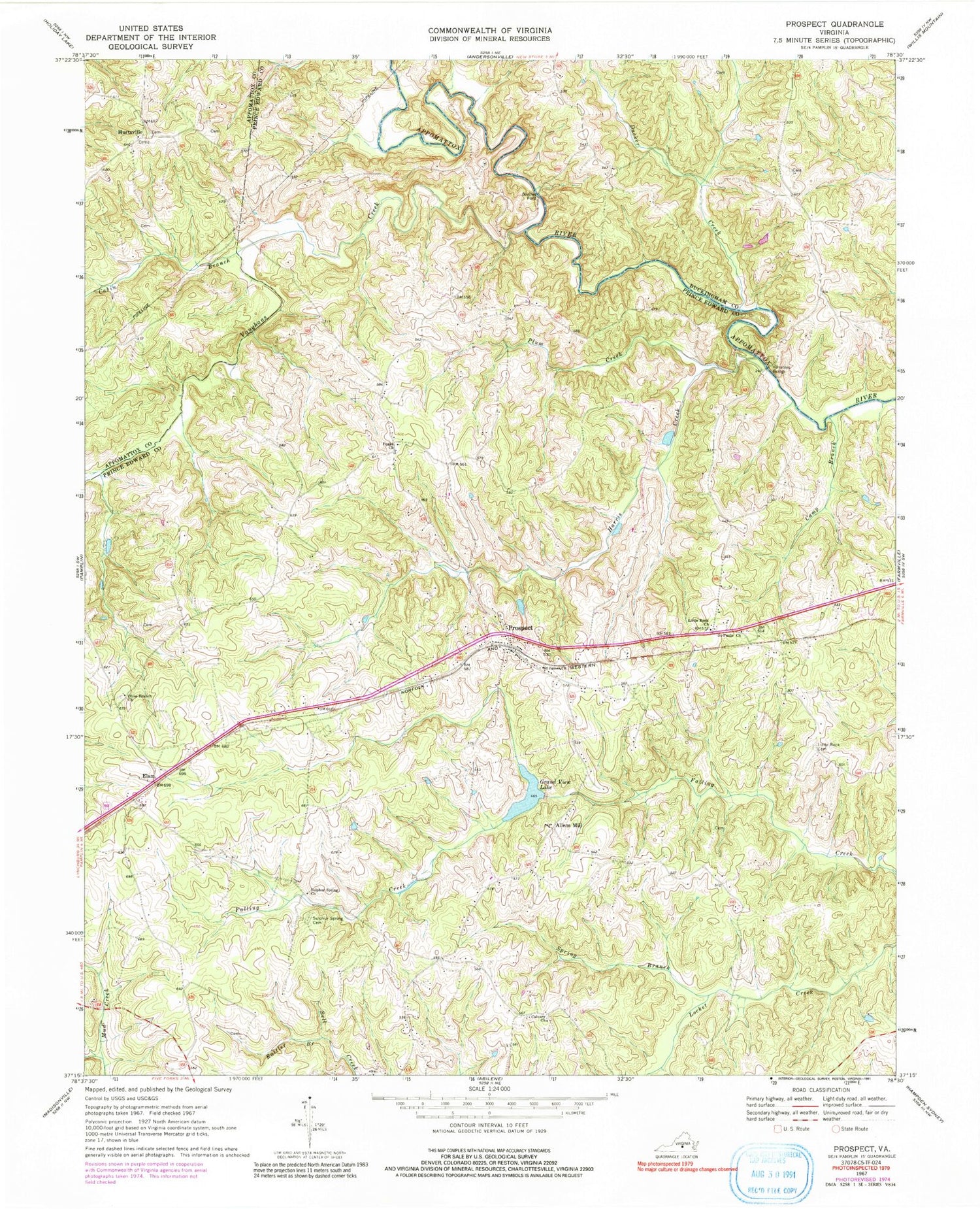
Classic USGS Prospect Virginia 7.5'x7.5' Topo Map
Couldn't load pickup availability
Historical USGS topographic quad map of Prospect in the state of Virginia. Map scale may vary for some years, but is generally around 1:24,000. Print size is approximately 24" x 27"
This quadrangle is in the following counties: Appomattox, Buckingham, Prince Edward.
The map contains contour lines, roads, rivers, towns, and lakes. Printed on high-quality waterproof paper with UV fade-resistant inks, and shipped rolled.
Contains the following named places: Allens Mill, Beazley Ford, Brisentine Pond, Brisentines Dam, Buffalo Creek Number One Dam, Cabin Branch, Calvary Church, Camp Branch, Carter Dam, District 601, Ducker Creek, Elam, First Rock School, Grand View Lake, Harris Creek, Hurtsville, Little Rock Cemetery, Little Rock Church, Olive Branch Cemetery, Olive Branch Church, Orange Dam, Peaks Church, Peaks School, Plum Creek, Prospect, Prospect Cemetery, Prospect Christian Academy, Prospect Methodist Church, Prospect Post Office, Prospect School, Prospect Volunteer Fire Department, Rattler Branch, Saint James Church, Saint Pauls Church, Sleepy Hollow Cemetery, Spring Branch, Sulphur Spring Cemetery, Sulphur Spring Church, Vaughans Creek, Venables Bridge, ZIP Code: 23960


