MyTopo
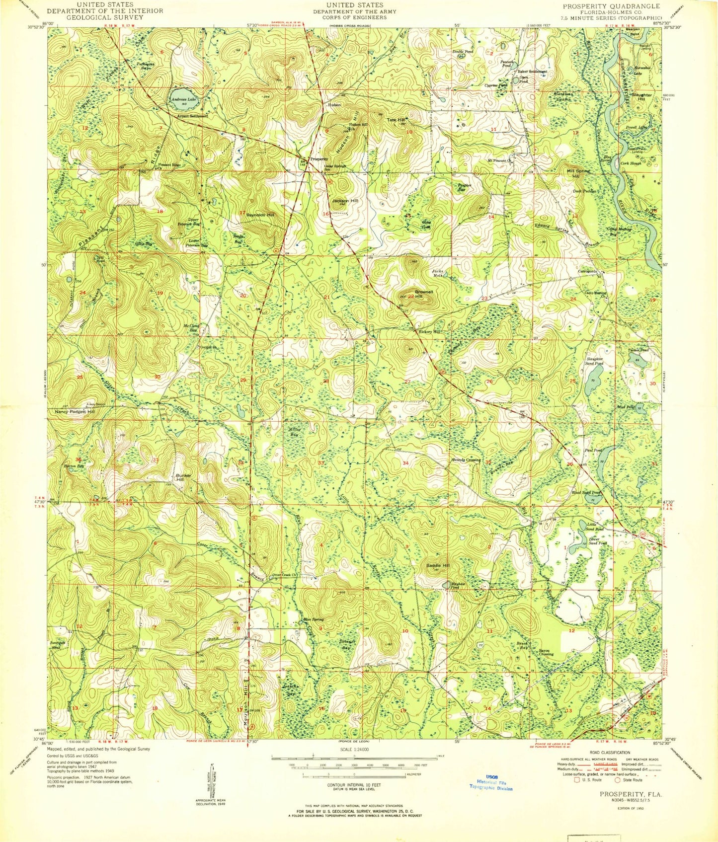
Classic USGS Prosperity Florida 7.5'x7.5' Topo Map
Couldn't load pickup availability
Historical USGS topographic quad map of Prosperity in the state of Florida. Map scale may vary for some years, but is generally around 1:24,000. Print size is approximately 24" x 27"
This quadrangle is in the following counties: Holmes.
The map contains contour lines, roads, rivers, towns, and lakes. Printed on high-quality waterproof paper with UV fade-resistant inks, and shipped rolled.
Contains the following named places: Andrews Lake, Arrant Settlement, Baker Settlement, Bayou Crossing, Bearpen Bend, Bearpen Landing, Beech Bay, Blackman Swamp, Blue Creek, Blue Spring, Bounds Crossing, Brownell Hill, Bunker Hill, Camp Meeting Church, Campground Bay, Cedar Springs School, Cerrogordo, Corinth Church, Cork Slough, Cypress Pond, D.D. Eldridge Memorial Park, Double Pond, Duck Puddles, Edward Spring Branch, Gillis Bay, Glass Pond, Goose Branch, Gopher Ridge, Hickory Hill, Hood Lake, Hood Sand Pond, Horseshoe Lake, Horton Bay, Hudson, Hudson Hill, Hudson Hill Church, Jacks Hole, Jackson Hill, Little Sand Pond, Lower Peterson Bay, Lower Sand Pond, Mayhaw Pond, McCloud Bay, Mill Spring Hill, Miller Bay, Morrison Hill, Mount Pleasant Church, Mud Pond, Nancy Padgett Hill, Open Pond, Otter Creek, Otter Creek Church, Padgett Bay, Panther Bay, Paul Pond, Peacock Pond, Pleasant Ridge, Pleasant Ridge Cemetery, Pleasant Ridge Church, Powell Lake, Prosperity, Rattlesnake Bay, Reedy Bay, Reynolds Hill, Saddle Hill, Skinner Bay, Slaughter Hill, Slaughter Sand Pond, Still Branch, Still Head, Swamp Field Landing, Sweetgum Head, Tate Hill, Thomas Bay, Truett Branch, Tucker Pond, Turkeypen Bay, Upper Peterson Bay, Vortex Spring, West Holmes Division


