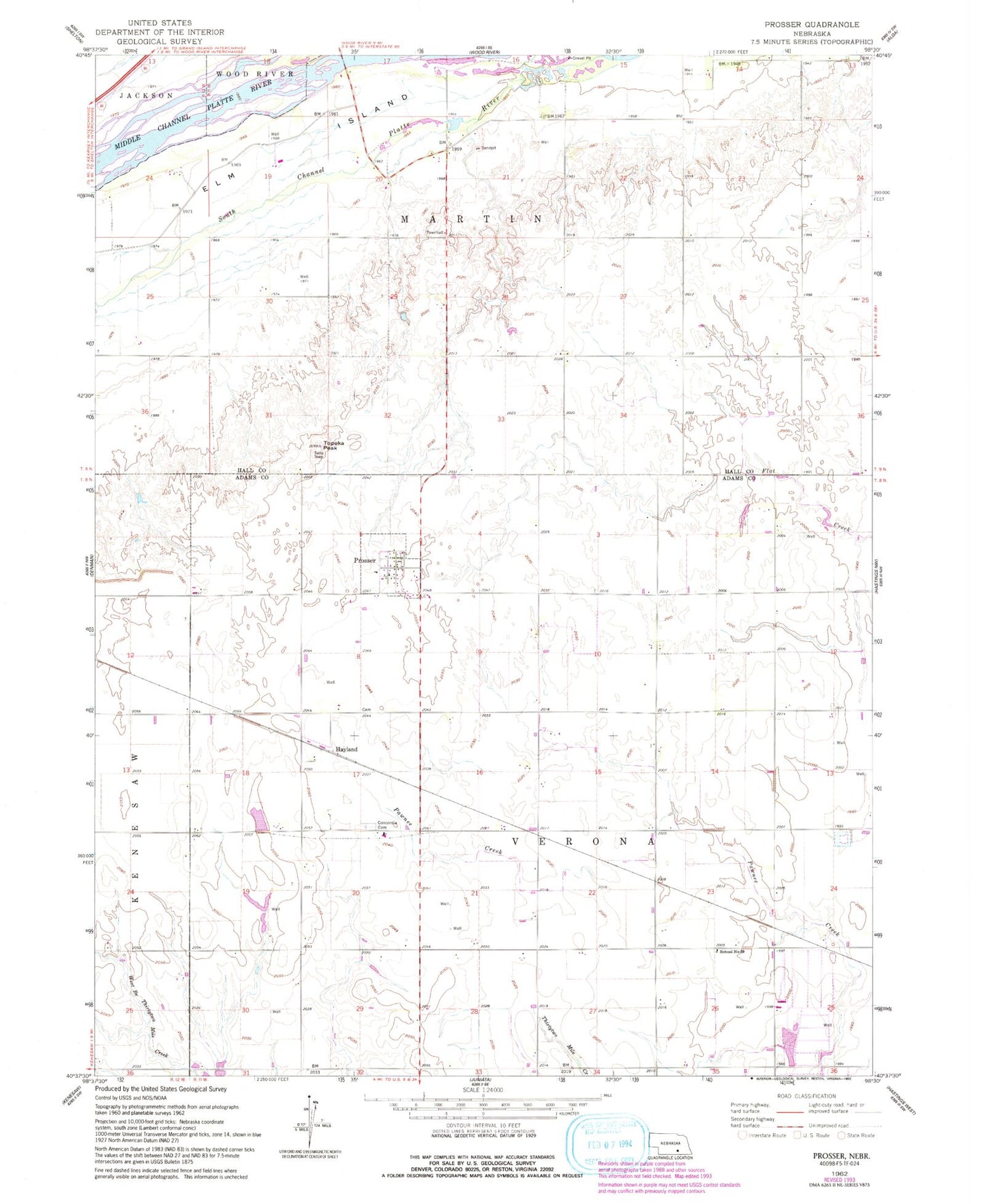
MyTopo
Classic USGS Prosser Nebraska 7.5'x7.5' Topo Map
Regular price
$16.95
Regular price
Sale price
$16.95
Unit price
per
Couldn't load pickup availability
Historical USGS topographic quad map of Prosser in the state of Nebraska. Map scale may vary for some years, but is generally around 1:24,000. Print size is approximately 24" x 27"
This quadrangle is in the following counties: Adams, Hall.
The map contains contour lines, roads, rivers, towns, and lakes. Printed on high-quality waterproof paper with UV fade-resistant inks, and shipped rolled.
Contains the following named places: Aknux Airport, Concordia Cemetery, Hayland, Hayland Post Office, Juniata Feedyard, KRGI-FM (Grand Island), Prosser, Prosser Post Office, Rising Star Public School, School Number 87, Topeka Peak, Township of Martin, Township of Verona, Village of Prosser