MyTopo
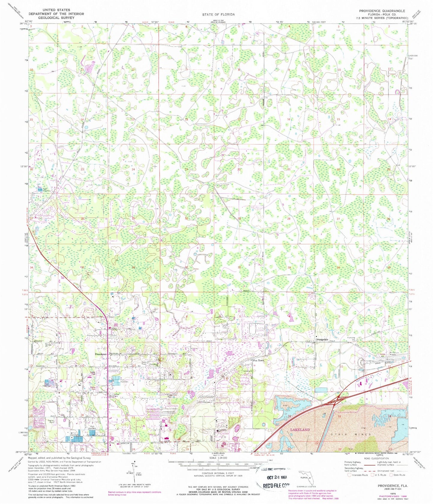
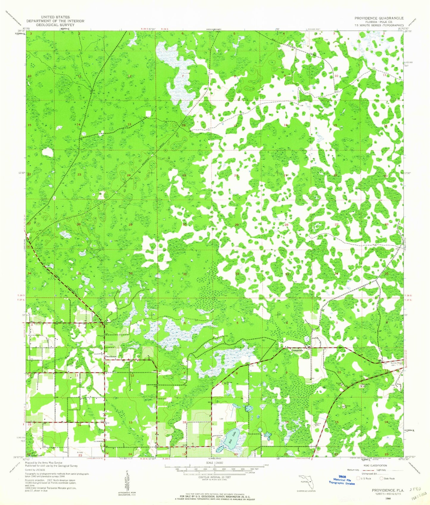
Classic USGS Providence Florida 7.5'x7.5' Topo Map
Couldn't load pickup availability
Historical USGS topographic quad map of Providence in the state of Florida. Map scale may vary for some years, but is generally around 1:24,000. Print size is approximately 24" x 27"
This quadrangle is in the following counties: Polk.
The map contains contour lines, roads, rivers, towns, and lakes. Printed on high-quality waterproof paper with UV fade-resistant inks, and shipped rolled.
Contains the following named places: Christ the King Episcopal Church, Country Oaks Lake, Crestview Church, Duff Lake, Duff Meadows Mobile Home Park, Fox Town, German Church, Green Swamp Aerodrome, Greenbrier Mobile Home Park, Hidden Lake, Kern Mobile Estates, Lake Bowles, Lake Cameron, Lake Ennis, Lake French, Lake Gibson High School, Lake Gibson High School Heliport, Lake Gibson Middle School, Lakeland Division, Martin Estates Mobile Home Park, Orangedale, Our Savior Lutheran Church, Pine Lake Mobile Home Park, Pleasant Ridge Mobile Home Park, Polk County Fire Department, Polk County Fire Department Station 120 Providence, Providence, Providence Church, Saint Andrews Lake, Sherwood Forest Lake, Sick Lake, Smokey Valley Mobile Home Park, Southwinds Mobile Home Park, Sundance Mobile Home Park, ZIP Code: 33809


