MyTopo
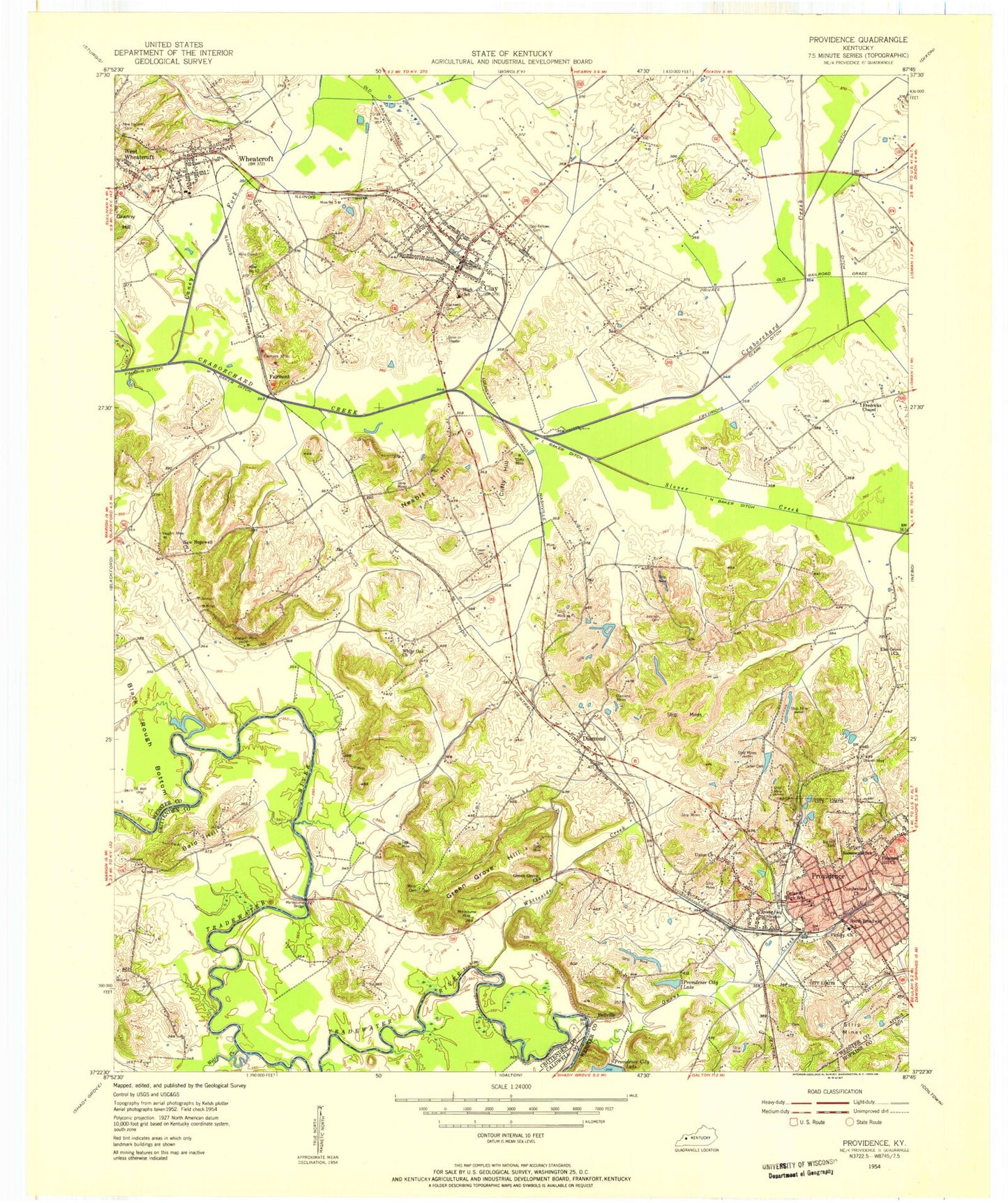
Classic USGS Providence Kentucky 7.5'x7.5' Topo Map
Couldn't load pickup availability
Historical USGS topographic quad map of Providence in the state of Kentucky. Map scale may vary for some years, but is generally around 1:24,000. Print size is approximately 24" x 27"
This quadrangle is in the following counties: Caldwell, Crittenden, Hopkins, Webster.
The map contains contour lines, roads, rivers, towns, and lakes. Printed on high-quality waterproof paper with UV fade-resistant inks, and shipped rolled.
Contains the following named places: Bald Hill, Bellville, Big Hill Cemetery, Blackwell Cemetery, Caney Fork, Cedar Street High School, City of Clay, City of Providence, City of Wheatcroft, Clark Ditch, Clay, Clay Division, Clay Fire Department, Clay Police Department, Clay Post Office, Clifty Hill, Clifty Mine, Cullen Cemetery, Cumberland Church, Diamond, Diamond Mines, Dorris Cemetery, Douven Mine, Elm Grove Church, Fairmont, Fairmont Mines, Fraser - Blackwell Cemetery, Fredricks Chapel, Fredricks Ditch, Green Grove Cemetery, Green Grove Church, Green Grove Hill, I N Baker Ditch, Johnson Cemetery, Johnson Mines, Lanaham Mine, Mine Number 10, Mine Number 4, Mine Number 5, Montezuma Bridge, Montezuma Mine, Mount Olivet, Nesbit Hill, New Hopewell Cemetery, New Hopewell Church, Odd Fellows Cemetery, Owens Creek, Pleasant Hill Church, Providence, Providence City Lake, Providence Division, Providence Fire Department, Providence Police Department, Providence Post Office, Rock Springs Cemetery, Rosenwald School, Shaft Number 7, Slover Creek, South Broadway School, Tigg Mine, Tulno Mine, Union Church, Vaughn Mine, Victory Church, W L Baker Ditch, Watson Cemetery, West Wheatcroft, Wheatcroft, Wheatcroft Fire Department, Wheatcroft Post Office, White Oak Cemetery, White Oak Church, Whiteside Creek, WHRZ-FM (Providence), Williams Cemetery, Wilson Cemetery, Wolf Creek, Wynn Cemetery, ZIP Codes: 42404, 42450, 42463


