MyTopo
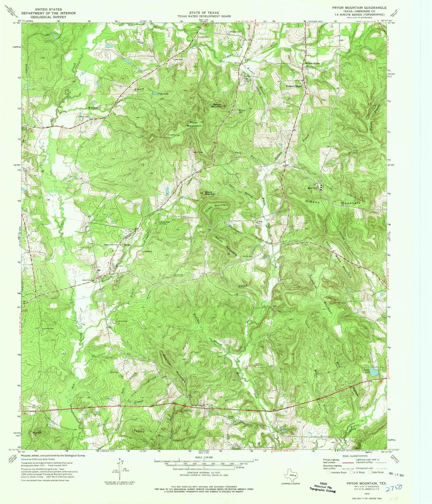
Classic USGS Pryor Mountain Texas 7.5'x7.5' Topo Map
Couldn't load pickup availability
Historical USGS topographic quad map of Pryor Mountain in the state of Texas. Map scale may vary for some years, but is generally around 1:24,000. Print size is approximately 24" x 27"
This quadrangle is in the following counties: Cherokee.
The map contains contour lines, roads, rivers, towns, and lakes. Printed on high-quality waterproof paper with UV fade-resistant inks, and shipped rolled.
Contains the following named places: Adams Chapel, Berry Cemetery, Big Hill, Bird Hollow, Black Branch, Box Cemetery, Bulah, Campground Church, Collins Branch, Collins Mountain, Decker Lake, Decker Lake Dam, Fain Branch, Fowler Hill, Gibson Mountain, Hall Branch, Hendon Branch, Hendrick Cemetery, Henry White Mountain, Holcomb Cemetery, Holliday Branch, Hudson Chapel, Jones Branch, Jones Mountain, Lewis Branch, Lone Oak, Lynchs Chapel, Manson Branch, McCann Creek, McCann Spring, Merideth Creek, Miller Branch, Moseley Cemetery, Nelson Cemetery, Newton Branch, Parks Cemetery, Parks Lake, Pryor Lake, Pryor Mountain, Reagan Mountain, Round Mountain, Russell Cemetery, Sand Branch, Smith Cemetery, Smith Mountain, Stevens Branch, Sunshine Mountain, Thompson Branch, Walnut Branch, William Wise Oil Field, Woodall Branch


