
MyTopo
Classic USGS Puaakala Hawaii 7.5'x7.5' Topo Map
Couldn't load pickup availability
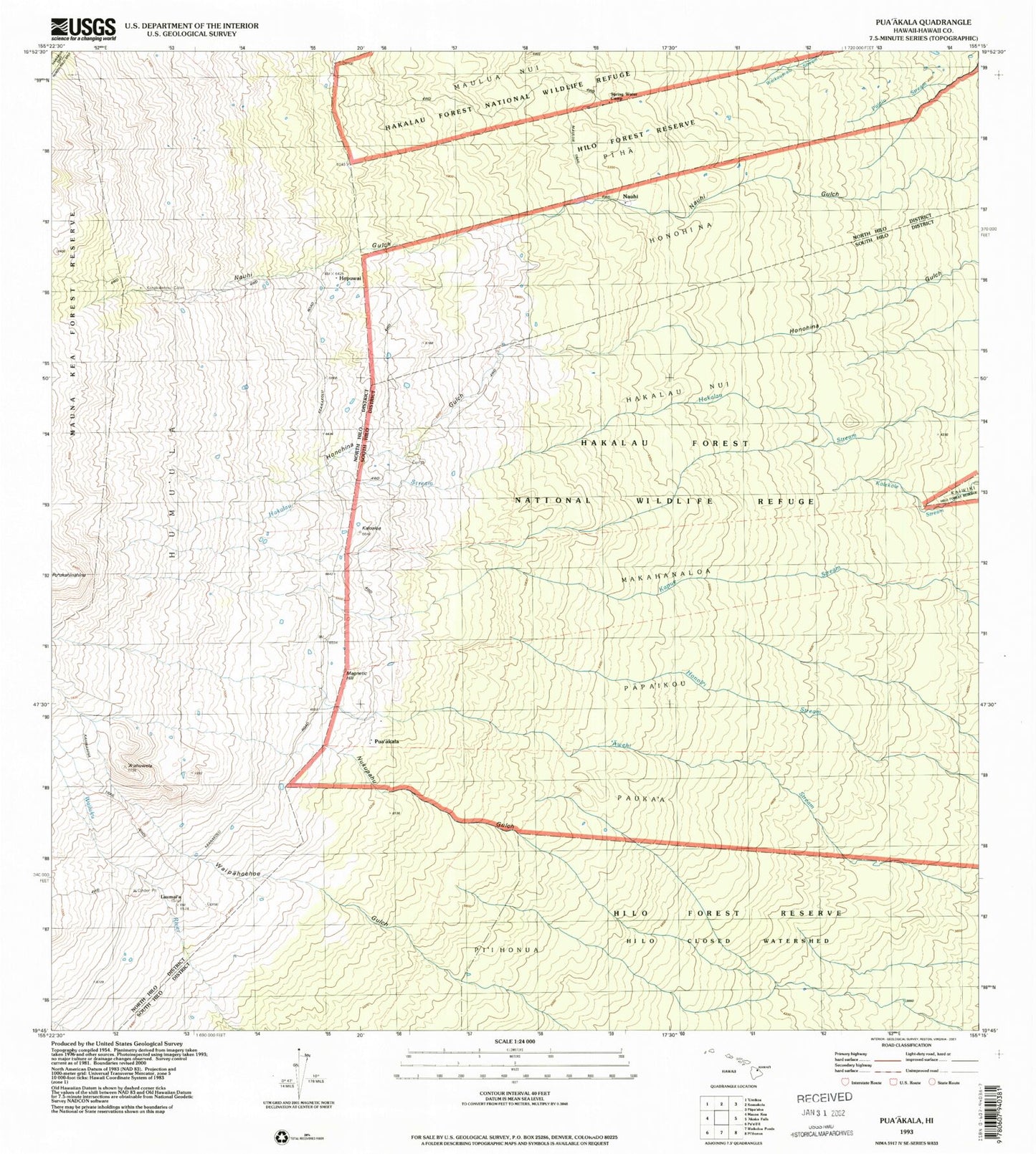
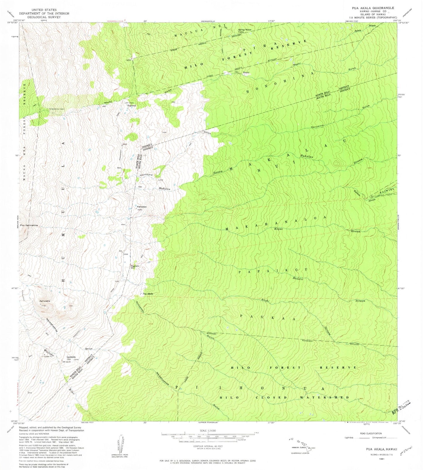
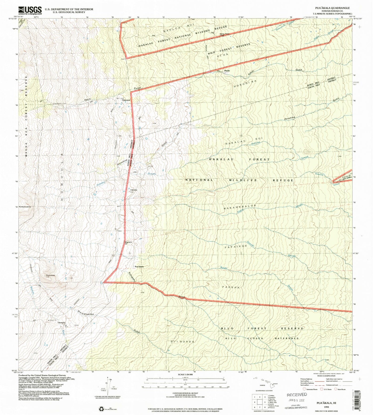
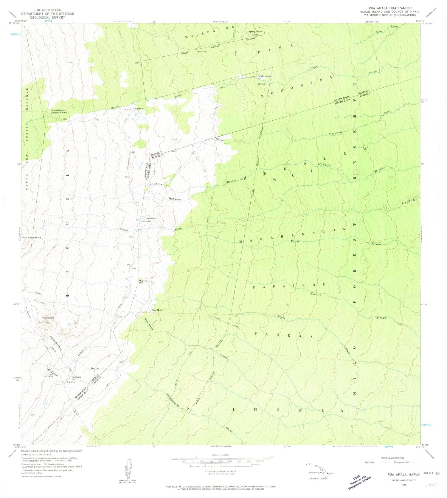
Historical USGS topographic quad map of Puaakala in the state of Hawaii. Map scale may vary for some years, but is generally around 1:24,000. Print size is approximately 24" x 27"
This quadrangle is in the following counties: Hawaii.
The map contains contour lines, roads, rivers, towns, and lakes. Printed on high-quality waterproof paper with UV fade-resistant inks, and shipped rolled.
Contains the following named places: A'ahuwela, Hakalau Forest National Wildlife Refuge, Hilo Closed Watershed, Hilo Forest Reserve, Honohina, Hopuwai, Kaloaloa, Kanakaleonui Cabin, Kanakaleonui Ranger Station, Laumai'a, Magnetic Hill, Maulua Trail, Nauhi Camp, Nawaiehu Gulch, North Hilo District, Nukupahu Gulch, Pihonua Hawaiian Home Land, Pua'akala, South Hilo District, Spring Water Camp