MyTopo
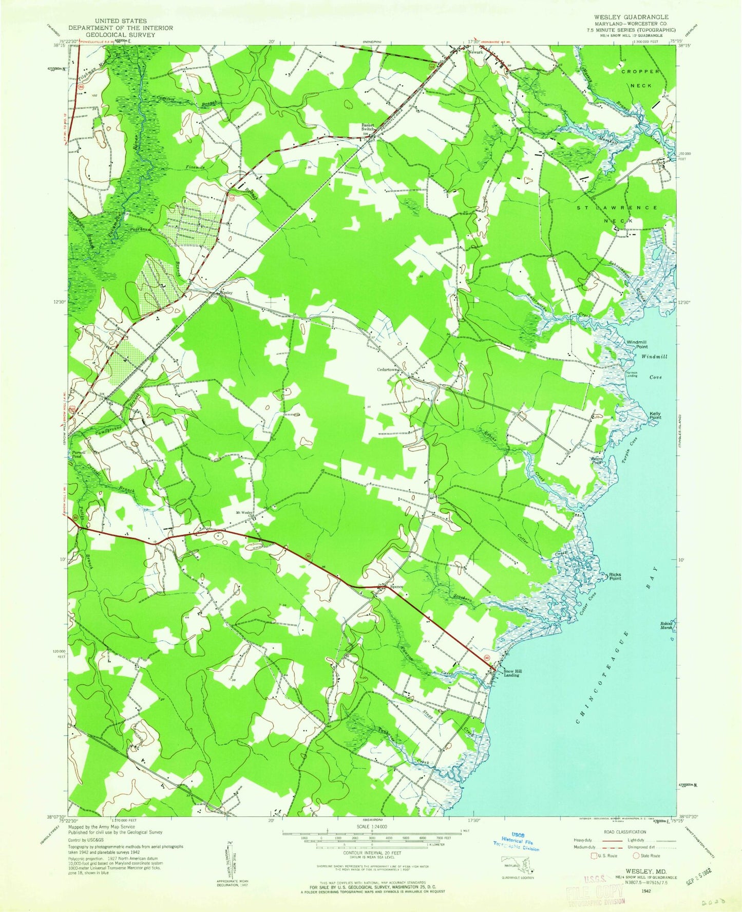
Classic USGS Public Landing Maryland 7.5'x7.5' Topo Map
Couldn't load pickup availability
Historical USGS topographic quad map of Public Landing in the state of Maryland. Map scale may vary for some years, but is generally around 1:24,000. Print size is approximately 24" x 27"
This quadrangle is in the following counties: Worcester.
The map contains contour lines, roads, rivers, towns, and lakes. Printed on high-quality waterproof paper with UV fade-resistant inks, and shipped rolled.
Contains the following named places: Acquango Branch, Basket Switch, Cedar Chapel School, Cedartown, Central Landfill, Coonfoot Branch, Cotter Cove, Cotter Creek, Cropper Neck, District 2 Central, Ebenezer Cemetery, Fivemile Branch, Handys Hammock, Harmon Landing, Harmon Landing Estates, Icehouse Branch, Kelly Point, Langmaid Landing, Mason Landing, Massey Branch, Mount Wesley, Mount Wesley Methodist Church, Nathaniels Retreat, Newark Volunteer Fire Company - Station 500, Oak Hill Estates, Old Trinity Cemetery, Pattys Branch, Pawpaw Creek, Peters Pond, Poorhouse Branch, Porters Crossing, Public Landing, Ricks Point, Robins Creek, Saint Lawrence Neck, Scarboro Creek, Schoolhouse Branch, Snow Hill Church, Snow Hill Marina, Snow Hill Mennonite School, Spence, Spence Baptist Church, Stagg Creek, Tanhouse Creek, Tilghman Mill Branch, Turpin Cove, Waterworks Creek, Wesley, Windmill Cove, Windmill Point, Worcester Career and Technology Center, Worcester County, ZIP Code: 21841