MyTopo
Classic USGS Pueblo Alto Trading Post New Mexico 7.5'x7.5' Topo Map
Couldn't load pickup availability
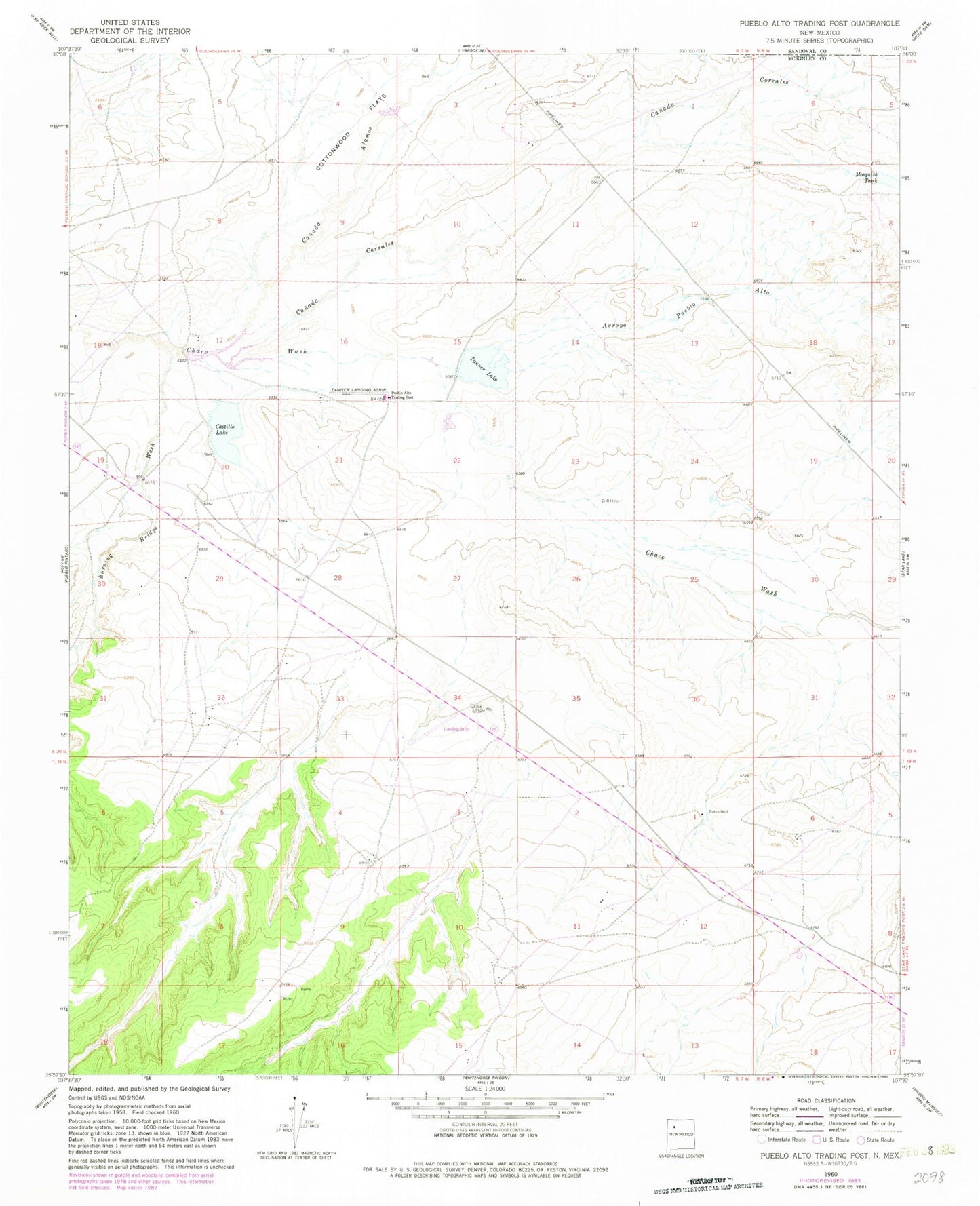
Historical USGS topographic quad map of Pueblo Alto Trading Post in the state of New Mexico. Map scale may vary for some years, but is generally around 1:24,000. Print size is approximately 24" x 27"
This quadrangle is in the following counties: McKinley, Sandoval.
The map contains contour lines, roads, rivers, towns, and lakes. Printed on high-quality waterproof paper with UV fade-resistant inks, and shipped rolled.
Contains the following named places: 19R-300 Water Well, Arroyo Pueblo Alto, Burning Bridge Wash, Canada Alamos, Canada Corrales, Castillo Lake, CCR 24 Water Well, Cottonwood Flats, Mosquito Dam, Mosquito Tank, Pot Point, Pueblo Alto Trading Post, Pueblo Pintado Census Designated Place, Pueblo Pintado Chapter, Raton Spring, Tanner Lake